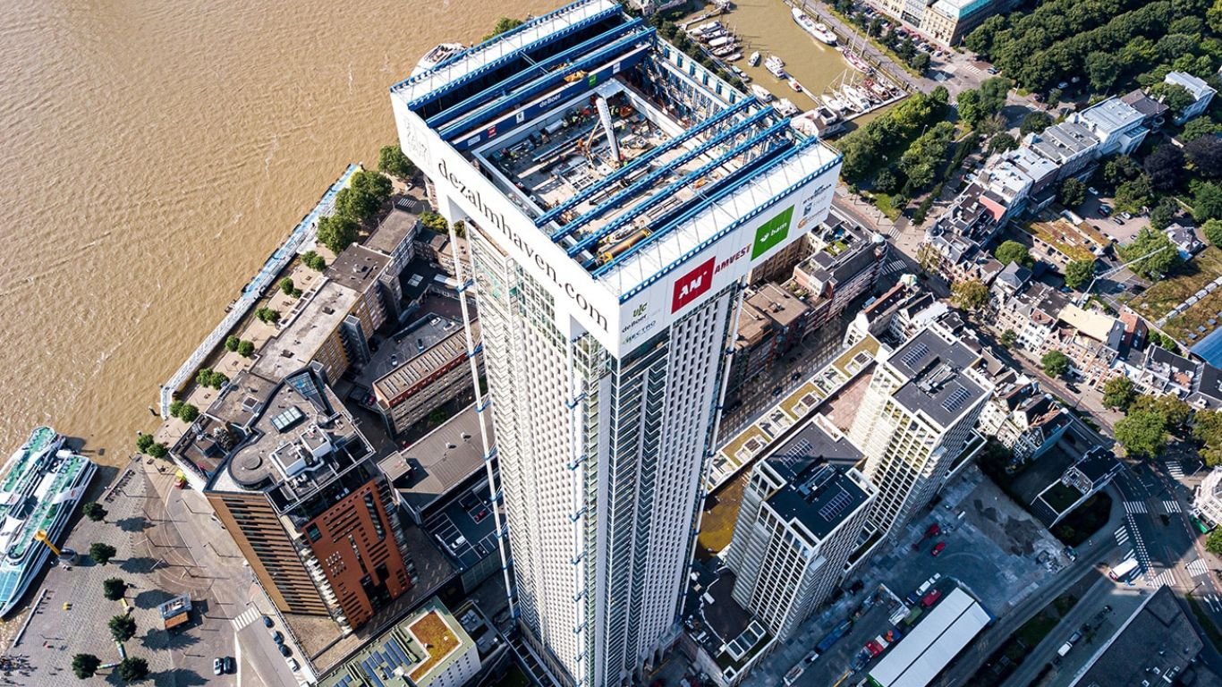
HIGHRISE BUILDINGS IN ROTTERDAM CASE STUDY
THE SKYGEO 6-STEP APPROACH: MEASURING BUILDING-INDUCED DEFORMATION WITH INSAR OVER THE LONG-TERM AND OVER A WIDE AREA
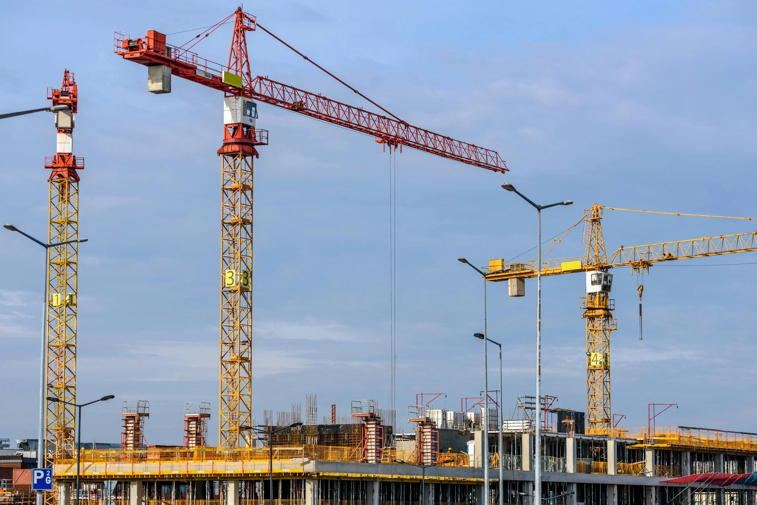
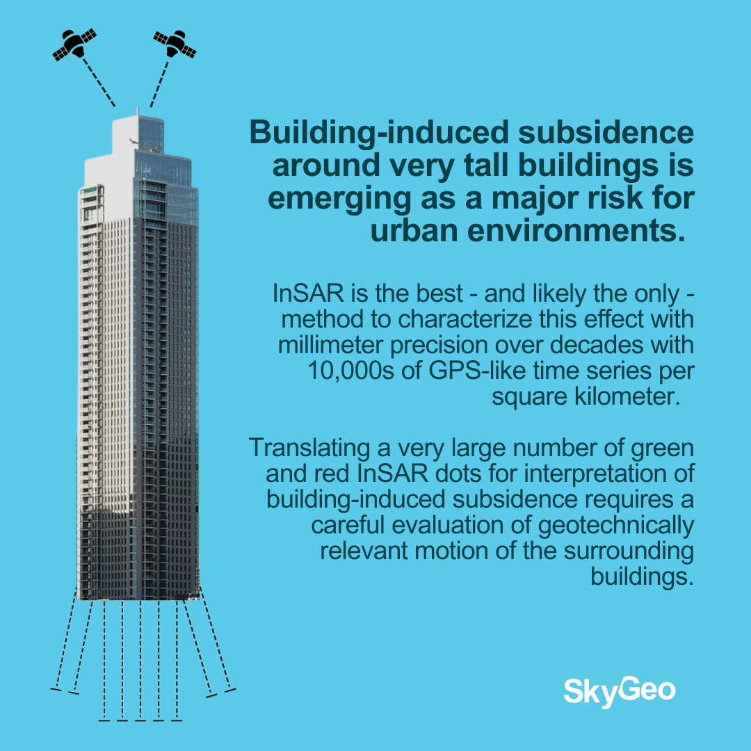
Tall buildings shape city skylines, but they also reshape the ground beneath them. Building-Induced Deformation is a critical challenge for urban infrastructure, leading to tilting, subsidence, and structural risks that often go unnoticed. Buildings tilt in a subsidence bowl with a 400m radius, all other infrastructure is affected by building-induced subsidence. Including all underground pipelines and cables.
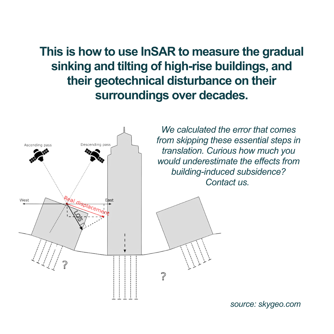
The only way to measure and track the development of this subsidence bowl is with InSAR. At SkyGeo, we show it takes a 6-step InSAR-based methodology to effectively use the InSAR! Skip these steps and likely you wind up under-estimating the building-induced subsidence effect.
By using InSAR and analyzing these deformations with millimeter precision, we can help cities everywhere prevent damage before it happens.
1. Reference Point Determination
We create a compoun average to establish a zero movement point to reference against is crucial and challenging, as in the case of Rotterdam, where the city is subsiding and most buildings are moving.
2. Signal Decomposition
The InSAR signal is decomposed into vertical and horizontal components along the Line of Sight (LOS) of the radar to establish the tilting and the sinking trends of all affected structures separately.
3. Data Selection & Filtering
We eliminate irrelevant geotechnical “noise” to isolate movements linked to geotechnical effects from the new high-rise and validate against existing geodetic data.
4. Correction for Building Shape Changes
We filter out movements that are influenced by factors unrelated to geotechnical issues like the inherent settling of materials like concrete.
5. InSAR for the Very Long Term: Data Harmonization
Integrating InSAR data from various radar missions means duplicating the above steps and then harmonizing the observations. This unique and extra step separayes “background tilting” from “induced tilting”.
6. Impact Visualization
We estimate how far away subsidence effects occur after construction of the high-rise and visualize the “wide area effect” on surrounding buildings, insights that are crucial for urban planning.
Conclusion
From San Francisco’s Millennium Tower to Miami’s high-rises and Rotterdam’s historic infrastructure, InSAR interpretation is key to proactive risk management. With over a decade of leadership in InSAR analytics, SkyGeo empowers cities to build safely and sustainably.
Ready to protect your assets and budget? Get in touch with our team, now.
Civil Engineering Case Studies
-
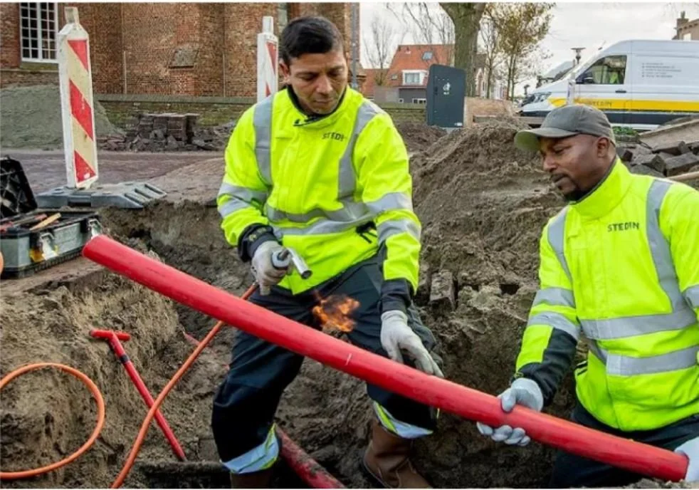
Stedin gas service lines
By implementing our risk assessment experience, Stedin NV can now target only the service lines that are truly at risk, reducing costly investment and optimizing their maintenance workflow.
-
City of Rotterdam
We can help cities everywhere to prevent damage before it happens, by using InSAR and analyzing these deformations with millimeter precision.
-
City of Diemen
“Problems we had for years with manual measurements were resolved at once.”