
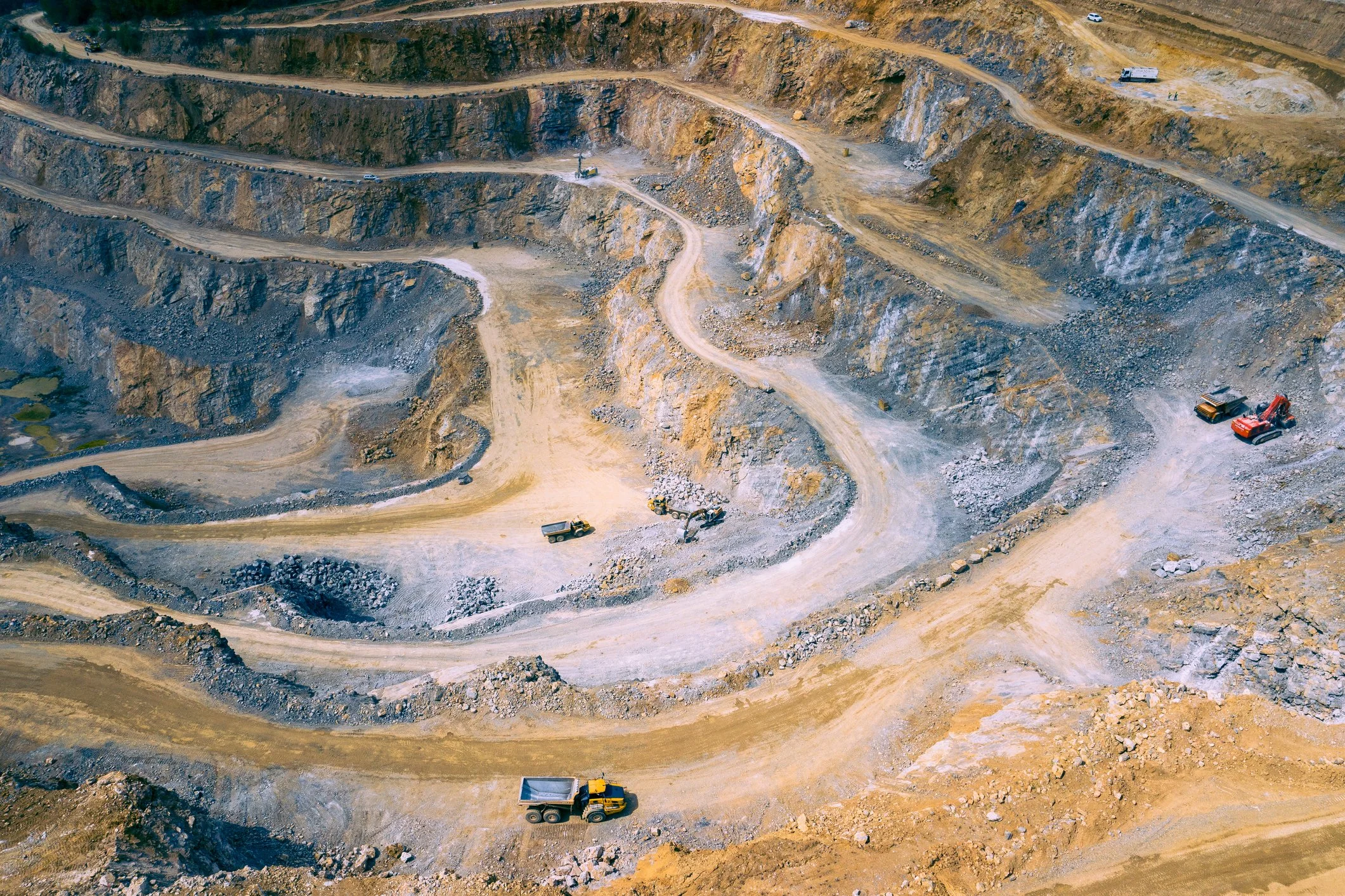
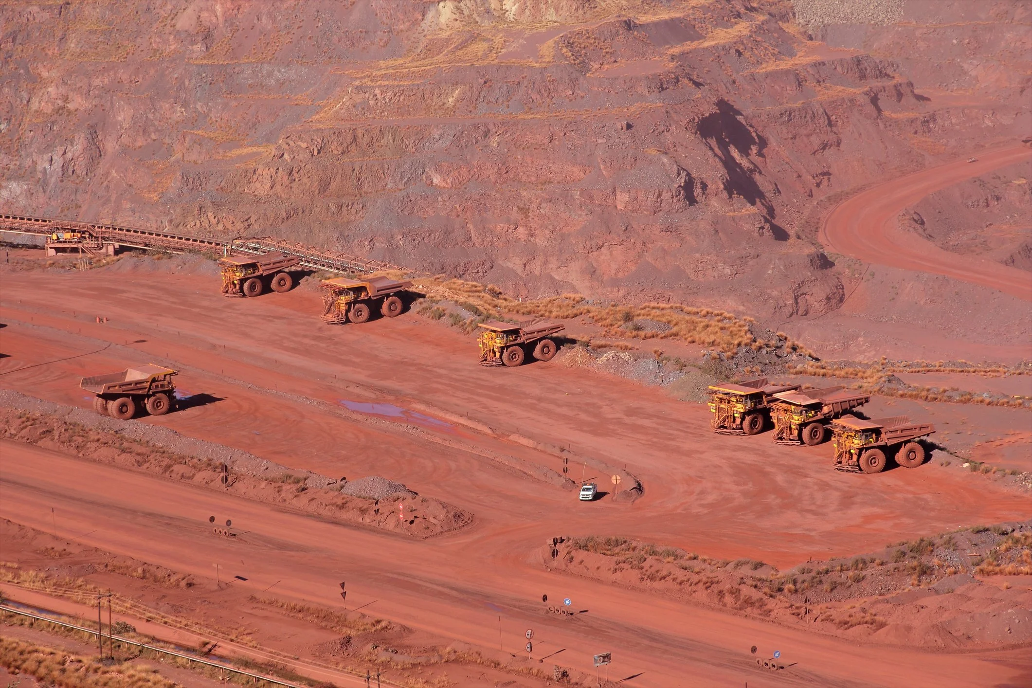
MINING STABILITY MONITORING
IDENTIFYING INSTABILITIES WITH INSAR
Mining stability monitoring provides persistent geotechnical risk surveillance to identify areas of abnormal surface movement over time.
By assessing time-dependent shape changes in Antares, geotechnical domain experts can identify patterns of instabilities. This is a direct pathway to improving asset management in mining operations.
Early Warning Communication
So many mining companies around the world have chosen SkyGeo to be their geotechnical risk and InSAR partner.
We pride ourselves on being world class field application engineers and we are on a mission to make InSAR the standard remote monitoring solution in the mining industry.
Regular monitoring provides detailed, wide-area information on instabilities. Our Antares platform will provide you with early warning communication when potential problems are detected.
SkyGeo is the market leader for InSAR analysis to detect and measure surface movement and understand them in terms of structural or ground water changes.
Hundreds of customers from all over the world have been working with SkyGeo products and consultants for over a decade. Every mine is different and we’ve proven there is no standard InSAR solution that fits all.
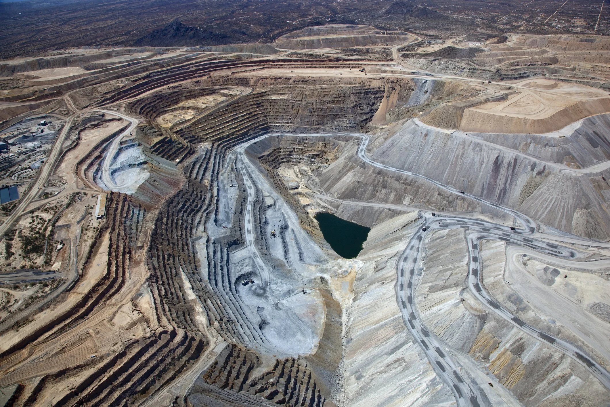
Tailings Dam Stability
The mining industry has workflows and safety practices like no other industry.
We can assist in site production up-time, by using satellite data for forecasting maintenance. Areas that are moving with unexpected patterns need more attention than areas where the surface is stable.
Groundwater is known to play a key role in this process, we help visualize the role of groundwater better. Our engineers and geoscientists work together with you and your geotechnical team to make sure maintenance planning is optimized and cost can be reduced.
Environmental risk management is a serious topic in the Mining Industry.
Will it ever be possible to fully prevent a failure by using data? We are starting to understand the predictive power of these millions of remote sensing measurements, but they require a specialist to convert them into a correct and easy-to-understand statement about safety.

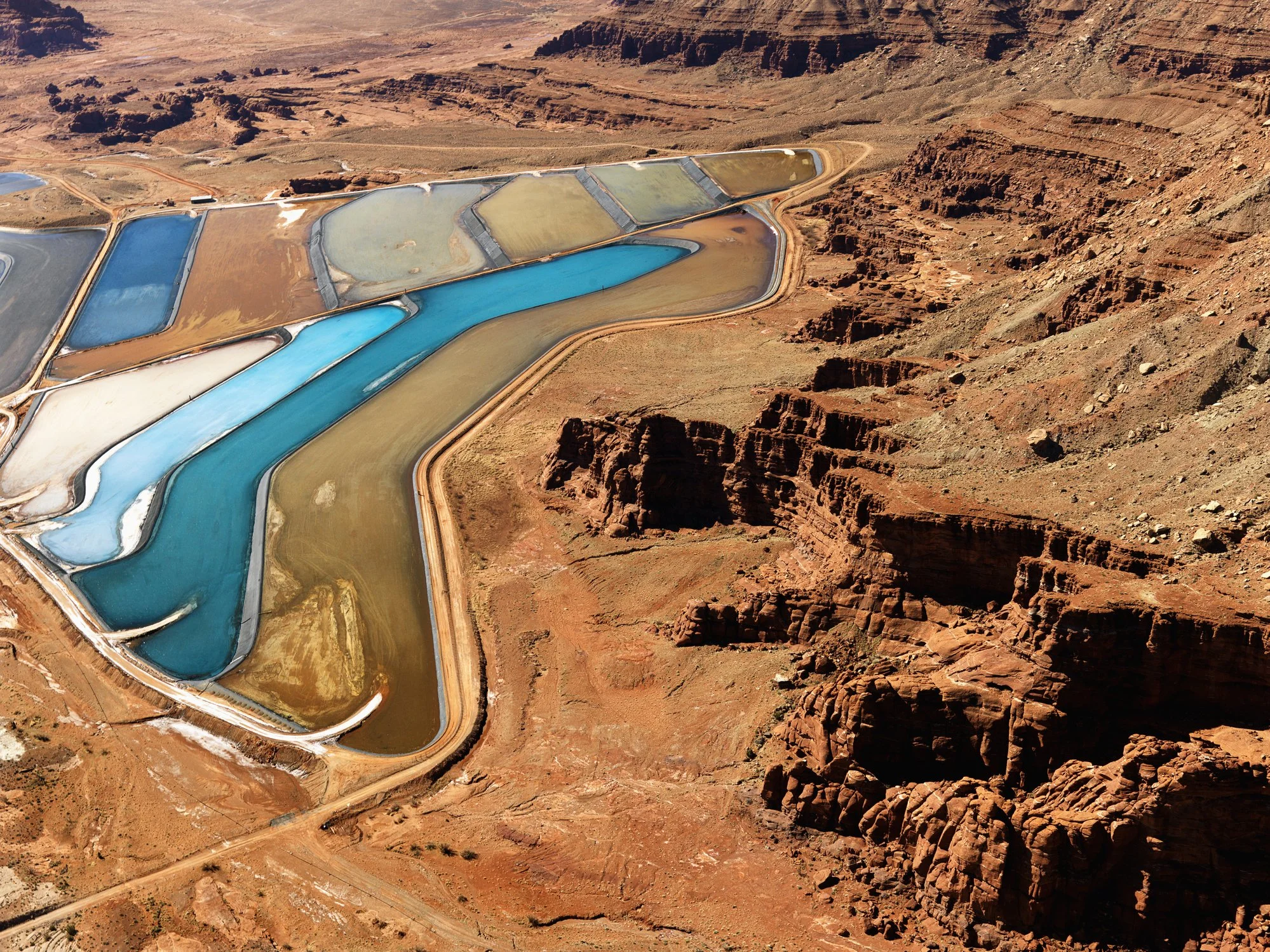
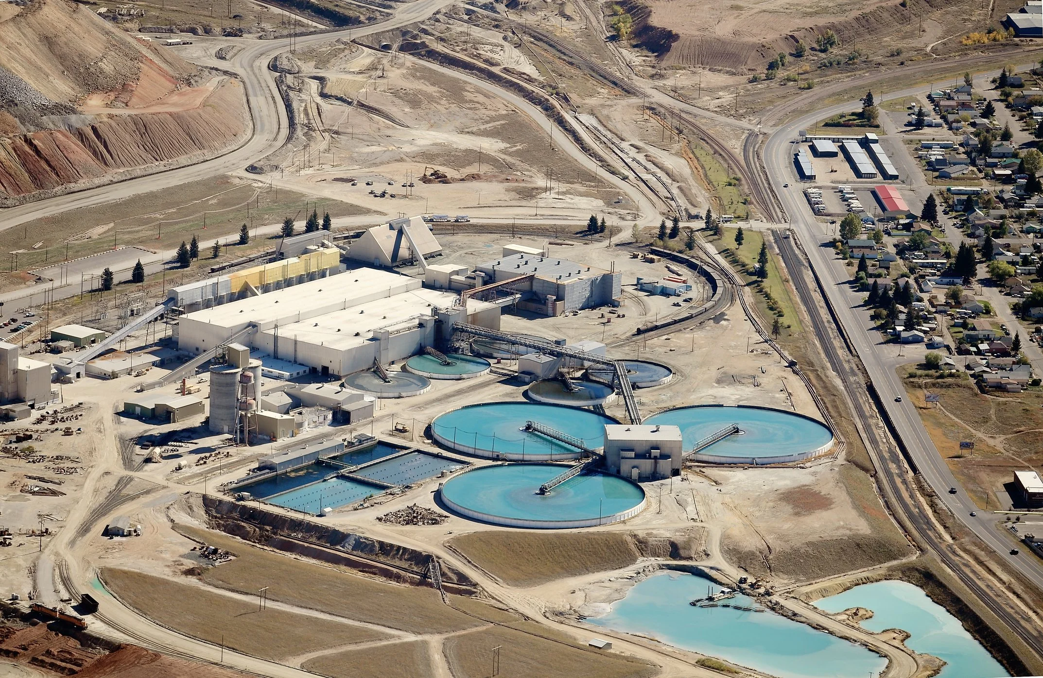
Tailings Storage Facilities’ Stability
Each mine has several areas of high geotechnical risk, that each require dedicated iterative assessment. Tailings dams pose a special category of risk. Because of environmental issues in the recent past, most mining experts are now looking for continuous monitoring systems to predict instability better.
Solid tailings are often used as part of the structure itself and with the tailings being liquid or a slurry of fine particles groundwater, significant instabilities arise in a variety of ways that are usually not completely understood.
With InSAR we can help this understanding: we characterize and quantify these time-dependent degradation processes on a wide area scale and identify different dynamic patterns. Monitoring these patterns continuously is now a proven permanent risk management method.
The deployment approach of remote and local sensors is different for any of the three raised tailings dam designs, the upstream, downstream and centerline.
Measurements into insights
For stability evaluation of piles and dumps, but also for highwall slopes or longwall slopes, we take groundwater levels into consideration, as well as soils and other geotechnical influences. These factors impact both the InSAR measurements and the resulting insight. We are building up a library of relevant displacement patterns.
We create short term “iso-displacement” maps every time the satellite acquires an image and rank displacement in the mine over the last couple of days by way of a 4-stage “traffic light” alerting system.
For most customers, we typically show two different lines of sight, showing different parts of the mine. These Contour Maps are different from our time series products.
For more information on the relative merits of both these products and how they can help discover different stability issues, talk to our specialists.
Full Mine Site Coverage
InSAR Stability Monitoring can provide early warning of ground movement across the entire mine site, including the tailings storage facilities.
This warning system triggers operators when to mobilize for visual inspection or assign other available site resource like ground-based radar or drone-based systems for an emergency survey of the site.
A key benefit of our system is to pre-process the InSAR data in our platform to a set of thresholding criteria for ground motion dynamics, resulting in a site-specific traffic light function.
The data we share with your company seamlessly integrates with all industry standard mining software. A new dataset can be made available every time satellites revisit. For some locations this is bi-weekly but other sites are monitored every 5-6 days.
Transparent and Reliable InSAR Processing
At SkyGeo we know how the complex InSAR machine works inside and out; we know what works well – and what doesn’t when assessing all the different aspects of the mine stability.
We have built our own code base to do interferometry; we do not rely on black-box third party software.
We task and work with all available satellites and configure a service to optimize continuous risk monitoring.
Moreover, we have built a progressive rigorous process to do Quality Assurance auditing of our InSAR for Mining applications that has met the rigorous quality standards imposed by some of the largest and most demanding organizations in the world like ExxonMobil and Shell.
Frequently Asked Questions
-
InSAR provides wide-area, time‑series visibility of surface deformation across an entire mine site—including pits, dumps, and tailings facilities. When interpreted correctly, it helps identify where movement is changing over time so teams can prioritise inspection, monitoring resources, and mitigation planning.
-
InSAR can help characterise and quantify deformation trends across TSFs and surrounding ground, supporting early awareness and prioritisation. Because TSFs are high‑consequence assets, results should be interpreted by specialists and integrated with site monitoring and geotechnical context to support safe decisions.
-
Early warning means identifying abnormal movement patterns or changes in trend early enough to trigger closer review or additional on‑site investigation. Practical early warning depends on a site‑specific framework: baselines, thresholds, and expert interpretation—not a single universal number or map.
-
Data-only outputs can be easy to misread, especially in complex mine environments. SkyGeo combines InSAR data with geotechnical domain expertise, quality controls, and interpretation workflows to translate measurements into clear, risk‑aware insight that supports decisions and safe operations.
-
Satellite monitoring supports TSF safety programmes by providing consistent, independent observations of deformation patterns over time. It helps demonstrate due diligence, supports audit trails, and can highlight trends that warrant closer investigation. Importantly, TSF risk management depends on interpretation—understanding what movement is expected, what is abnormal, and how change relates to site conditions and operational actions. Satellite monitoring is most effective when it sits within a governance framework: thresholds, responsibilities, validation steps, and clear escalation pathways.
-
Satellite monitoring can identify deformation trends that may indicate changing conditions, but it should not be treated as a simple ‘failure prediction’ tool. Tailings failures are complex and often depend on multiple interacting factors. The responsible use of satellite data is as an early-warning and screening layer: detect change, assess trend behaviour and uncertainty, then investigate with engineering judgement and complementary monitoring. Overconfidence in raw data outputs can be dangerous; decision-grade insight requires expert validation and context.
-
Typical parameters include displacement over time (time-series), velocity (rate of movement), acceleration (change in rate), and spatial patterns such as differential movement across the structure and its surroundings. Context matters: movement direction relative to the dam geometry, correlation with operational changes, and consistency across measurement points. Monitoring programmes also track uncertainty and data quality so interpretation remains reliable. The aim is not to ‘collect points’, but to detect meaningful change early and support clear escalation decisions.
Let Us Know How We Can Help You
info@skygeo.com