
SUSTAINABILITY LEADERSHIP WITH InSAR SUSTAINABILITY
DEMONSTRATE SUSTAINABILITY LEADERSHIP BY INFORMING YOUR OPERATIONS WITH InSAR
Putting an InSAR strategy in place offers a strong value basis for improving your sustainability initiatives. Carefully deploying satellite-based data, translating it into insights and integrating it into your asset models will directly help you reduce emissions and capital goods materials use.
InSAR-derived insights help deliver implicit savings that can support other sustainability initiatives by improving the economics of asset monitoring. And importantly, an InSAR strategy provides tangible evidence of sustainability leadership.
SkyGeo’s Sustainability Services
Infrastructure asset maintenance optimization and asset lifecycle extension.
Underground storage: CO2 injection supervision and storage monitoring.
Wide area assessment of climate adaptation initiatives’ impact.

Predictive modelling of long term trends for long term policy decision support and planning.
Natural hazard assessment and predictive modelling of effect on infrastructure.

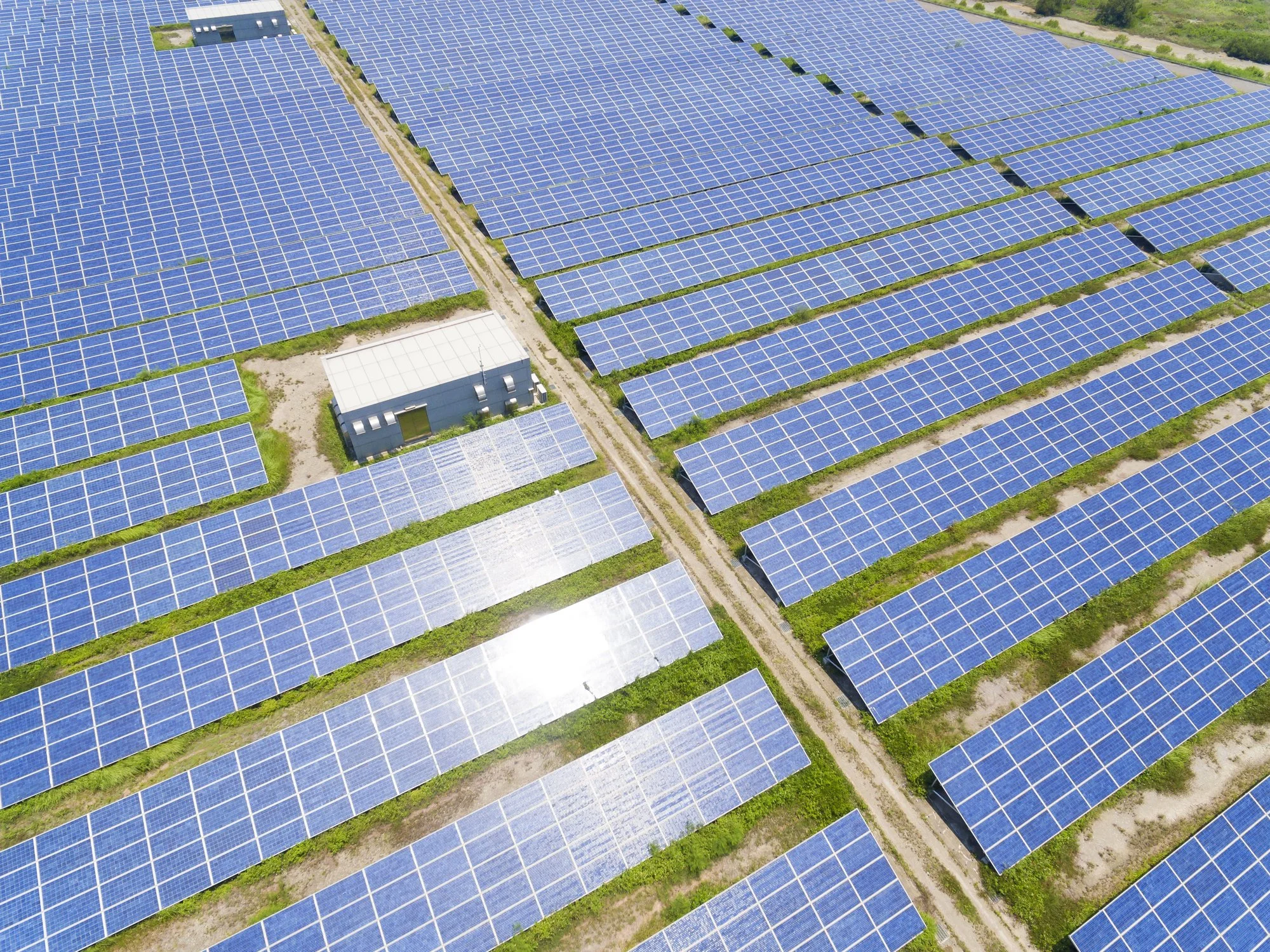
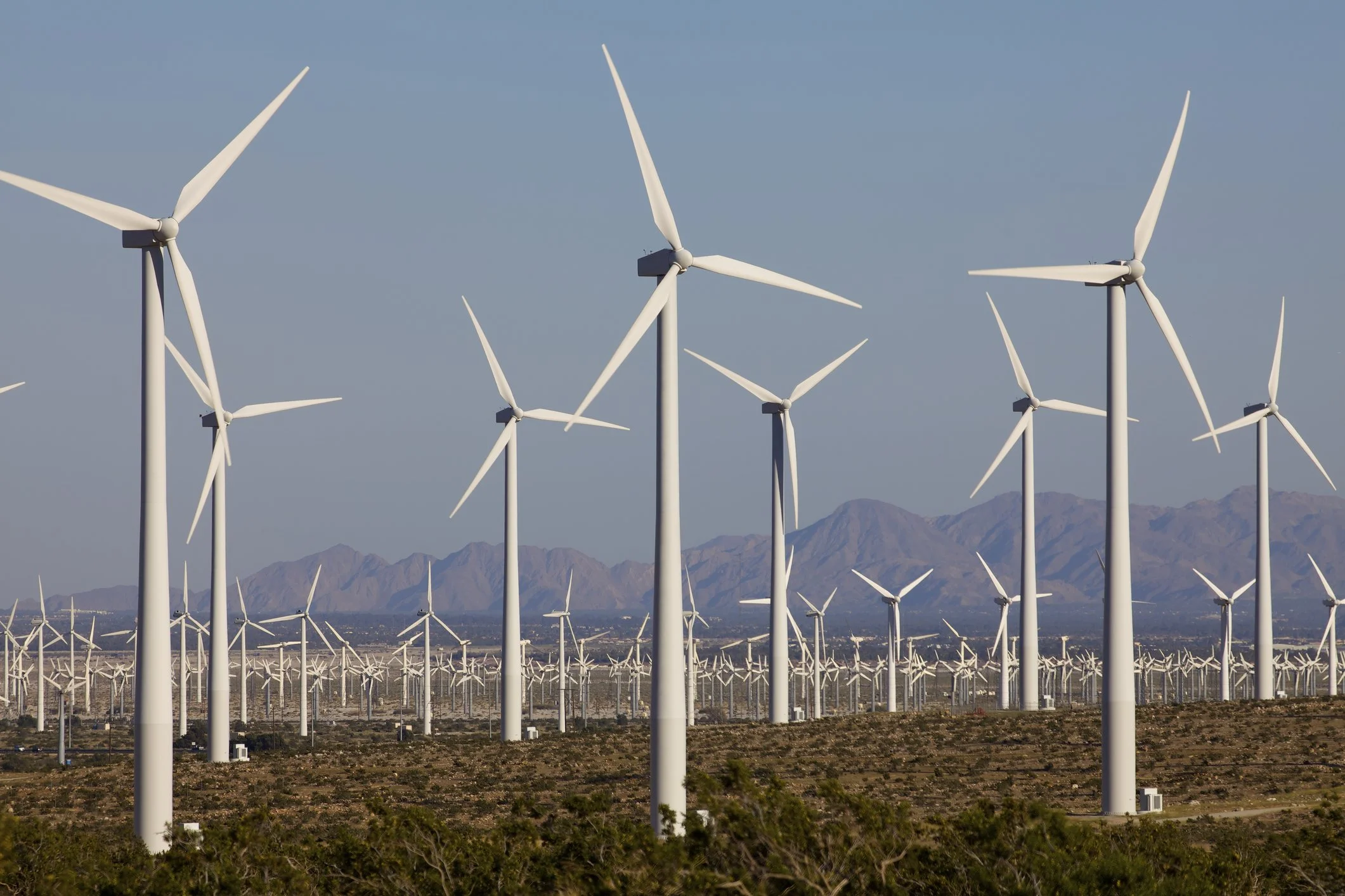
Geotechnical and operational safety monitoring of wind, solar and geothermal assets.

Closure and end-of-life monitoring of mines and tailings storage facilities.
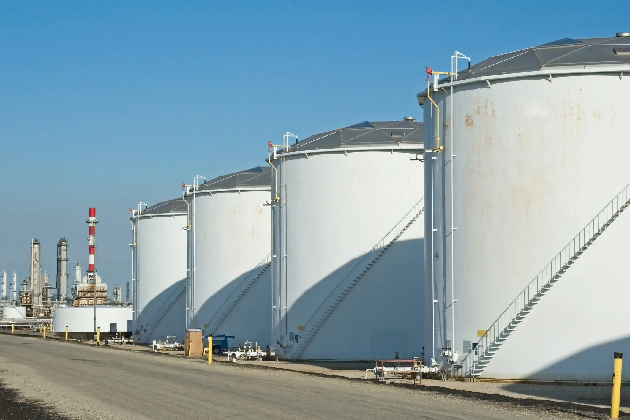
Water resource management in oil and gas operations.

Build better climate impact resilience
From extended drought periods to intense rainfall to heat waves, climate-related extreme weather continues to take a toll on public and private infrastructure. This trend is often acting on aging infrastructure. InSAR based assessment can provide rapid insights into areas that are most vulnerable.
Combined with iterative processing and a complete feedback loop, we can support risk based asset monitoring for improving climate adaptation.

Strengthen your social license to operate
Companies building on the surface or operating in the sub-surface need to show to the public that they have a firm grip on the risks associated with their operations. The public wants to see that they can trust operators to preserve and protect the existing environment.
Operators are creating long walls, building complex structures or injecting liquids under high pressure, and doing many other potentially impactful works; frequent satellite-based monitoring is an effective wide area tool for showing a hand-on-the-tap approach. You can enhance your case in order to strengthen your social license to operate.
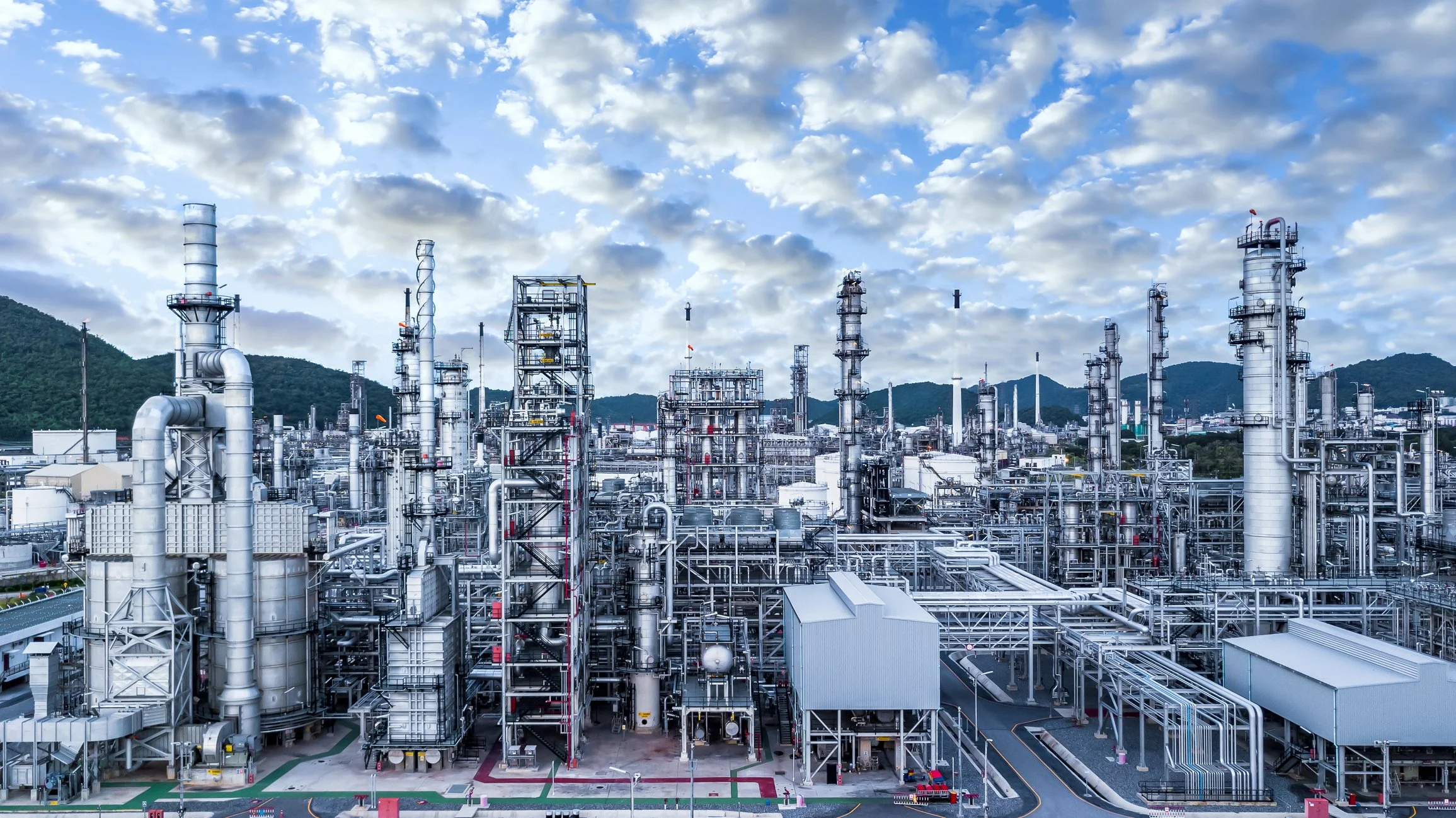
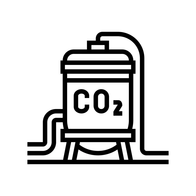
Effectively monitor carbon capture and storage operations
As large scale storage solutions of CO2 are being developed, injection of CO2 into depleted reservoirs and shallow dip angle saline aquifers remains only partially understood and characterized. Operators and customers alike need effective and cost-efficient solutions for monitoring the CO2 plume.
InSAR will be able to support effective monitoring in a subset of the CCS deployments throughout the lifecycle: for site selection and pre-production stability assessment, for characterizing additional risk in operations such as unstable or leaking wellbores. During the injection phase, we can monitor for plume evolution and assess conformance against the inverted reservoir model, in order to make sure that CO2 does not go into pore space that was not leased. Plan for the long term by periodic assessment of long term asset integrity and loss of containment.
Show sustainable leadership by using low carbon data
Increasingly, investors and consumers alike are seeking products and services from companies that are actively reducing carbon emissions, adopting renewable energy, and stewarding the environment.
SkyGeo works with dozens of public entities and private companies to support their corporate sustainability goals by improving their asset monitoring and surveying as a business process that has a near-zero carbon footprint itself and is complementary to high carbon footprint business processes. Assessing satellite data does not require travel and boots on the ground for surveying or complex instrumentation to be installed.
Get in front of the trends in the energy industry
Climate concerns and renewables deployment are transforming the energy landscape. Wind and solar farms, as well as geothermal sites are coming online at record speed, reducing overall reliance on fossil fuels and supporting sustainability goals.
All these new types of constructions need to be operated for the long term, so geotechnical stability and long term asset integrity are key outcomes. SkyGeo works with third parties and integrates their data for key inputs and decision support for long term geotechnically stable operations.
Fine-tune high carbon asset maintenance work
Remote sensing over wide areas can help rationalize asset maintenance for many types of industry.
By accelerating maintenance where risk is high, obviously risk is mitigated effectively – but also identifying where maintenance can safely be postponed, high carbon footprint work can be minimized over time.

Public access to our data
In order to make InSAR over wide areas available to a wide audience, we have initiated several initiatives to make application agnostic, wide area data available to the general public.
Based on feedback on our initiatives, we keep updating this data set; also we are growing the area over which we make this data available. If your area is not covered today come back and check later to see if it has been added, or contact us.
Frequently Asked Questions
-
SkyGeo supports sustainability goals by giving organizations earlier evidence of ground movement so they can target intervention, reduce avoidable damage, and manage assets more responsibly.
-
InSAR can help extend asset life, reduce unnecessary fieldwork, focus maintenance where it matters most, and support more defensible environmental and operational decisions.
-
Utilities, mining companies, energy operators, public authorities, and infrastructure owners benefit most when they manage large areas, aging assets, or environmentally sensitive operations.
-
Early movement insight supports safer operations, better resource allocation, and clearer evidence for risk management. That strengthens both operational resilience and sustainability reporting.
Let Us Know How We Can Help You
info@skygeo.com