
PREDICTIVE MAINTENANCE IN CIVIL ENGINEERING
InSAR FOR CIVIL ENGINEERING
SkyGeo will configure an InSAR Monitoring solution for you: with millimeter accuracy,up to 25 years worth of history and 100,000’s measurement points per km², each with a graph of displacement over time.
Our data is often the best predictor for mean time before failure of the assets. Risk management practitioners use this for predictive maintenance.
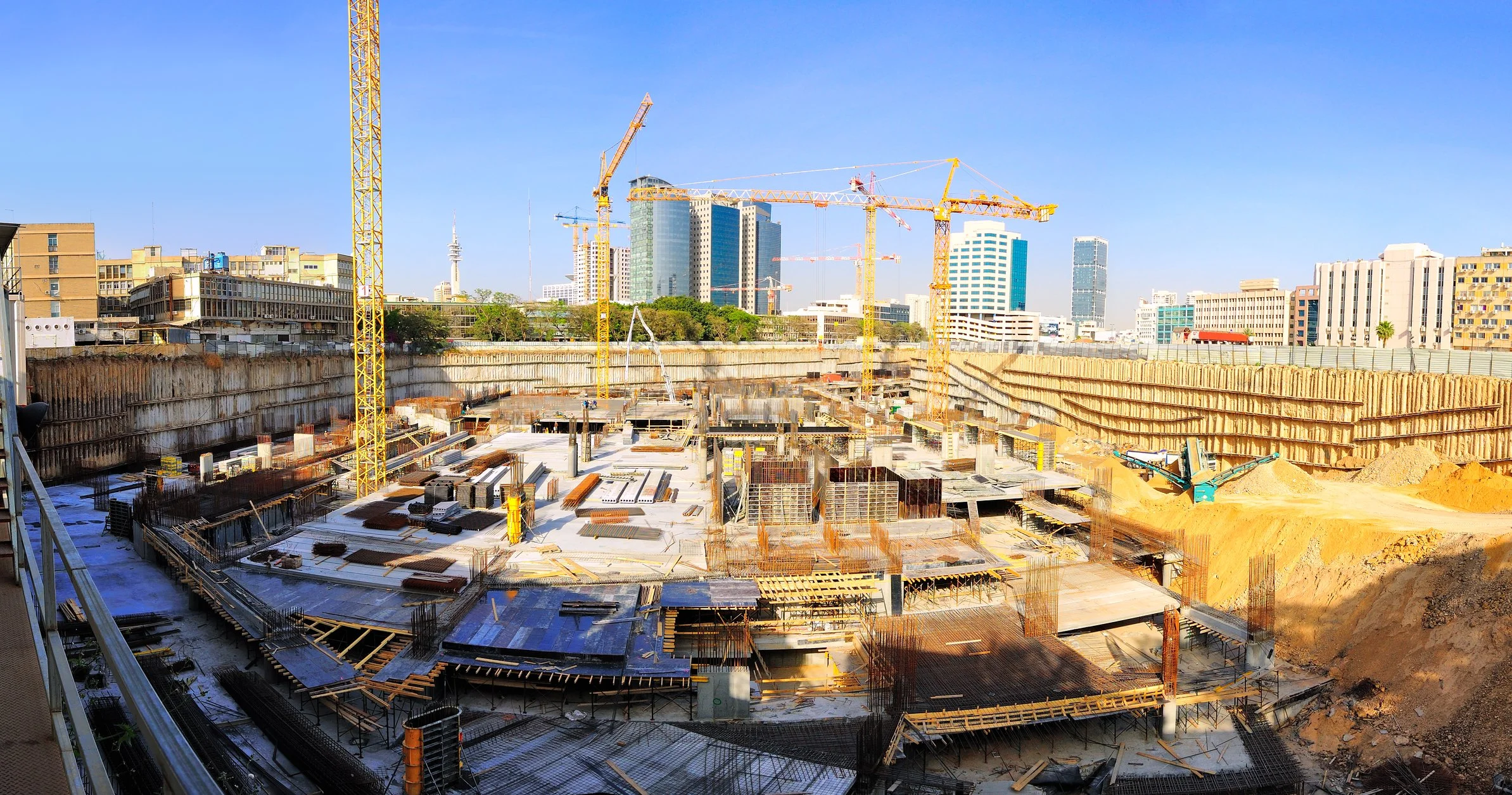
Site Selection
Determine existing surface motion during site selection processes. Support the design and the optimisation of the ground instrumentation network.
SkyGeo provides unique support in reconstructing past ground motion patterns, which could potentially affect constructions.
Using a historical archive of satellite imagery, SkyGeo can identify unstable areas prior to construction and reconstruct their displacement to assist in the planning of new sites.
Monitoring with satellite data minimises survey time and cost compared to traditional measurement techniques.

Development
Monitor impact of construction activities on nearby buildings and infrastructure.
Complement traditional monitoring by extending motion measurements to a wider area.
Solve model uncertainty. The density and precision of measurements can be used to verify model predictions of ground displacement.
By mapping the evolution of ground displacement during construction, engineers can better understand the relationship between activities and the onset of any related settlement.
SkyGeo offers thousands of measurement points over large areas, at a fraction of the cost of traditional monitoring.
It also increases displacement information beyond excavation surroundings, to determine the extent of any displacement occurring within a wider area.

Maintenance
Assess the stability of assets over time to monitor that displacement remains within design parameters.
Control impact on assets of displacement occurring in adjacent areas.
Regular monitoring of post-construction displacement can identify structural weaknesses.
Identifying motion that could indicate a structural weakness helps engineers to determine if actions should be taken.
Moreover, InSAR Monitoring provides displacement maps to assess areas at risk.
Frequently Asked Questions
-
InSAR provides wide-area, time‑series visibility of surface deformation across an entire mine site—including pits, dumps, and tailings facilities. When interpreted correctly, it helps identify where movement is changing over time so teams can prioritise inspection, monitoring resources, and mitigation planning.
-
InSAR can help characterise and quantify deformation trends across TSFs and surrounding ground, supporting early awareness and prioritisation. Because TSFs are high‑consequence assets, results should be interpreted by specialists and integrated with site monitoring and geotechnical context to support safe decisions.
-
Early warning means identifying abnormal movement patterns or changes in trend early enough to trigger closer review or additional on‑site investigation. Practical early warning depends on a site‑specific framework: baselines, thresholds, and expert interpretation—not a single universal number or map.
-
Data-only outputs can be easy to misread, especially in complex mine environments. SkyGeo combines InSAR data with geotechnical domain expertise, quality controls, and interpretation workflows to translate measurements into clear, risk‑aware insight that supports decisions and safe operations.
-
Satellite monitoring supports TSF safety programmes by providing consistent, independent observations of deformation patterns over time. It helps demonstrate due diligence, supports audit trails, and can highlight trends that warrant closer investigation. Importantly, TSF risk management depends on interpretation—understanding what movement is expected, what is abnormal, and how change relates to site conditions and operational actions. Satellite monitoring is most effective when it sits within a governance framework: thresholds, responsibilities, validation steps, and clear escalation pathways.
-
Satellite monitoring can identify deformation trends that may indicate changing conditions, but it should not be treated as a simple ‘failure prediction’ tool. Tailings failures are complex and often depend on multiple interacting factors. The responsible use of satellite data is as an early-warning and screening layer: detect change, assess trend behaviour and uncertainty, then investigate with engineering judgement and complementary monitoring. Overconfidence in raw data outputs can be dangerous; decision-grade insight requires expert validation and context.
-
Typical parameters include displacement over time (time-series), velocity (rate of movement), acceleration (change in rate), and spatial patterns such as differential movement across the structure and its surroundings. Context matters: movement direction relative to the dam geometry, correlation with operational changes, and consistency across measurement points. Monitoring programmes also track uncertainty and data quality so interpretation remains reliable. The aim is not to ‘collect points’, but to detect meaningful change early and support clear escalation decisions.
Let Us Know How We Can Help You
info@skygeo.com