

THE INSAR INTELLIGENCE PLATFORM FOR CIVIL ENGINEERING
OUR CIVIL ENGINEERING CLIENTS

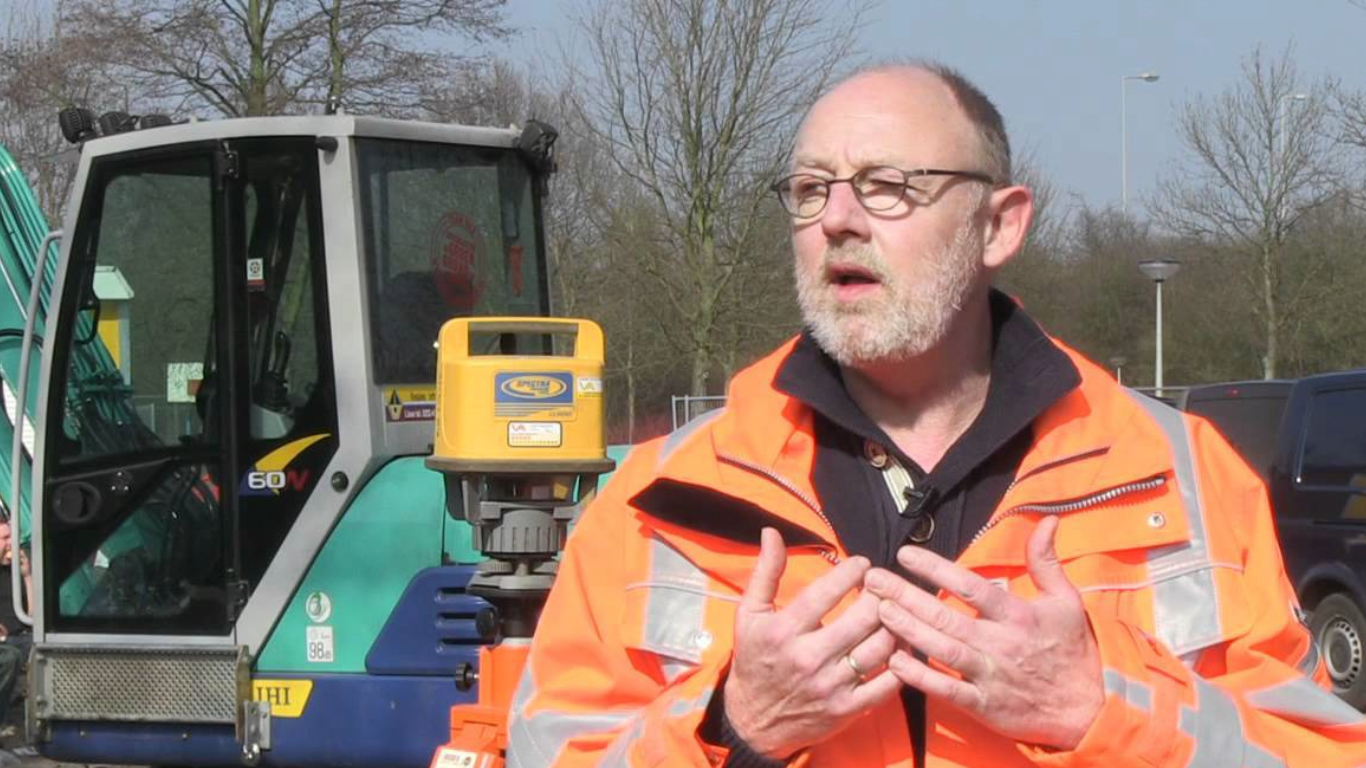
InSAR Monitoring for civil engineering projects
Let SkyGeo configure an InSAR Monitoring solution for you – with millimeter accuracy, up to 25 years back in time and 100,000’s measurement points per km², each with a graph of displacement over time. SkyGeo data is often the best predictor for mean time before failure of the assets. Risk management practitioners use this for predictive maintenance.
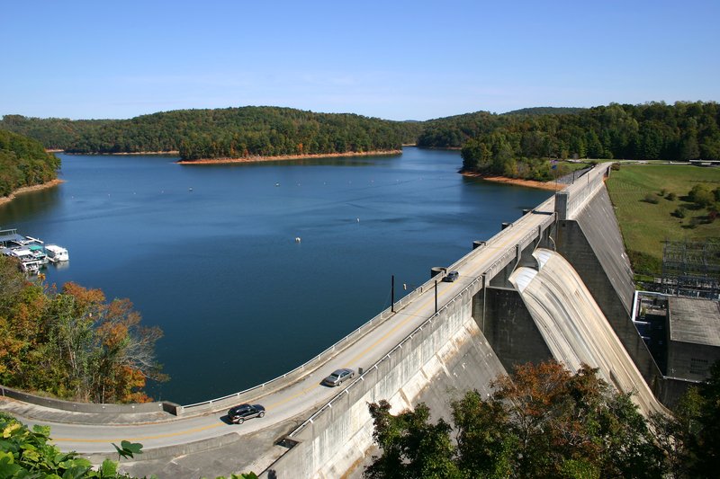
Site Selection
Determine existing surface motion during site selection processes. Support the design and the optimisation of the ground instrumentation network.
SkyGeo provides unique support in reconstructing past ground motion patterns, which could potentially affect constructions.
Using a historical archive of satellite imagery, SkyGeo can identify unstable areas prior to construction and reconstruct their displacement to assist in the planning of new sites.
Monitoring with satellite data minimises survey time and cost compared to traditional measurement techniques.

Development
Monitor impact of construction activities on nearby buildings and infrastructure.
Complement traditional monitoring by extending motion measurements to a wider area.
Solve model uncertainty. The density and precision of measurements can be used to verify model predictions of ground displacement.
By mapping the evolution of ground displacement during construction, engineers can better understand the relationship between activities and the onset of any related settlement.
SkyGeo offers thousands of measurement points over large areas, at a fraction of the cost of traditional monitoring.
It also increases displacement information beyond excavation surroundings, to determine the extent of any displacement occurring within a wider area.
Maintenance
Assess the stability of assets over time to monitor that displacement remains within design parameters.
Control impact on assets of displacement occurring in adjacent areas.
Regular monitoring of post-construction displacement can identify structural weaknesses.
Identifying motion that could indicate a structural weakness helps engineers to determine if actions should be taken.
Moreover, InSAR Monitoring provides displacement maps to assess areas at risk.
Case Studies
-
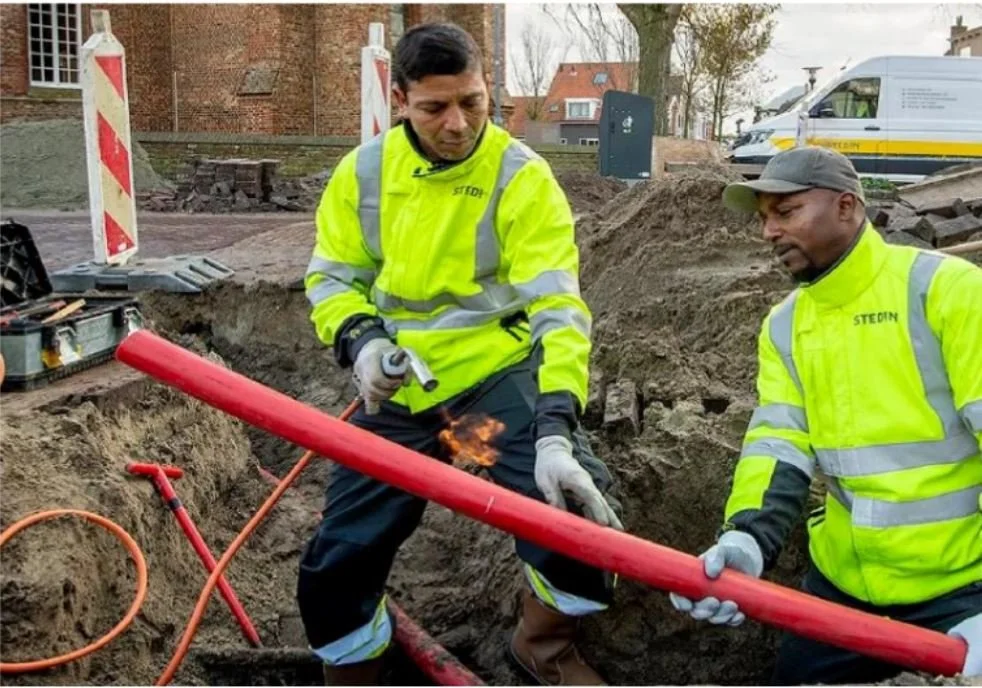
Stedin NV
By implementing our risk assessment experience, Stedin NV can now target only the service lines that are truly at risk, reducing costly investment and optimizing their maintenance workflow.
-
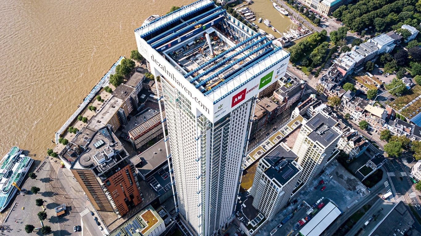
City of Rotterdam
We can help cities everywhere to prevent damage before it happens, by using InSAR and analyzing these deformations with millimeter precision.
-
City of Diemen
“Problems we had for years with manual measurements were resolved at once.”
Frequently Asked Questions
-
InSAR can be applied to a wide range of infrastructure and the ground it depends on. It is especially useful where movement is gradual and distributed across an area. SkyGeo supports roads, rail, utilities, pipelines, buildings, embankments, ports, and other infrastructure affected by settlement or structural movement.
-
Time-series deformation trends can support proactive maintenance planning by highlighting where movement is accelerating or spreading. This helps teams prioritise inspections, allocate budgets, and reduce the chance of costly surprises.
-
Often yes, but interpretation requires care because buildings, vegetation, and construction activity can affect signal quality. A reliable approach includes quality controls and expert interpretation to avoid incorrect conclusions.
-
Historical InSAR shows whether movement is new, seasonal, persistent, or long-running. SkyGeo uses that time depth to support better decisions on site selection, design assumptions, construction impact, and long-term maintenance planning.
Let Us Know How We Can Help You
info@skygeo.com