THE GROUND MOVES 24/7
DETERMINE WITH INSAR WHICH MOVEMENT MATTERS
Transform your geotechnical and geological risk management through InSAR assessment.
Quantify and understand meaningful ground deformation patterns early.
Accelerate InSAR Adoption
-
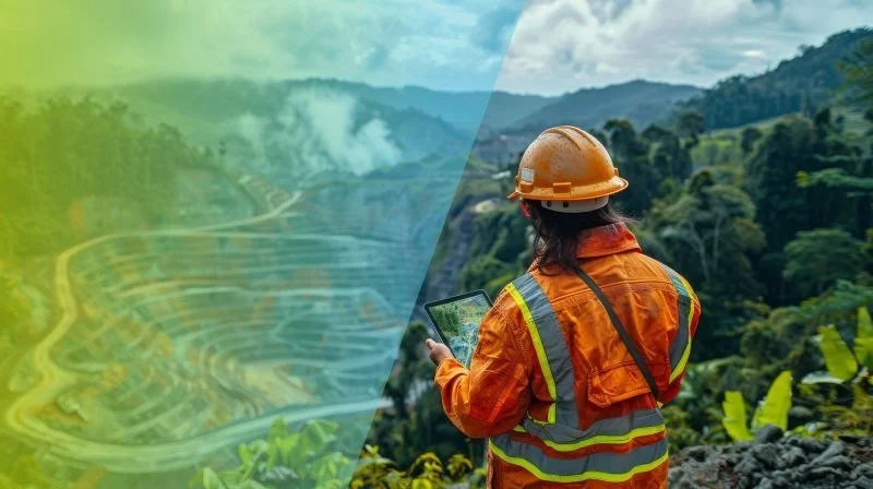
Mining
Learn how SkyGeo works with leading mining companies to ensure tailings and pit wall stability, keeping mines productive, safe and in environmental compliance.
-
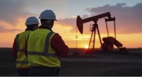
Energy
SkyGeo works as a companion with geoscientists, reservoir engineers and geomatics experts, to do the InSAR data processing correctly, so the InSAR data is accurate for inversion
-

Civil Engineering
SkyGeo provides early detection of structural issues. Learn how we work with geotechnical and civil engineers to improve cost controls and safety by optimizing maintenance scheduling.
Why InSAR:
A proven but underutilized source of geotechincal and geoscientific insights
Millimeter Accuracy
Time series show how objects have moved since the previous measurement. Compare measurements on millimeter-scale.

Constant updates
Your data can be calculated as often as satellites acquire an image, semi-daily, or as often as you need for your business.

High Density
Our maps contain up to 100,000 measurements per km2 over large areas. A quantum leap in effectiveness compared to conventional levelling campaigns.

Decades of data
Over many areas you can access data going back to 1992 to assess long term motion of individual objects and the areas around it.

Global Reach
We monitor all types of assets, whatever their size and wherever they are in the world.
Leverage InSAR as a starting point to discover patterns in the ground motion.
SkyGeo is the world’s only InSAR optimization & assessment platform
-

Transparent InSAR Algorithms
Based on our interferometric processing algorithms, our engineers deliver the most reliable InSAR estimations.
InSAR is complex and can only be done right with your input. We have written and QA’ed every line of code so we know how we do the InSAR math.
-
Complete Visualisation Toolbox
The InSAR data is the starting point: visualization triggers iterative optimization of the InSAR to characterize how your asset is changing.
See the InSAR data in context, as a diagnostics team.
-

Intuitive Platform for Assessment
In the online platform you can easily scan through the very large InSAR and related data sets.
Our technology can search our global database of slow motions to benchmark your engineering monitoring strategy.
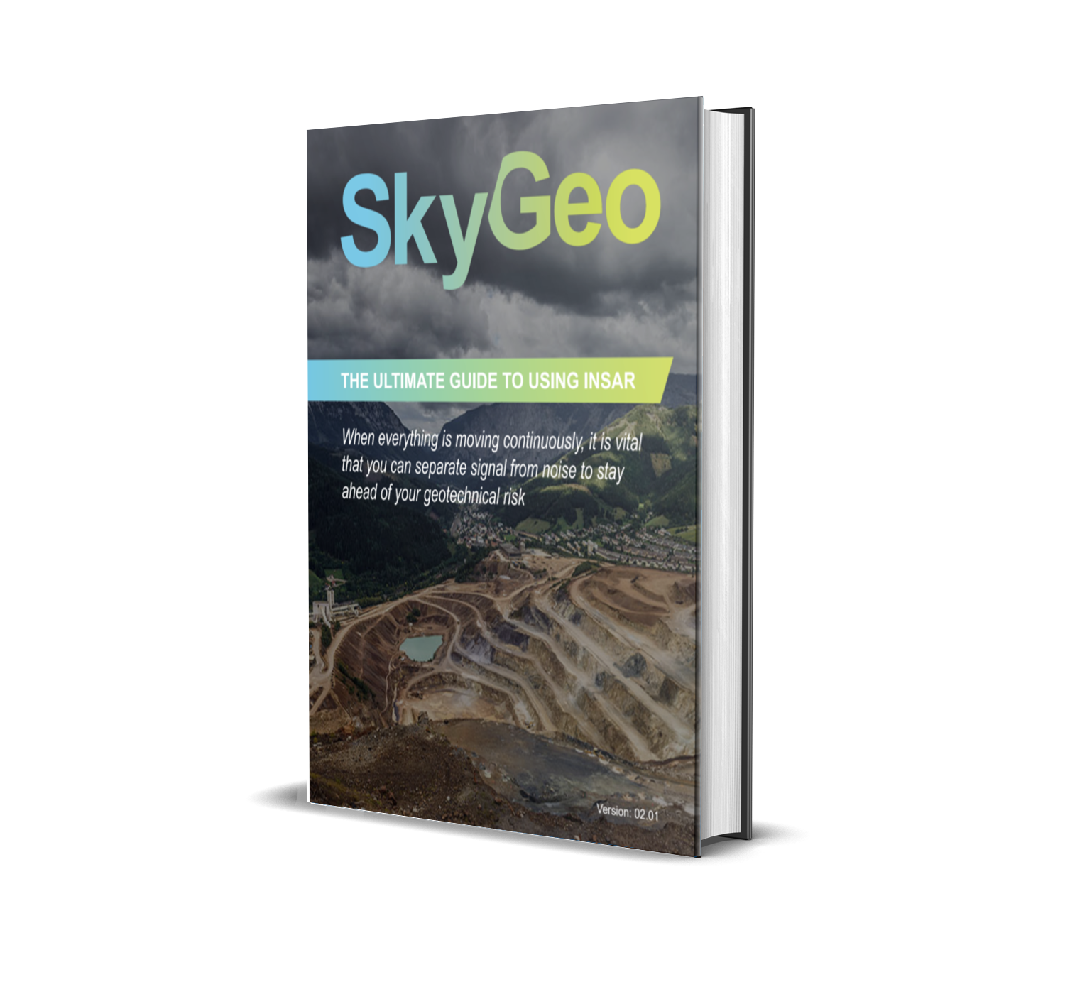
Download The Ultimate Guide to Using InSAR
When everything is moving continuously, it is vital that you can separate signal from noise to stay ahead of your geotechnical risk.
Our free-to-download Ultimate Guide to Using InSAR will walk you through the application of this complicated technique and highlight the ‘SkyGeo Difference’.
Complete the form below to download the guide instantly: