
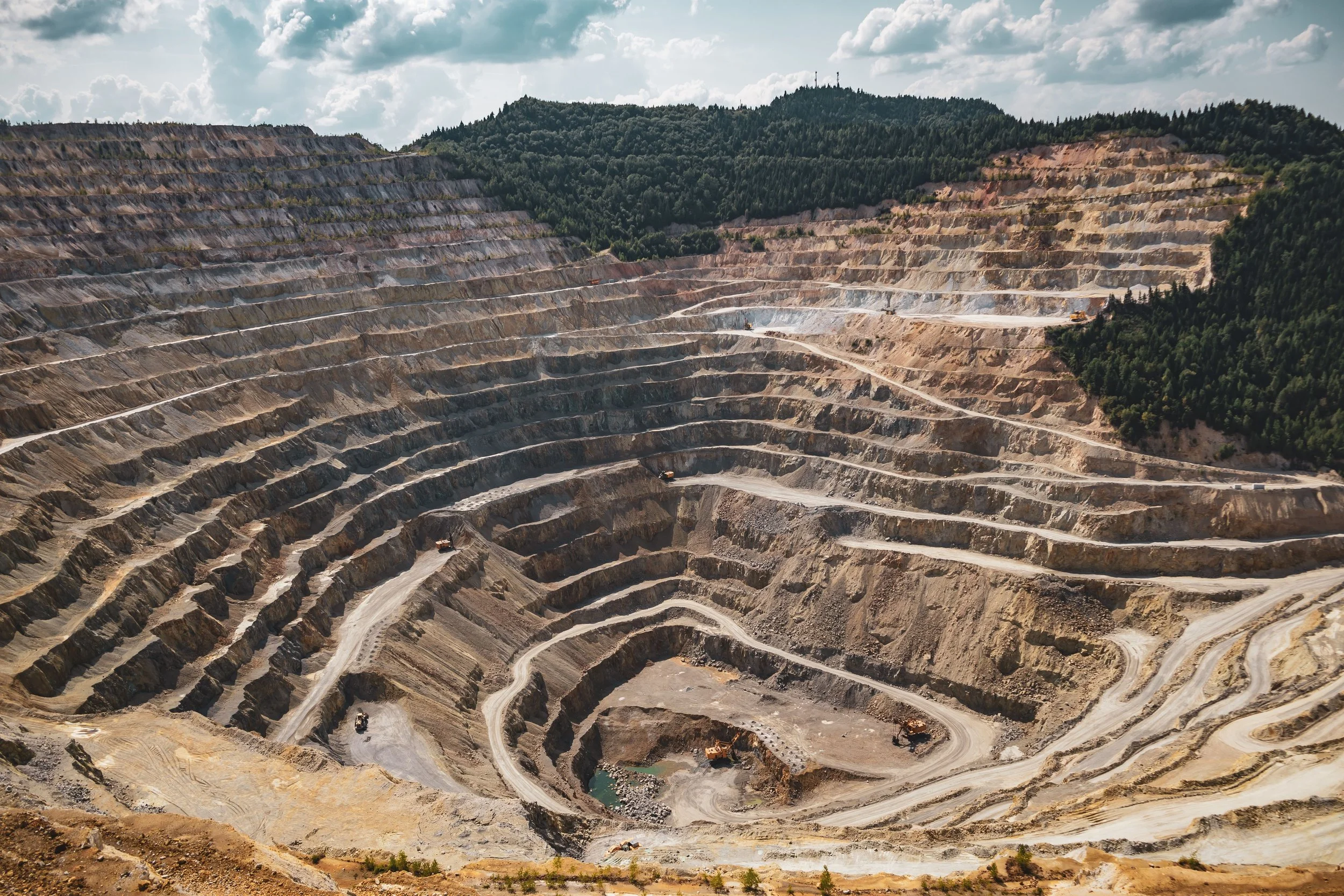
INTELLIGENCE FOR EARLY SLOPE STABILITY ASSESSMENT
Separate relevant deformation from the immense amount of movement across a mine, then direct field review where it matters.
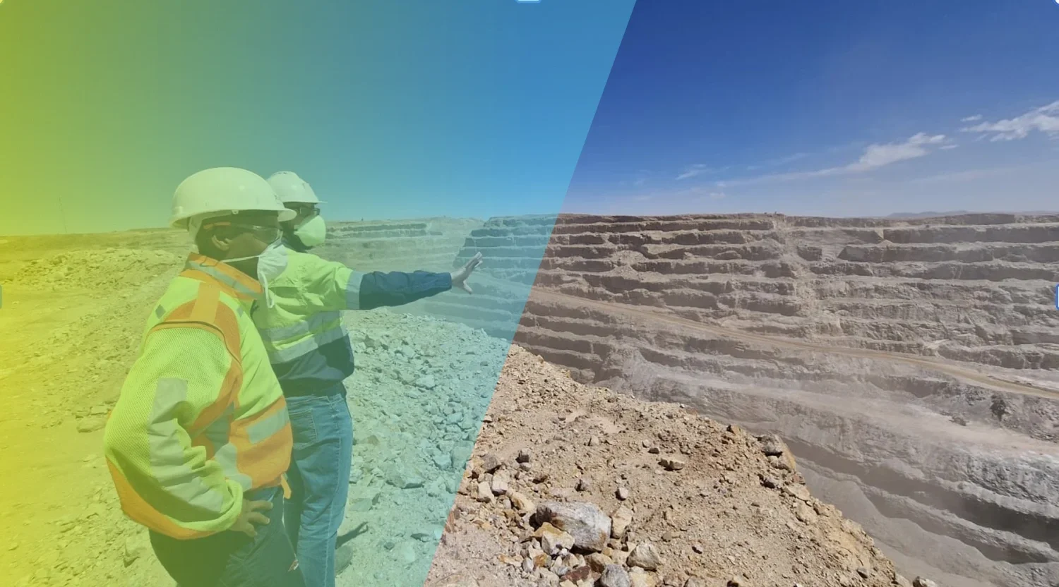
A traffic light system for slope stability across site
In stability evaluation of pits, dumps, piles and landfills, as well as high-rise or mine slopes, we consider geology, groundwater levels, soil conditions, and other geotechnical influences.
These factors combine to influence both the InSAR measurements and the risk. Evolving insights. We are building a library of relevant deformation patterns.
For many customers, we translate the deformation patterns over different parts of the mine into a 3-, or 4-stage "traffic light" warning system.
For most of these, we display very high resolution maps from two different lines of sight, showing different parts of the mine. These contour maps differ from our time-series products.
Contact our specialists to learn more about the relative merits of both products and how they can help uncover various stability issues.
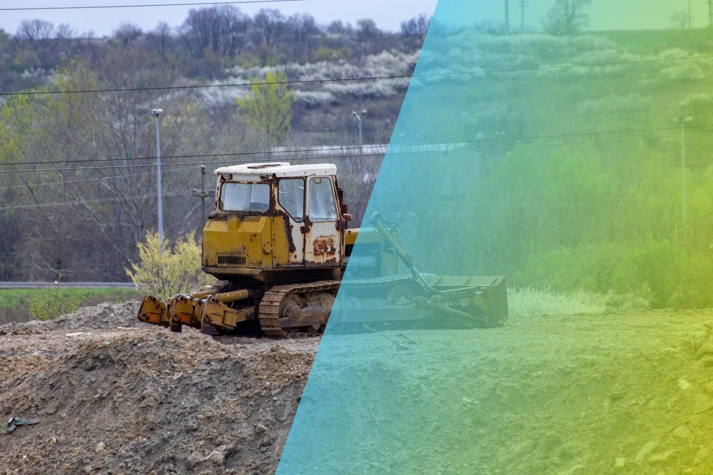
At a glance
SkyGeo helps mining geotechnical engineers separate deformation that may be relevant to a mechanism from widespread movement, noise and processing artifacts. The useful output is not the largest possible point count; it is a validated time-series pattern interpreted with geology, mine activity, geometry and existing monitoring to focus specialist review.
A large mine can produce millions of deformation measurements. It can also produce seasonal signals, surface changes, processing artifacts and movement that has no bearing on the mechanism under review. SkyGeo works with geotechnical engineers to refine the processing, interrogate the time series and relate the observed pattern to geology, geometry, mine activity and existing monitoring.
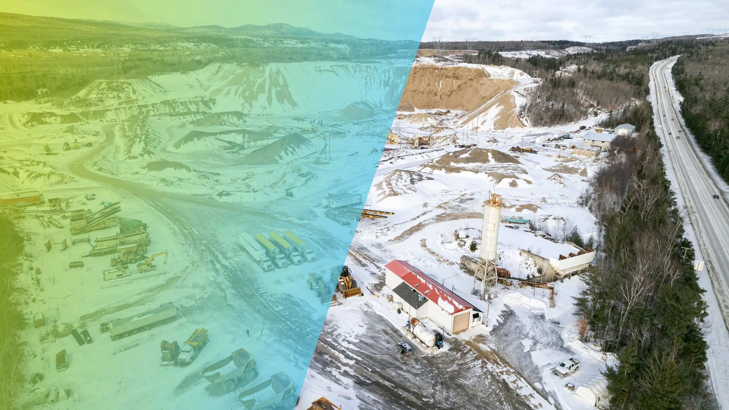
Everything moving is not everything important
A velocity map encourages fast conclusions. Geotechnical review needs the footprint, direction, time history, uncertainty and relationship to known structures or operational changes. We help remove irrelevant noise and organize the evidence around the failure modes or behaviors the site team is considering.

Use the mine's knowledge
No remote analyst knows the site as well as the engineers working it. Bench development, blasting, dumping, rainfall, drainage, material properties and instrumentation can all affect interpretation. SkyGeo provides InSAR expertise; the mine provides the mechanism and operational context. The analysis improves through that exchange.
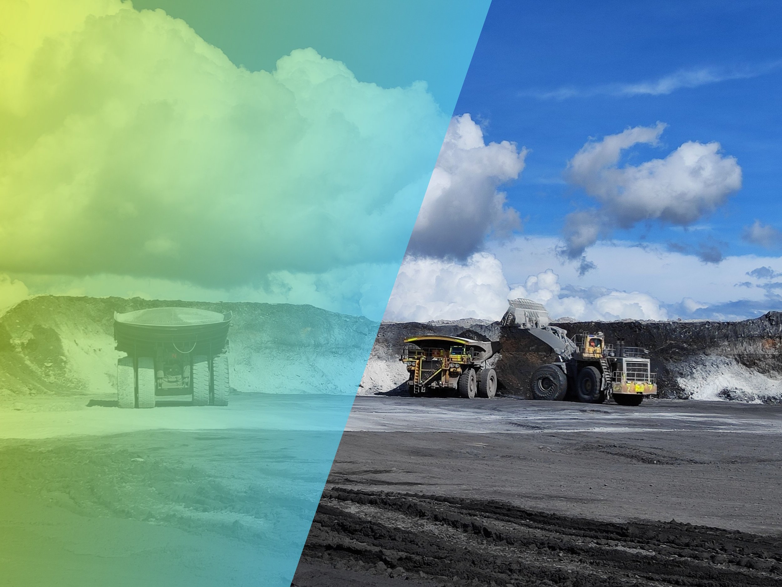
Waste dumps
Waste dumps grow, load and change shape continuously, so some movement is expected. InSAR helps separate settlement of fresh material from deformation that may point to a developing mechanism, such as toe bulging, crest cracking or creep on a weak foundation. Tracking each lift over time shows where field inspection, radar review or additional instrumentation should be concentrated as dumping advances.
Prioritize confirmation
InSAR is strongest as a broad, repeatable evidence layer. It can help identify where field inspection, radar review, prism analysis, GNSS or additional instrumentation should be concentrated. The objective is a better allocation of geotechnical attention, not a claim that satellite monitoring replaces local systems.
Typical use cases
-
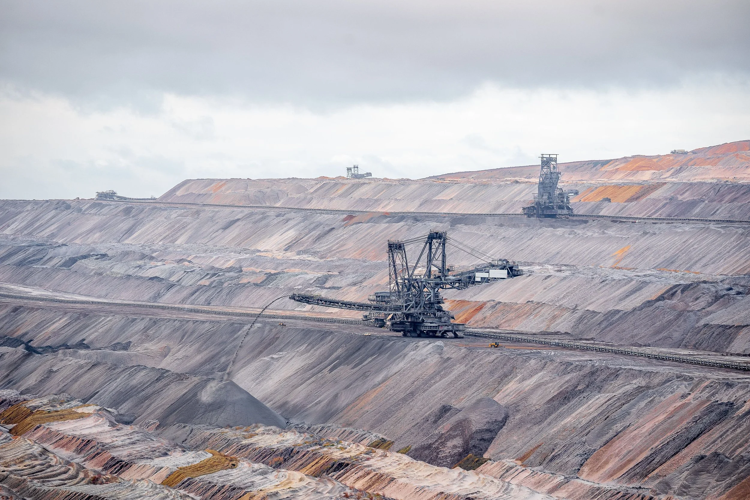
Pit slope review
Examine whether a spatially coherent pattern is developing beyond, between or before existing monitoring points.
-
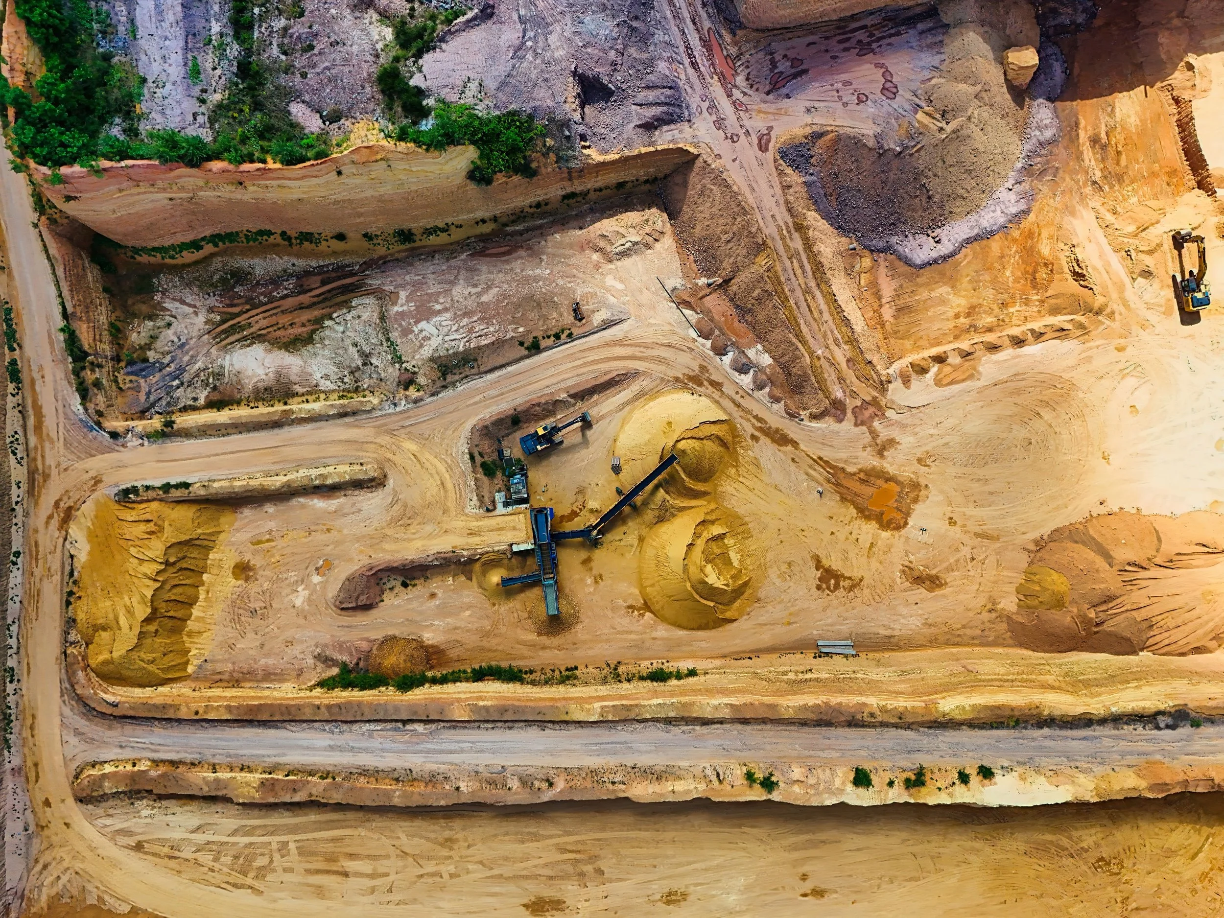
Waste dump behavior
Track broad and differential movement across dumps, foundations and adjacent terrain.
-

Site-wide triage
Compare change across multiple geotechnical domains and select the areas requiring detailed specialist review.
Our Mining Clients

















Frequently Asked Questions
-
Look for a spatially coherent footprint and a time history that persists or changes in a way that can be compared with a plausible mechanism. Then test the pattern against geology, geometry, operations and data quality before committing field resources.
-
Align the timing and location of site activity with changes in the deformation record and consider whether the relationship is consistent across the affected area. Correlation helps frame a mechanism to test; it does not establish causation on its own.
-
Higher point density can also introduce more irrelevant movement or processing noise. The useful dataset is the one that preserves enough quality and spatial context to distinguish the pattern associated with the mechanism under review, rather than maximising the number of coloured points.
Discuss geotechnical monitoring
info@skygeo.com