
Sentinel-1D Launches
The Copernicus Sentinel-1D radar satellite is now in orbit, restoring short-interval coverage for C-band InSAR and strengthening the foundation of SkyGeo’s global deformation monitoring services. Its successful launch secures long-term continuity for the Sentinel-1 mission and the wider Copernicus radar record.
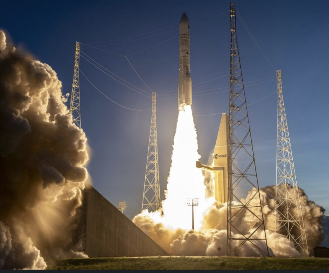
Copernicus Sentinel-1D radar satellite launches.
Launched by an Ariane 6 rocket at 22:02 CET into a sun-synchronous orbit at roughly 693 km, Sentinel-1D joins Sentinel-1A and Sentinel-1C to re-establish a six-day revisit cycle for the constellation. For operators in mining, energy and infrastructure, that cadence matters: a regular, predictable stream of acquisitions enables denser InSAR time series and more robust detection of millimetre-scale ground motion over wide areas, in all weather and daylight conditions.
Sentinel-1D carries a C-SAR instrument with a 12-metre antenna designed for high-precision interferometry, adding fresh capacity to the fleet and helping to secure C-band imaging well into the next decade. ESA’s operations teams have prepared the mission using a streamlined simulation campaign that builds directly on their recent work with Sentinel-1C, a set-up expected to shorten the path from launch to routine data delivery compared with earlier Sentinels.
For SkyGeo customers, this translates into more stable acquisition windows, thicker stacks of usable scenes, and no changes to existing SkyGeo processing chains. Because SkyGeo’s Antares platform and InSAR workflows are already tuned for Sentinel-1D, incoming scenes will slot directly into established monitoring programmes. Decision-grade deformation time series will benefit from the additional observations, improving the reliability of early-warning thresholds and long-term trend analysis without disrupting ongoing geotechnical risk surveillance.
The impact will be felt across key use cases where SkyGeo already supports asset owners worldwide: tailings storage facility and pit wall stability in mining, subsidence and uplift around critical urban and civil infrastructure, ground motion along pipelines and other energy corridors, and rapid assessment of surface deformation after earthquakes, volcanic activity or flooding.