
SkyGeo Contributes InSAR Expertise at OpenGeoHub Foundation Summer School
SkyGeo contributed applied InSAR expertise at the recent OpenGeoHub Foundation Summer School, where colleagues Daan Molleman and Luca Arbuatti demonstrated how satellite-based deformation analysis is used in real-world environmental and societal applications.
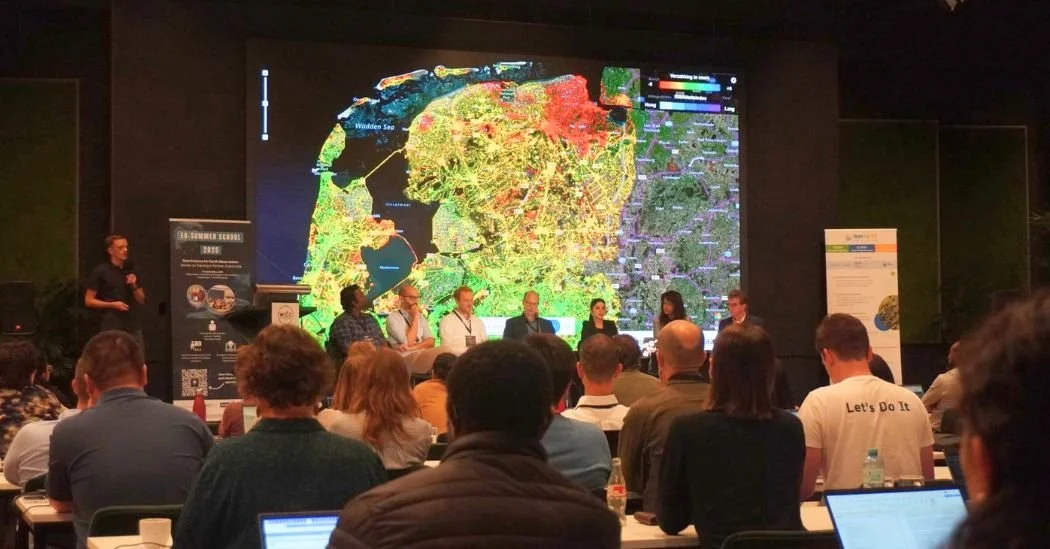
The programme brought together early-career researchers and practitioners to explore how satellite data, when combined with expert interpretation, supports decision-making in areas such as land subsidence, climate resilience, and infrastructure safety. SkyGeo’s contribution focused on translating academic methods into operational monitoring and risk management.
We thank the Netherlands Space Office and the OpenGeoHub Foundation for fostering collaboration between research and practice.