
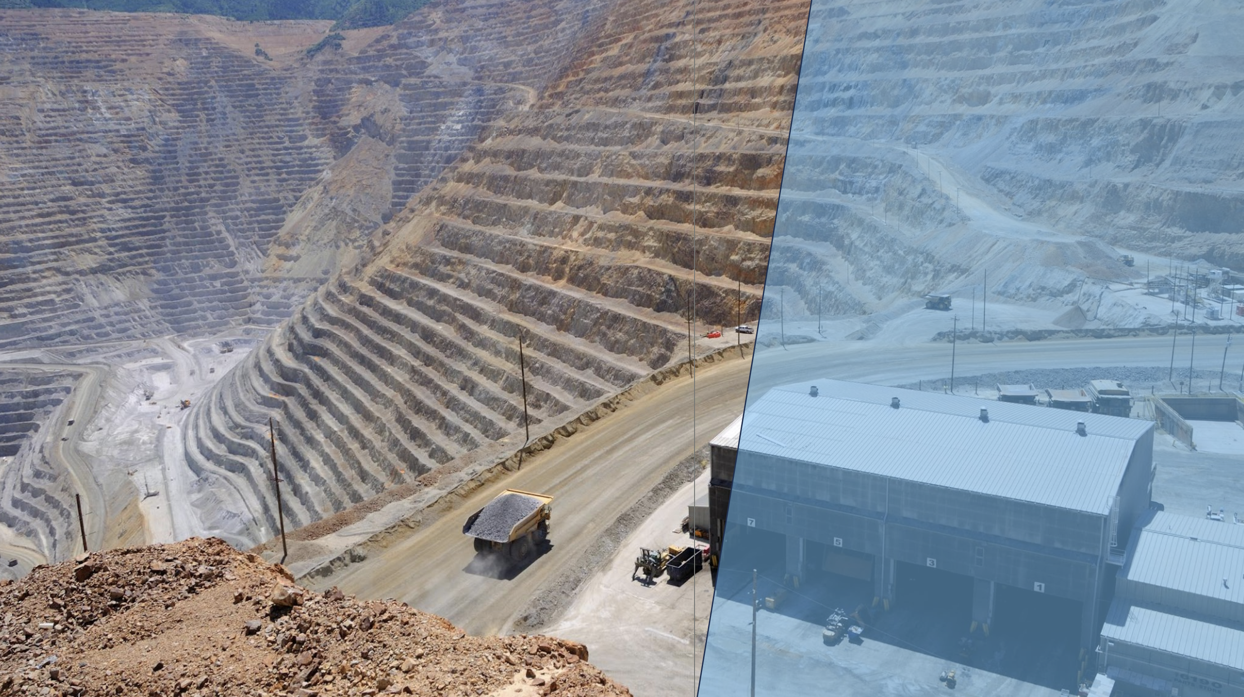
BRUNEI SHELL PETROLEUM CASE STUDY
INSAR FOR ONSHORE AND OFFSHORE BRINGS FULL STABILITY MONITORING FOR WELLS, RESERVOIRS AND FACILITIES
Brunei Shell Petroleum (BSP) Geomatics has worked with SkyGeo in delivering and implementing InSAR data as an operational tool for business users since 2014.
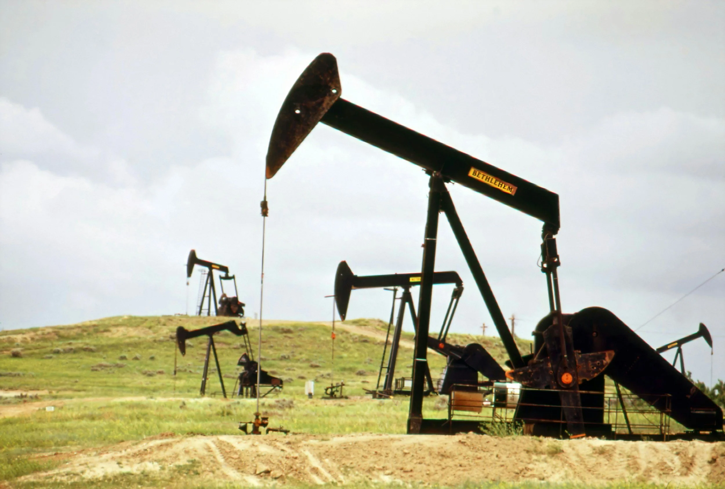
INITIAL NEED: AIR GAP
The initial goal of the work was to establish the rate at which the air gap of the platforms goes down over time. Once the airgap becomes too small, major reconstruciton is needed on a patform.
Previously, the calibration was done with offshore GPS on 4 representative platforms. However, the GPS approach had very high installation cost, and moreover suffered from very high attrition rates so it was uneconomic for use on all platforms.
With InSAR we remotely characterized stability of all offshore platforms inside 3 frames of very high resolution TerraSAR-X images.
OFFSHORE INSAR AND GPS
For this to work, we successfully addressed the main interferometric processing challenge over water which is the loss of correlation of the InSAR network, especially over longer arc lengths. For this difficult technical challenge, we had to thoroughly understand every line of code and optimize the SkyGeo processing chain.
For verification, we had to harmonize our data with the noisy time series from the remaining two offshore GPS stations.
After several rounds of validation, BSP Geomatics approved use of InSAR as the tool of record to measure platform stability, introducing a new era of monitoring all platforms. At the same time the capex was maintained at the existing level.
WELLBORE INTEGRITY
In related onshore work, we supported investigation of a wellbore with anomalous local deformation. We referenced against historical leveling data observing some real discrepancies.
From carefully observing the patterns against our InSAR results, we were able to conclude that the reference point of the conventional leveling measurements had been moving by several centimeters over the course of the observation period.
We perform our enhanced QA process on all images and products. We log and document all of our processing steps and intermediate results, working in full compliance with the Geomatics Technical Specification Document number TS-015 rev. 3: “InSAR Geodetic Deformation Monitoring”.
“With SkyGeo, we deliver much better platform position monitoring at global scale. This is an essential complement to our legacy GPS measurements.”
Maarten Bomers, Director of Geomatics, BSP
GEOMECHANICS TEAM DEPLOYS INSAR FOR FEEDBACK ON RESERVOIR DEPLETION STRATEGIES
More users discovered how to use InSAR in the following years. We have been working directly with the geomechanics team on all of the large offshore fields to help them constrain their geomechanical model.
The platforms now serve as sampling of the subsidence and heave happening on the seafloor as a result of reservoir compaction, often compartmentalized.
This validated model predictions / data packages were then provided specifically to support reservoir engineering in production decisions for accelerated production and depressurization.
INSAR ACADEMY
To support a BSP policy of knowledge transfer, and to enhance the use of the dataset in the business, Geomatics has hosted multi-day InSAR Academy three times with a variety of internal users. We did on-site training twice and remote once. Ongoing remote training semi-annually of BSP staff is part of the ever-expanding adoption of InSAR in the business.
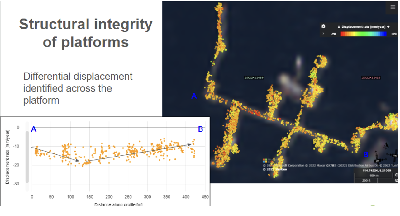
Example of TSX-derived InSAR deformation map of a platform. Used for assessing air gap and structural integrity. Inset: length section of cumulative reduction of the air gap. We can sample this over a wider area and across a large population of > 100 platforms.
Details
Industry: Energy
Use Case: Wells, Reservoirs and Facilities
Product: Offshore PSI, verification and validation, inversion
Story contents
INITIAL NEED: AIR GAP
OFFSHORE INSAR AND GPS
WELLBORE INTEGRITY
GEOMECHANICS TEAM DEPLOYS INSAR FOR FEEDBACK ON RESERVOIR DEPLETION STRATEGIES
INSAR ACADEMY

Example of TSX-derived InSAR deformation map over multiple offshore platforms to assess rates of reservoir compaction and validate geomechanical models of depressurization.
Oil & Gas Case Studies
-
Berry Petroleum
Using high frequency InSAR monitoring, Berry Petroleum can identify subsidence and uplift patterns across its fields, allowing engineers to fine-tune injection strategies and reduce the risk of well damage and environmental incidents.
-
NAM
Through long-term InSAR monitoring across the Groningen region, NAM gains detailed insights into subsidence and reservoir behaviour, supporting seismic risk assessment and regulatory reporting.


Frequently Asked Questions
-
InSAR can remotely measure millimetre-scale ground or structural movement across large offshore areas using satellite radar data. This makes it possible to monitor multiple platforms simultaneously without installing equipment on each structure. For offshore assets where GPS sensors are expensive or difficult to maintain, satellite monitoring provides a cost-effective way to track subsidence and detect changes that may affect structural integrity.
-
InSAR measurements are routinely validated against ground-based instruments such as GPS and levelling data. In many projects, the deformation patterns measured by satellite correlate closely with GPS measurements, providing confidence in the results while covering a much larger area at lower cost.
-
Deformation monitoring provides insight into how subsidence or surface changes may affect offshore facilities. These insights can be used to improve geomechanical models, guide infrastructure upgrades, and support reservoir engineering decisions related to production planning.