
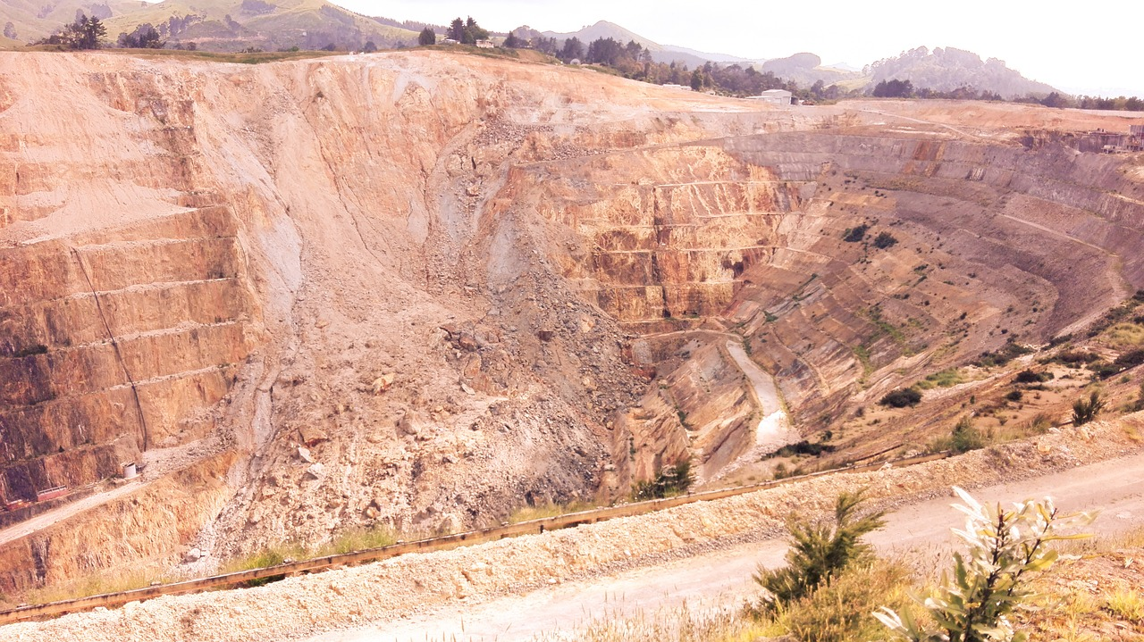
7 Reasons why InSAR Data Interpretation Improves Tailings Management

1. Early Detection of Land Deformation
InSAR technology offers millimeter-level accuracy in detecting land deformation, enabling mining companies to identify potential instabilities in tailings dams before they escalate into significant risks.
This sophisticated technique utilizes radar signals from satellites to monitor changes in ground movement over time, providing invaluable insights into the structural integrity of these critical retaining structures. By integrating InSAR data with geological surveys and engineering assessments, mining operations can enhance their risk management strategies, ensuring that any emerging issues are addressed promptly. This proactive approach not only safeguards the environment but also protects local communities from the potential hazards associated with tailings dam failures, promoting sustainable practices within the mining industry.
2. Wide-Area Coverage
As a satellite-based system, InSAR provides continuous monitoring over extensive areas. Unlike ground-based methods, it can observe vast tailings regions, ensuring comprehensive surveillance of the dam and surrounding land.
3. Continuous Monitoring
InSAR delivers real-time data, allowing for immediate detection of changes in tailings stability that is crucial for effective risk management in mining operations. This advanced technology enables the identification of subtle shifts that might otherwise go unnoticed, significantly increasing the reliability of monitoring systems. This continuous monitoring facilitates prompt interventions when necessary, empowering operators to take corrective action swiftly and efficiently, which ultimately enhances overall safety. By integrating these insights into their operational protocols, mining companies can not only protect their assets but also ensure a safer environment for their workers and neighboring communities. Regular assessment and timely responses based on InSAR data can mitigate potential hazards, fostering a culture of safety and responsibility within the industry. MDPI
4. Non-Invasive and Cost-Effective
Utilizing satellite data, InSAR eliminates the need for on-site installations, making it a non-invasive and cost-effective solution. Mining companies can reduce expenses associated with traditional monitoring setups while achieving superior accuracy .
5. Compliance with Environmental Regulations
InSAR supports environmental compliance by providing verifiable data on tailings management, which is crucial for the mining industry in order to maintain responsible practices. Regulatory bodies increasingly require detailed reporting, and InSAR’s data demonstrates proactive measures to prevent disasters, ensuring that companies can monitor their environmental impact effectively. With the advent of advanced satellite technology, InSAR offers comprehensive insights into ground movements and structural integrity, enabling timely interventions. At SkyGeo, we do not only deliver you the Data, but we interpretate it and tell you what to do with it. This not only enhances public safety but also fosters trust among stakeholders and communities affected by mining operations. The use of InSAR technology not only helps in adhering to regulations but also contributes to long-term sustainability goals.
6. Mitigating Catastrophic Failures
Tailings dam failures can be devastating. InSAR technology allows for the early identification of risks that could lead to such events, providing mining companies with critical time to stabilize at-risk areas and prevent environmental and financial disasters.
7. Integration with IoT for Enhanced Monitoring
InSAR, in combination with IoT-based geotechnical sensors, provides a comprehensive framework for monitoring tailings dam stability by integrating satellite and ground-level data. This approach helps mining operations mitigate risks of structural failures, enhances safety measures, ensures regulatory compliance, and supports informed decision-making with continuous reliable information.
Conclusion
Integrating InSAR technology into tailings management offers significant advantages, but the true value emerges when this data is expertly interpreted and applied. At SkyGeo, we specialize in transforming complex InSAR data into actionable insights, enabling mining companies to proactively address potential issues. Our team of geotechnical experts collaborates closely with clients to analyze deformation patterns, assess structural integrity, and recommend targeted interventions, ensuring that monitoring efforts translate into effective risk mitigation strategies.
Moreover, SkyGeo's comprehensive approach combines InSAR data with other monitoring technologies, such as IoT-based geotechnical sensors, to provide a holistic view of tailings dam stability. This integration allows for real-time monitoring and a deeper understanding of subsurface conditions, empowering mining operations to make informed decisions that enhance safety and compliance. By partnering with SkyGeo, companies gain access to a robust platform that not only detects potential hazards but also guides them in implementing timely and appropriate responses, ultimately safeguarding both the environment and their assets.