
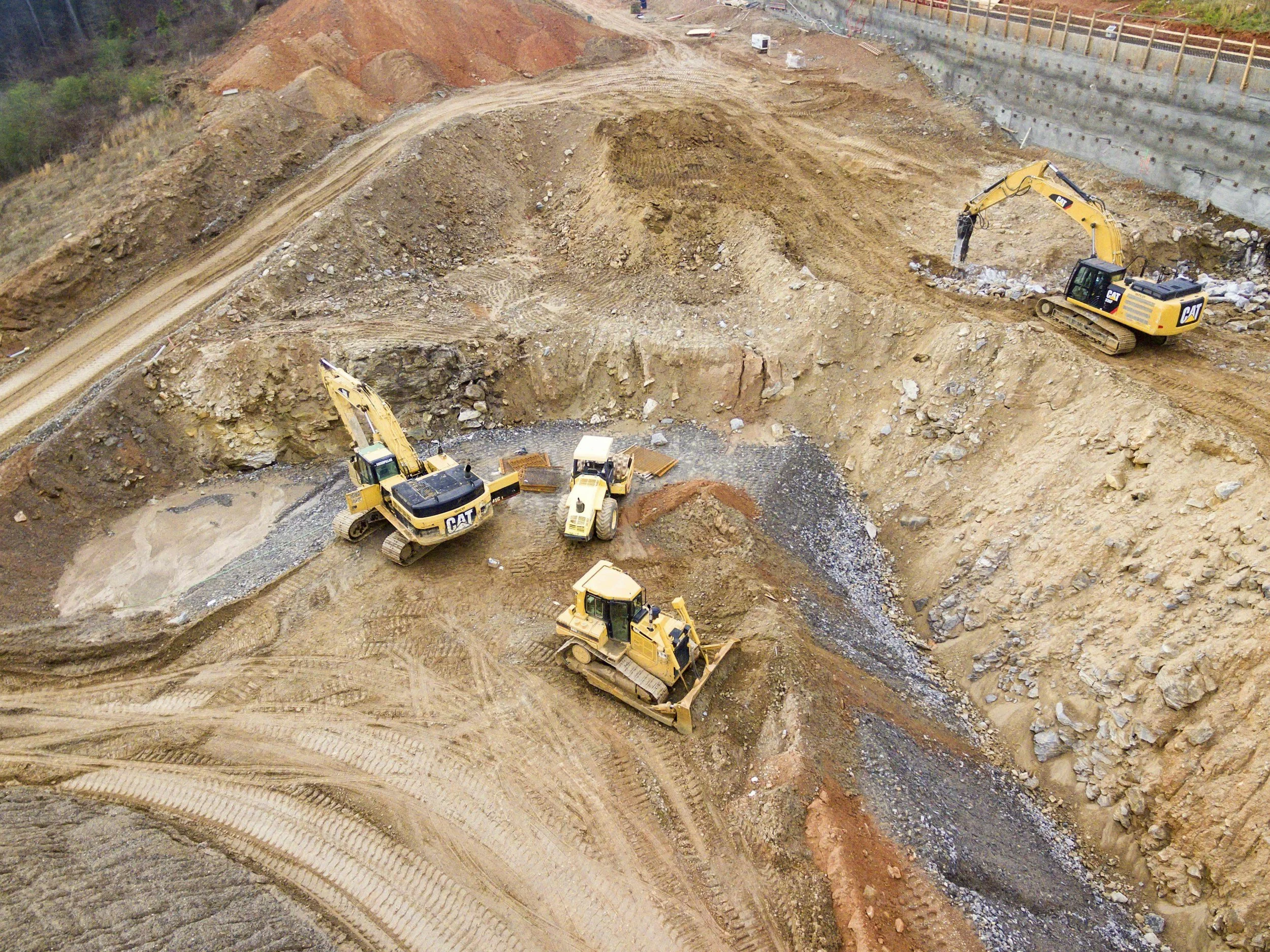
Ground movement matters long before an asset reaches old age. Existing deformation can influence site selection, construction assumptions, commissioning and how an owner plans maintenance after handover. InSAR can support every one of those stages with a single, consistent record of how the ground behaves.
Movement questions change across the life cycle
During route selection or design, archived InSAR data can flag locations that deserve extra ground investigation. During construction, a baseline separates trends that already existed from changes that happen during the works. Once the asset is operating, the same record informs inspection cycles, maintenance planning and renewal priorities.
These are different questions, so they deserve different monitoring plans. Coverage, reporting intervals and complementary instruments can change significantly between phases, and one evidence record can still serve every team.
Keep continuity through handover
Projects often lose useful information when the contractor hands over to the owner. Keep the coordinate reference system, measurement periods, data quality notes, site investigations and the decisions made from earlier observations.
A future asset manager needs to know not only where movement was measured, but which locations were excluded, when surfaces changed and which instruments supported the interpretation. Re-baselining after major works may be needed, and the pre-construction record should be preserved alongside it. Read our guide to establishing a pre-construction baseline for more detail.
Budget around decisions, not data volume
Rather than buying the largest possible monitoring area, identify the decisions you expect to make in each phase. An early design screen benefits from wide coverage and historical perspective. A sensitive construction interface may need instruments that report much more often. A mature asset may benefit most from periodic network screening.
This approach makes sure the reporting frequency and precision suit the decision, while keeping a consistent long-term understanding of ground behavior. Learn more about InSAR for civil engineering and infrastructure.
Frequently asked questions
-
Archived data shows whether a site or route has a history of settlement or uplift, which helps target ground investigations early.
-
Design assumptions, construction instrumentation and operational records.
-
Yes, with care. Archive coverage and reference geometry change over time, so analysts reconcile the datasets before comparing them.
-
It works better to define separate plans for design, construction and operation, linked by a shared record.
-
Choose an upcoming capital project where a pre-construction archive review could add value.
