0
Skip to Content
SkyGeo | Decision-Grade InSAR Ground-Motion Monitoring
InSAR: What is it and what is it for?
The SkyGeo InSAR Academy
InSAR Viewer
Glossary
FAQ
Permian Basin Subscription Service
Underground gas storage
Sustainability Leadership with InSAR
Predictive Maintenance in Civil Engineering
Energy
Mining
Civil Engineering
Customer cases
Blog
Ultimate guide to Using InSAR
Scientific Papers
Events
Leadership Team
News
Careers at SkyGeo
English
CONTACT US
SkyGeo | Decision-Grade InSAR Ground-Motion Monitoring
InSAR: What is it and what is it for?
The SkyGeo InSAR Academy
InSAR Viewer
Glossary
FAQ
Permian Basin Subscription Service
Underground gas storage
Sustainability Leadership with InSAR
Predictive Maintenance in Civil Engineering
Energy
Mining
Civil Engineering
Customer cases
Blog
Ultimate guide to Using InSAR
Scientific Papers
Events
Leadership Team
News
Careers at SkyGeo
English
CONTACT US
Folder: InSAR Products
Back
InSAR: What is it and what is it for?
The SkyGeo InSAR Academy
InSAR Viewer
Glossary
FAQ
Folder: InSAR Solutions
Back
Permian Basin Subscription Service
Underground gas storage
Sustainability Leadership with InSAR
Predictive Maintenance in Civil Engineering
Folder: Industries
Back
Energy
Mining
Civil Engineering
Folder: Customers
Back
Customer cases
Folder: Resources
Back
Blog
Ultimate guide to Using InSAR
Scientific Papers
Events
Folder: About SkyGeo
Back
Leadership Team
News
Careers at SkyGeo
English
Back
CONTACT US
Infrastructure Steve McLay 11/3/26 Infrastructure Steve McLay 11/3/26

Why satellite settlement data is easy to misinterpret during tunneling and construction

Common mistakes when using InSAR settlement data on tunneling and construction projects, from late baselines to roof points and alarm expectations.

Read More
Infrastructure Steve McLay 10/23/26 Infrastructure Steve McLay 10/23/26

How infrastructure owners can misinterpret InSAR settlement data

Common mistakes infrastructure owners make with InSAR settlement data, from point location to comparing datasets, and what decision-ready monitoring looks like.

Read More
Infrastructure Steve McLay 8/30/26 Infrastructure Steve McLay 8/30/26

Ground settlement at ports and reclaimed land: using InSAR for long-term oversight

How satellite InSAR supports long-term settlement monitoring at ports, terminals and reclaimed land, from baselines to inspection programs.

Read More
Infrastructure Steve McLay 8/23/26 Infrastructure Steve McLay 8/23/26

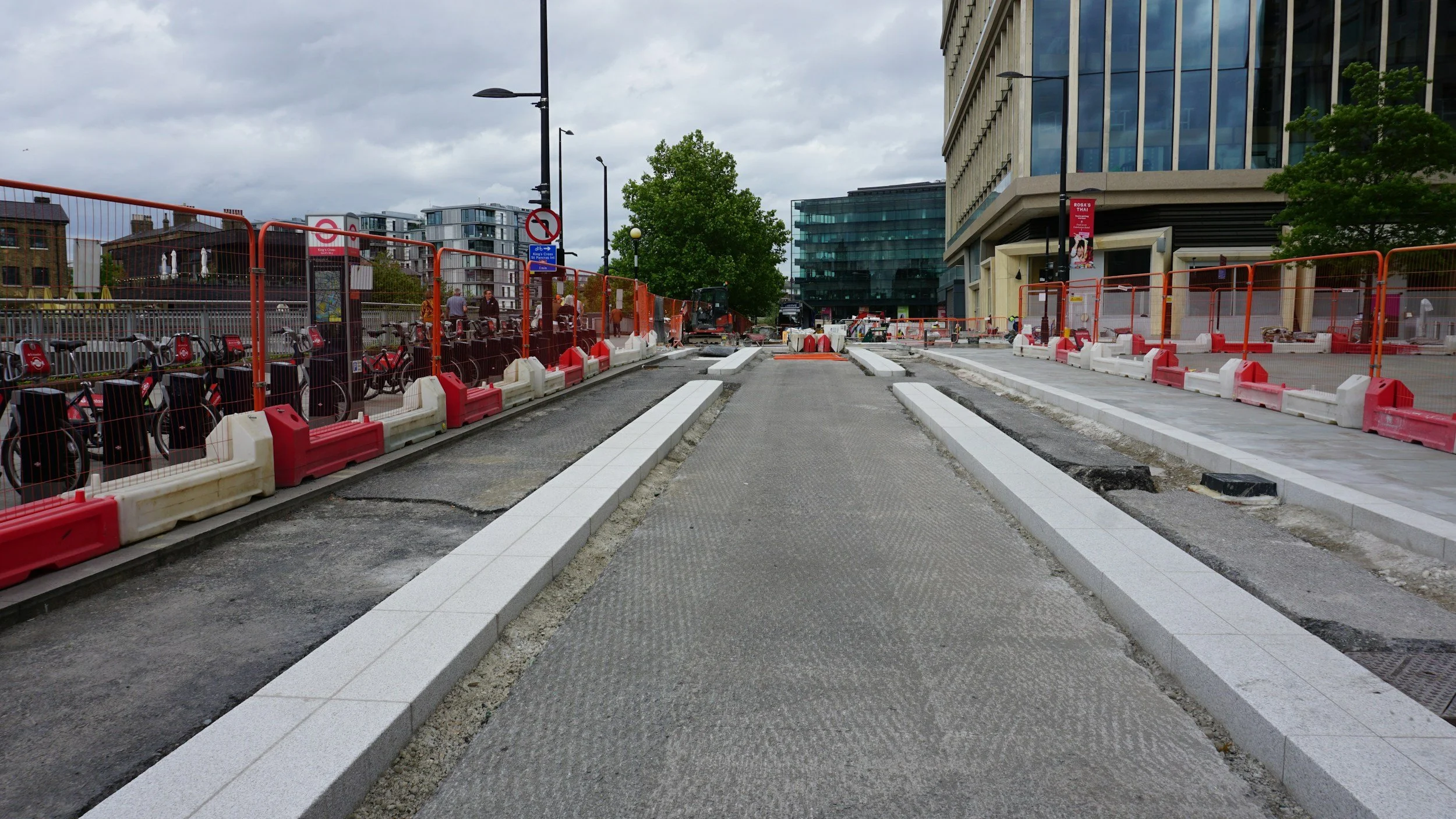
Monitoring levees and flood defenses with InSAR: opportunities and limits

How InSAR supports long-term monitoring of levees, dikes and flood defenses, where coverage gaps occur and what satellite data cannot prove.
Read More
Infrastructure Steve McLay 8/17/26 Infrastructure Steve McLay 8/17/26

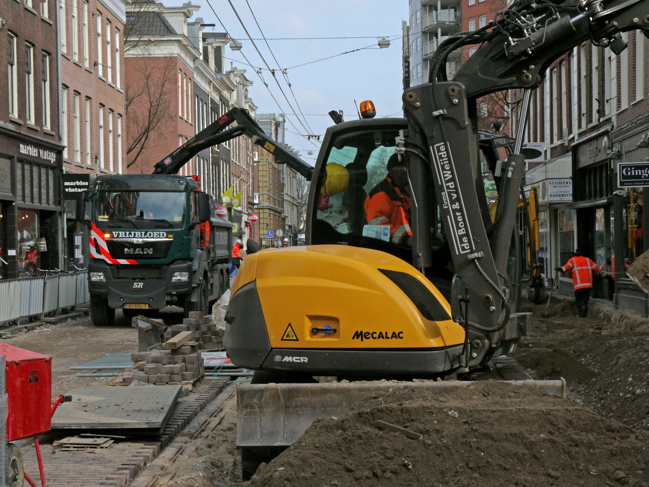
From subsidence maps to municipal maintenance budgets: a practical workflow

How municipalities combine InSAR subsidence maps with road and sewer records and asset risk to plan maintenance, with lessons from the Diemen case.
Read More
Infrastructure Steve McLay 8/12/26 Infrastructure Steve McLay 8/12/26

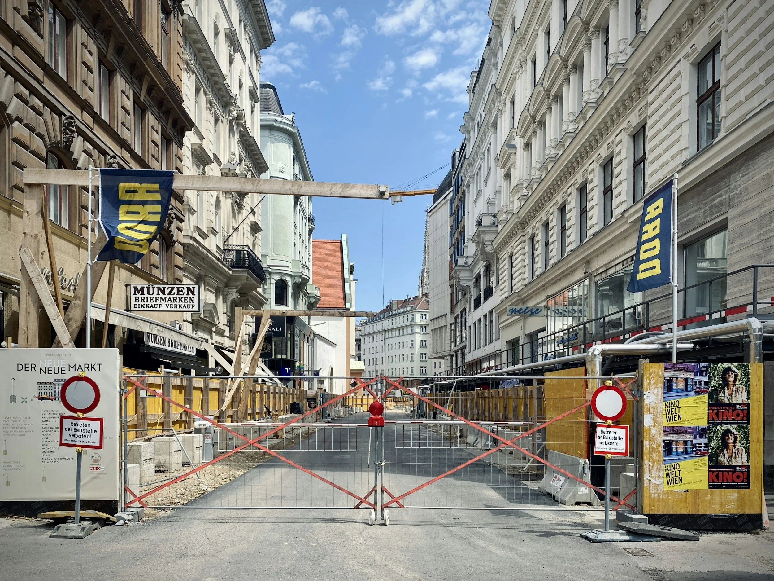
Prioritizing gas and water utility inspections with satellite ground movement data

How gas and water utilities combine InSAR ground movement histories with asset records to prioritize inspections, including the Stedin example.
Read More
Infrastructure Steve McLay 8/5/26 Infrastructure Steve McLay 8/5/26

Establishing a pre-construction ground movement baseline with satellite InSAR

How historical InSAR documents ground and building movement before excavation, tunneling or dewatering begins, and how to keep the baseline useful.

Read More
Infrastructure Steve McLay 5/25/26 Infrastructure Steve McLay 5/25/26

Urban subsidence monitoring with InSAR: recognizing city-scale ground movement patterns

How cities use satellite InSAR to map subsidence and uplift across neighborhoods and networks, and why one point does not define building risk.

Read More
Infrastructure Steve McLay 5/19/26 Infrastructure Steve McLay 5/19/26

Highway and bridge settlement: where satellite InSAR adds value

How road agencies use satellite InSAR to assess settlement at highways, embankments, interchanges and bridge approaches, and how to triage maintenance.

Read More
Infrastructure Steve McLay 5/14/26 Infrastructure Steve McLay 5/14/26

Monitoring railroad settlement across corridors with satellite InSAR

How rail asset owners use satellite InSAR to screen long corridors for settlement near earthworks, stations and bridge approaches, and what it cannot measure.

Read More
Infrastructure Steve McLay 3/26/26 Infrastructure Steve McLay 3/26/26

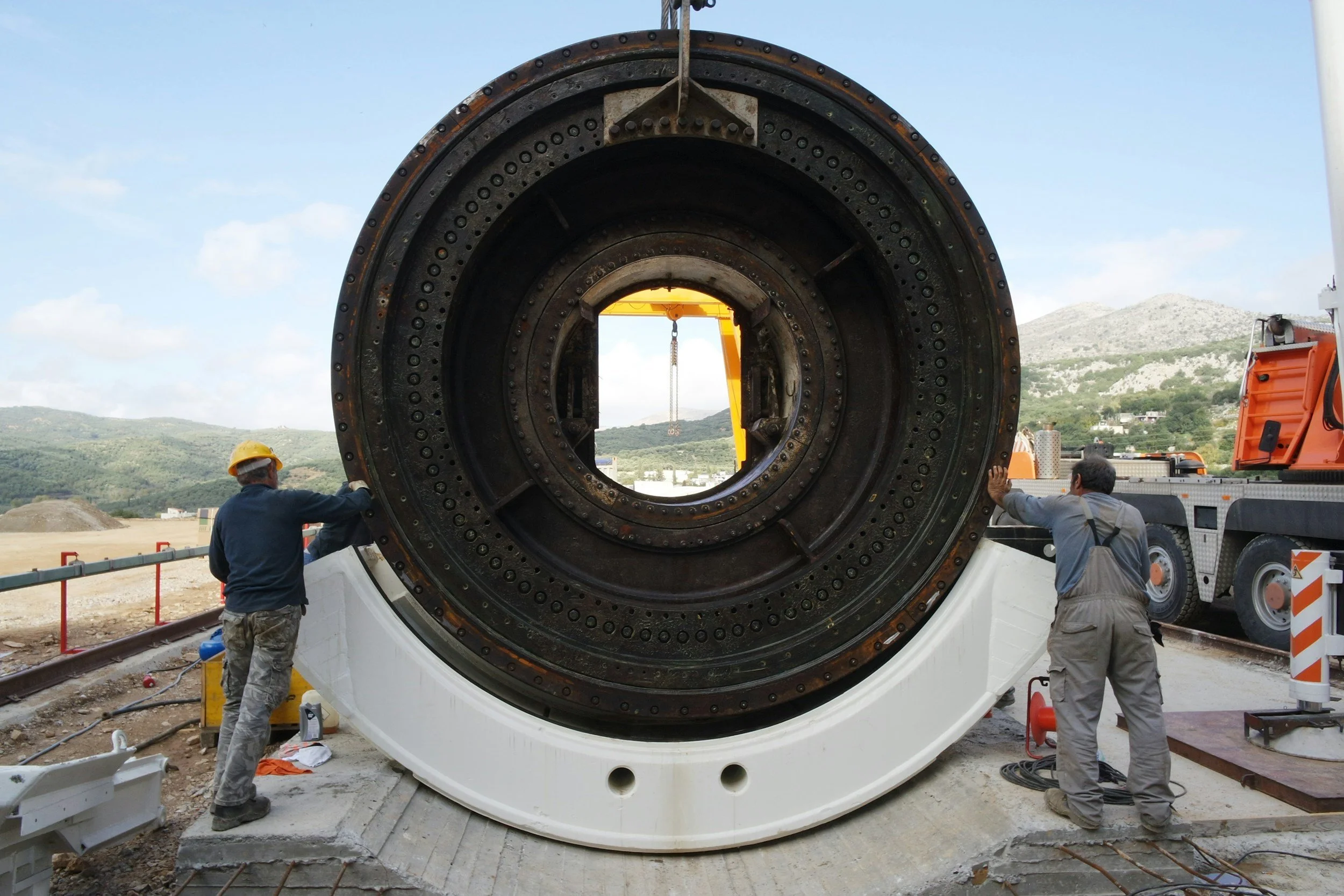
Structural health monitoring with InSAR: what it can tell owners of bridges and buildings

What InSAR can and cannot tell owners of bridges and buildings about ground movement, and how to combine it with inspections and surveys.
Read More
Infrastructure Steve McLay 12/21/25 Infrastructure Steve McLay 12/21/25

How InSAR complements tunnel and construction settlement monitoring

Historical and ongoing InSAR settlement data adds a wide-area view to prisms, leveling and GNSS on tunneling and major construction projects.

Read More
Infrastructure Steve McLay 12/8/25 Infrastructure Steve McLay 12/8/25

How InSAR complements civil infrastructure and utility monitoring

InSAR adds network-wide ground movement data to inspections, leveling and structural monitoring, helping infrastructure and utility owners focus their effort.

Read More
Privacy Policy

USA

Texas

2323 S Voss Rd Suite # 490
Houston, TX 77057
Tel. +1 281-972-2777
E: Info@skygeo.com

California

727 Spring Street,
Sausalito, CA 94965
Tel. +1 415 417 1970
E: Info@skygeo.com

The Netherlands

Oude Delft 175
2611 HB Delft
The Netherlands
Tel. +31 15 8200225
Fax. +31 15 8200215
E: Info@skygeo.com

Canada

Suite 331, 908 17 Ave SW
Calgary AB T2T 0A3
Canada
Tel. +1 587 329 8600
E: Info@skygeo.com

Australia

Tel. +61 48 884 3000

Chile

Tel. +56 2 2840 0788

Germany

Tel. +49 1573 5997890

South Africa

Tel. +27 87 250 2700

Singapore

Tel. +65 3129 2700