
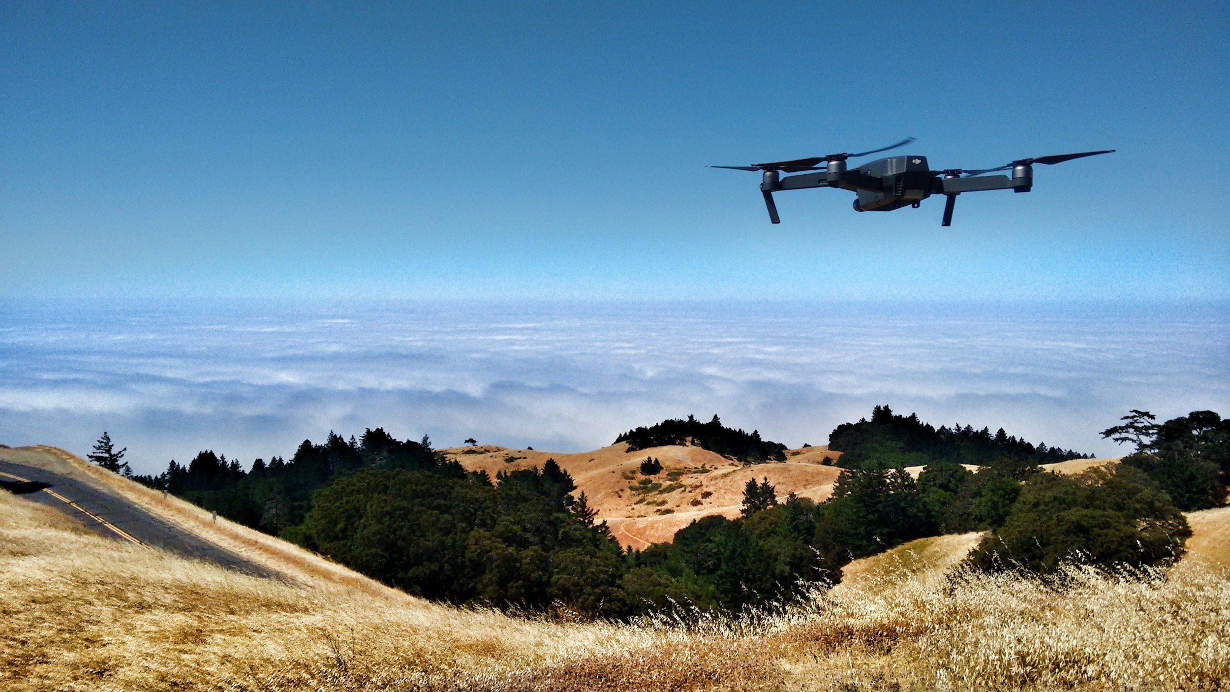
Satellite InSAR, LiDAR and drone surveys answer different measurement questions. InSAR estimates displacement histories from repeated radar observations. LiDAR captures detailed three-dimensional surface geometry. Drones are a flexible platform for close-range imaging or surveying. The right choice depends on whether an engineer needs a movement trend, a detailed shape or a close inspection.
Choose by the result you need
A railroad asset manager looking for long-term settlement along hundreds of miles of track needs consistent, repeatable measurements across a large network. A geotechnical engineer documenting a fresh rockfall may need a high-resolution terrain model. A bridge inspector investigating visible damage may need close-up photographs or a targeted survey. These are not competing versions of the same dataset. The deliverable should follow the question, with resolution, frequency, confidence and access requirements agreed in advance. You can read more about how the method works in SkyGeo's introduction to InSAR.
What InSAR does well
InSAR can cover long corridors and entire catchments, compare historical periods where suitable radar imagery exists, and flag patterns of relative deformation for review, all without physical access to every measurement point. No other method offers that combination of coverage and history. Its constraints include line-of-sight geometry, gaps over vegetation or disturbed ground, and limited suitability for hazards that change very quickly, and it does not provide the close visual detail needed to inspect joints, cracks or exposed structural elements.
Where LiDAR and drones add value
Airborne or terrestrial LiDAR is well suited to mapping geometry, calculating volumes and recording detailed terrain or structural shape. Comparing repeat surveys can reveal topographic change, depending on alignment and survey quality. Drones can collect photographs, photogrammetric models and, with the right payload, LiDAR or thermal data over selected areas. They are limited by flight permissions, weather, site access and survey design, but they answer close-range questions that satellite deformation mapping cannot. For a wider practical overview, you can download The Ultimate Guide to Using InSAR.
How to design a combined workflow
A practical sequence is to screen a large asset portfolio with satellite movement histories, check any suspicious cluster against asset records, and then commission targeted field, drone or LiDAR work where the finding justifies it. On an active excavation, the emphasis reverses: on-site instruments handle safety-critical monitoring and satellite data provides the wider context. A good specification states which question each method answers instead of simply listing sensors.
How to compare proposals fairly
Ask whether each provider is delivering displacement, elevation, change detection, photographs or a risk interpretation. Require a common geographic reference system, documented accuracy or uncertainty, a defined survey interval and a plan for missing observations. Price alone is not a fair comparison if one proposal supplies a map and another includes engineering interpretation, investigation triggers and reporting. SkyGeo can provide the InSAR data and analysis for your project and help you scope the satellite component alongside your existing survey and instrumentation.
Frequently asked questions
-
Not when you need a long displacement time series over a very large area. Repeat drone surveys can measure change, but the method, coverage and observing conditions are different. Drones are often most useful for detailed follow-up.
-
There is no universal answer because they measure different things. A detailed LiDAR surface model and an InSAR line-of-sight displacement trend have different sources of uncertainty, and each should be judged against the engineering tolerance you need.
-
Not necessarily. Use the smallest combination that reliably answers the question about your asset. Some sites need only one method, while higher-consequence sites often benefit from complementary observations.
