

Building a credible business case for satellite ground movement monitoring
How to build a credible business case for InSAR monitoring around real maintenance decisions, conservative cost modeling and a clearly defined pilot.
Integrating InSAR into GIS and asset management systems
A practical guide to linking InSAR time series, uncertainty and asset IDs to GIS, inspection and maintenance workflows without losing traceability.
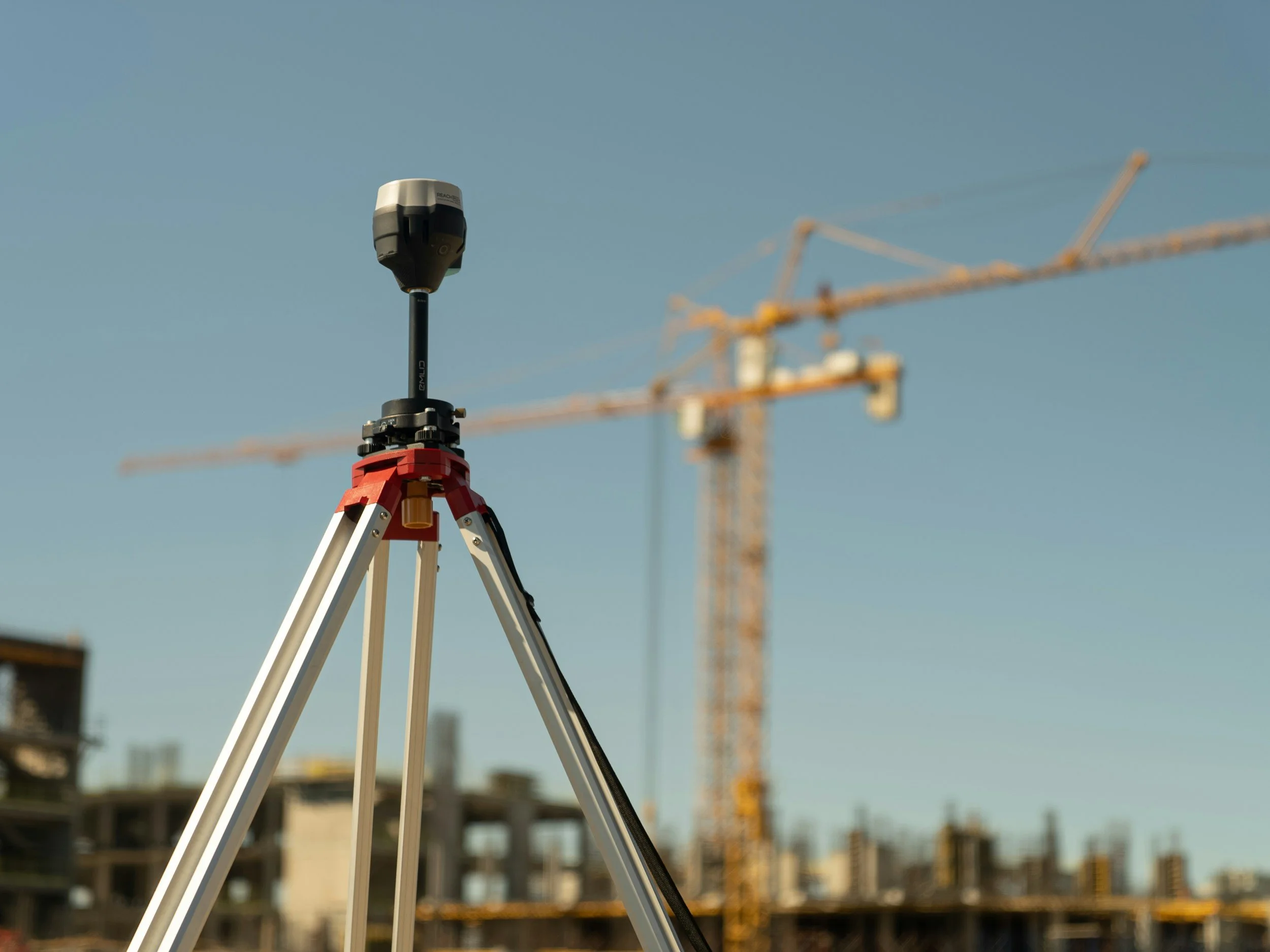
Combining InSAR with GNSS, leveling, prisms and ground-based radar
How satellite InSAR complements GNSS, leveling, prisms, piezometers and ground-based radar, and how to make the measurements comparable.

InSAR accuracy, precision and line of sight: what the numbers really mean
What InSAR accuracy and precision really mean, why measurements are along the line of sight, and why millimeter sensitivity is not universal accuracy.

Satellite revisit time is not monitoring latency: choosing an InSAR update schedule
Satellite revisit time and report delivery are not the same thing. How to choose an InSAR update schedule that matches the risk you manage.

Writing an InSAR monitoring specification: what procurement teams should ask for
A practical guide for procurement teams writing an InSAR specification: problem statement, technical scope, testable outputs and responsibilities.

Is InSAR suitable for your site? A practical feasibility assessment
How to assess whether InSAR suits your site: decision, radar targets, archive history, coverage, uncertainty and what makes a site unsuitable.
AI and the future of InSAR: where automated analytics help and where experts remain essential
Machine learning can help screen large InSAR datasets, but it cannot replace expert interpretation. Where automation helps and what buyers should ask.
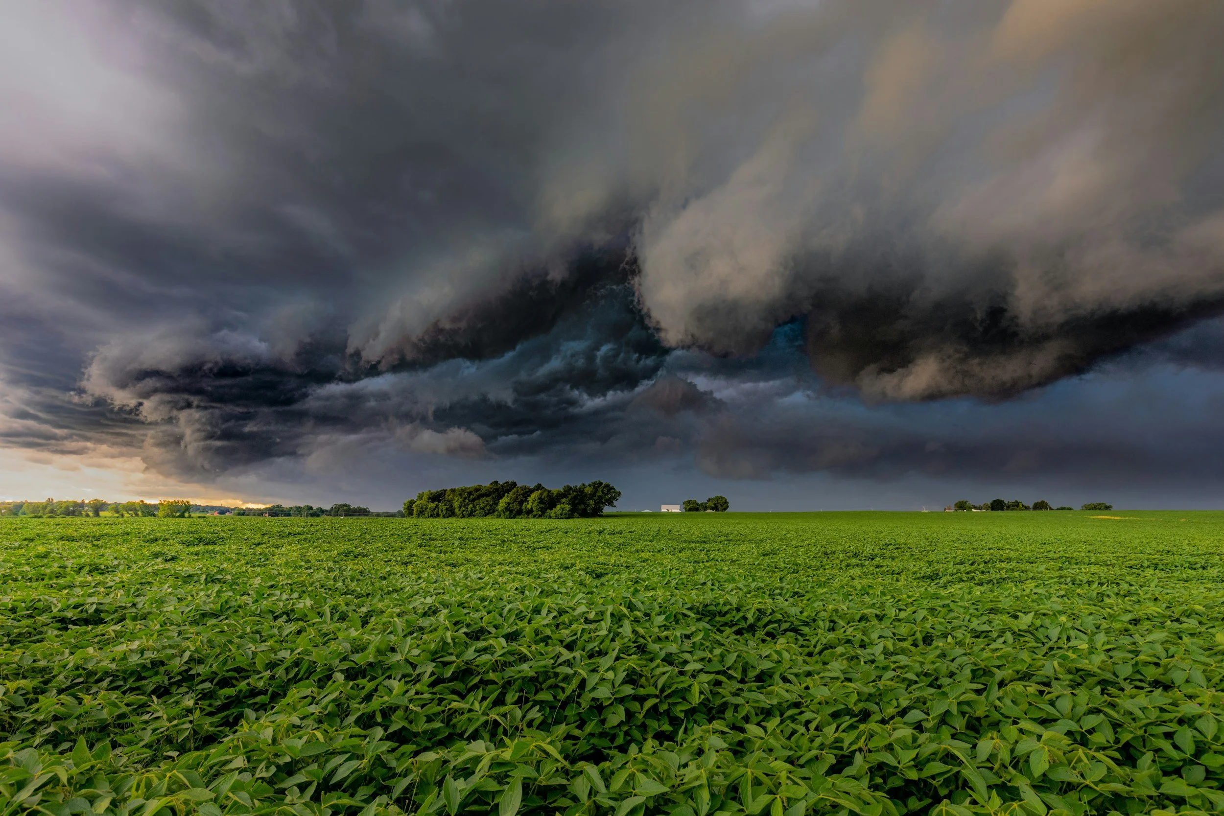
How weather, vegetation and surface changes affect InSAR measurement quality
Rain, vegetation, land use and earthworks can affect InSAR measurements. Learn how these factors create noise or gaps and how to review data quality.

X-, C- and L-band InSAR: how wavelength affects monitoring suitability
How radar wavelength affects InSAR monitoring. Compare X-, C- and L-band trade-offs for vegetation, resolution and archives, and what to ask providers.
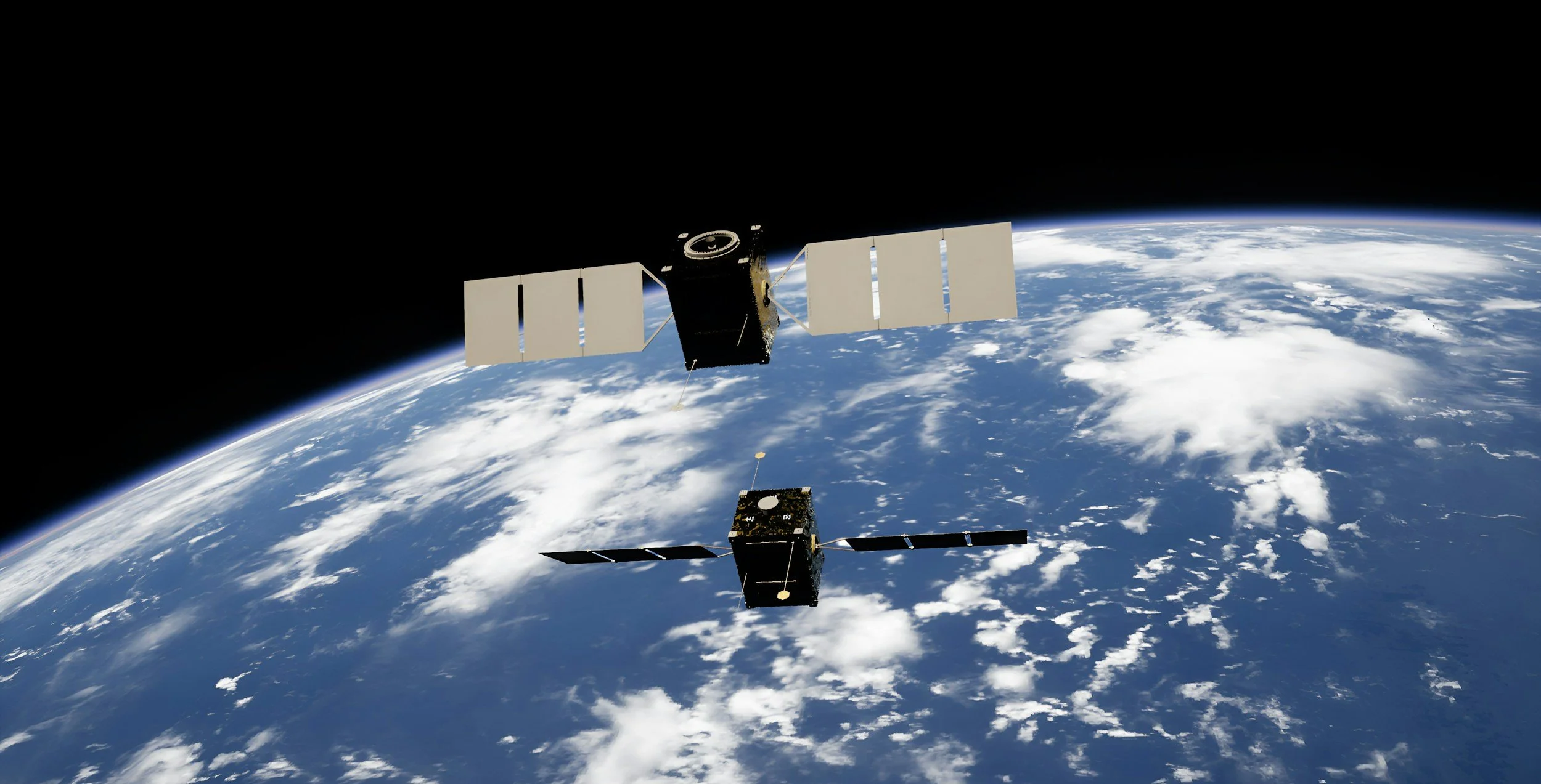
SAR vs InSAR: the difference between radar images and movement measurements
SAR creates radar images. InSAR compares radar phase to measure ground displacement. Learn the difference and why it matters when buying satellite data.
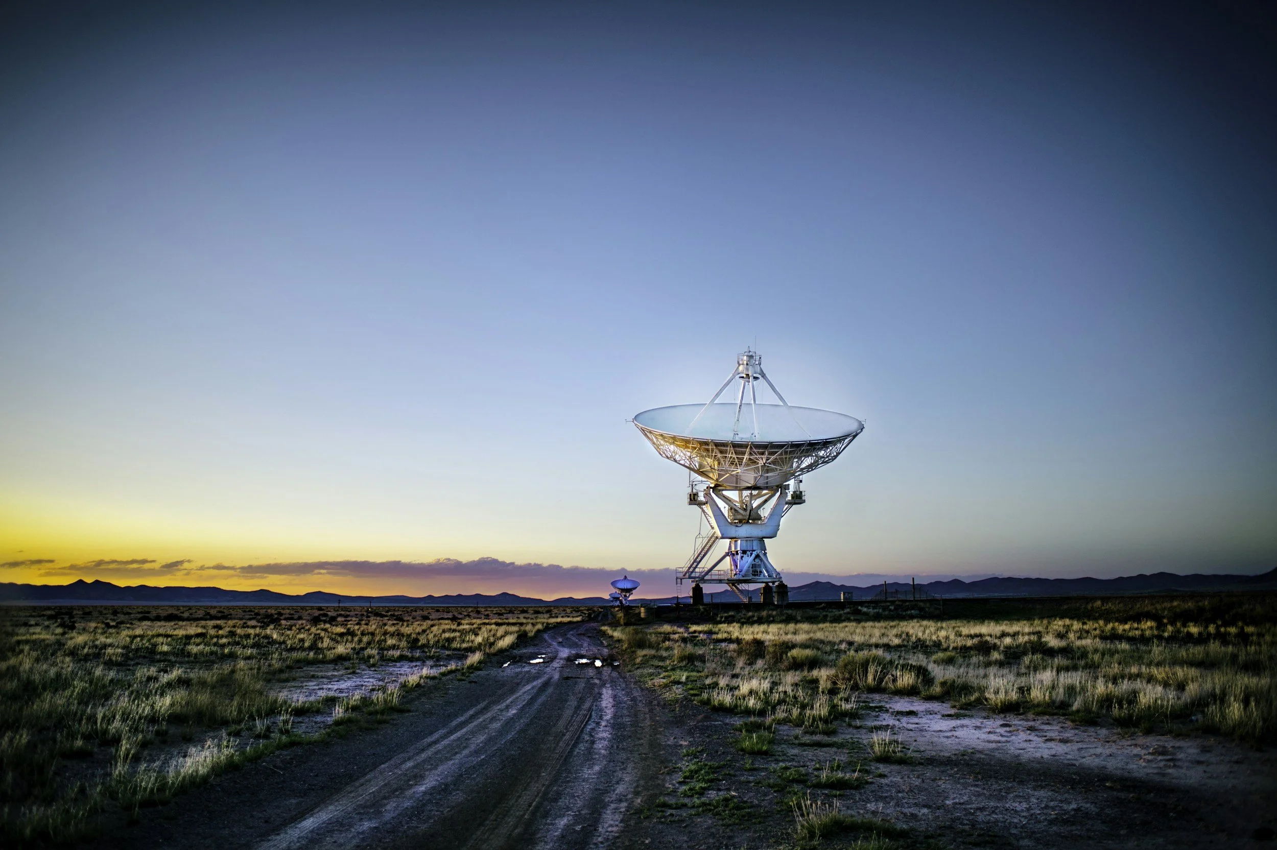
How satellite InSAR measures small ground movements: from radar phase to decisions
How does InSAR detect millimeter ground movement? A plain-language walk from radar phase and interferograms to time series and engineering decisions.

InSAR, LiDAR or drones: how to choose the right monitoring method
InSAR, LiDAR and drone surveys answer different questions. Compare what each method measures and how to combine them in a practical monitoring workflow.

What is InSAR? A practical introduction to satellite ground movement monitoring
InSAR uses repeated radar satellite observations to measure how the ground moves over time. Learn what it measures, where it helps and where it has limits.
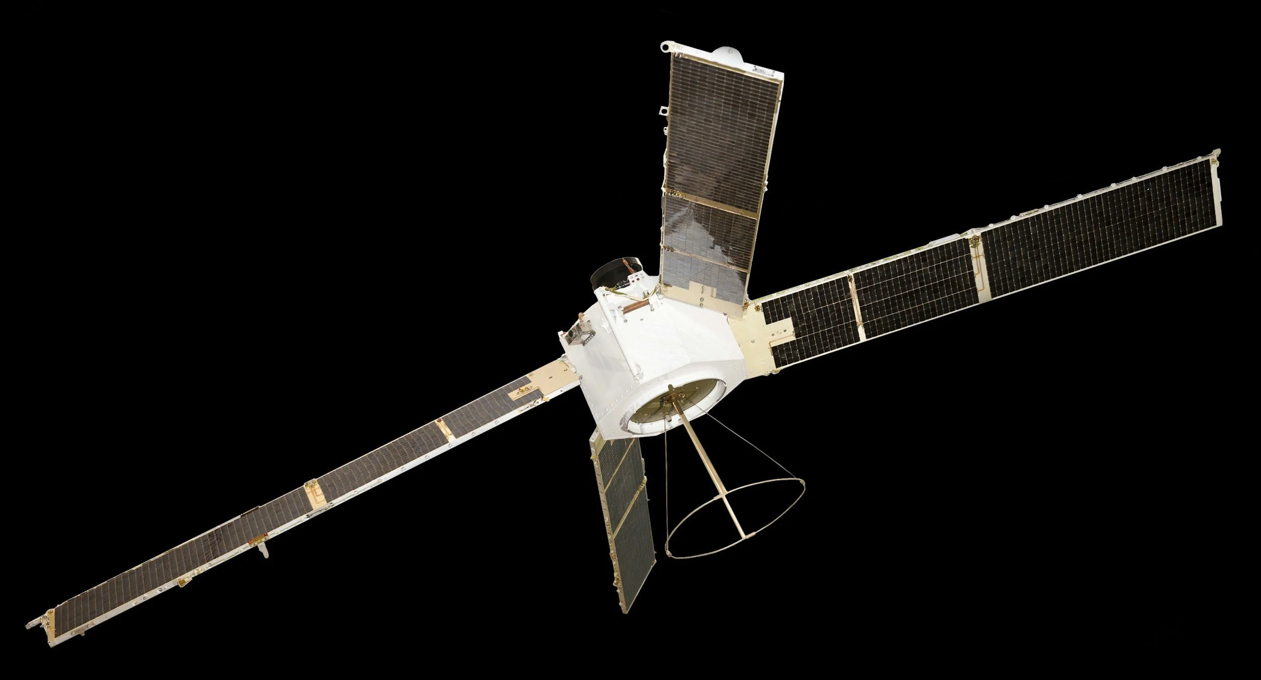
Which SAR satellites support InSAR? A guide to current radar missions
A guide to the main radar satellite missions used for InSAR across X-, C-, S-, L- and P-band, and how to judge which suit your monitoring needs.
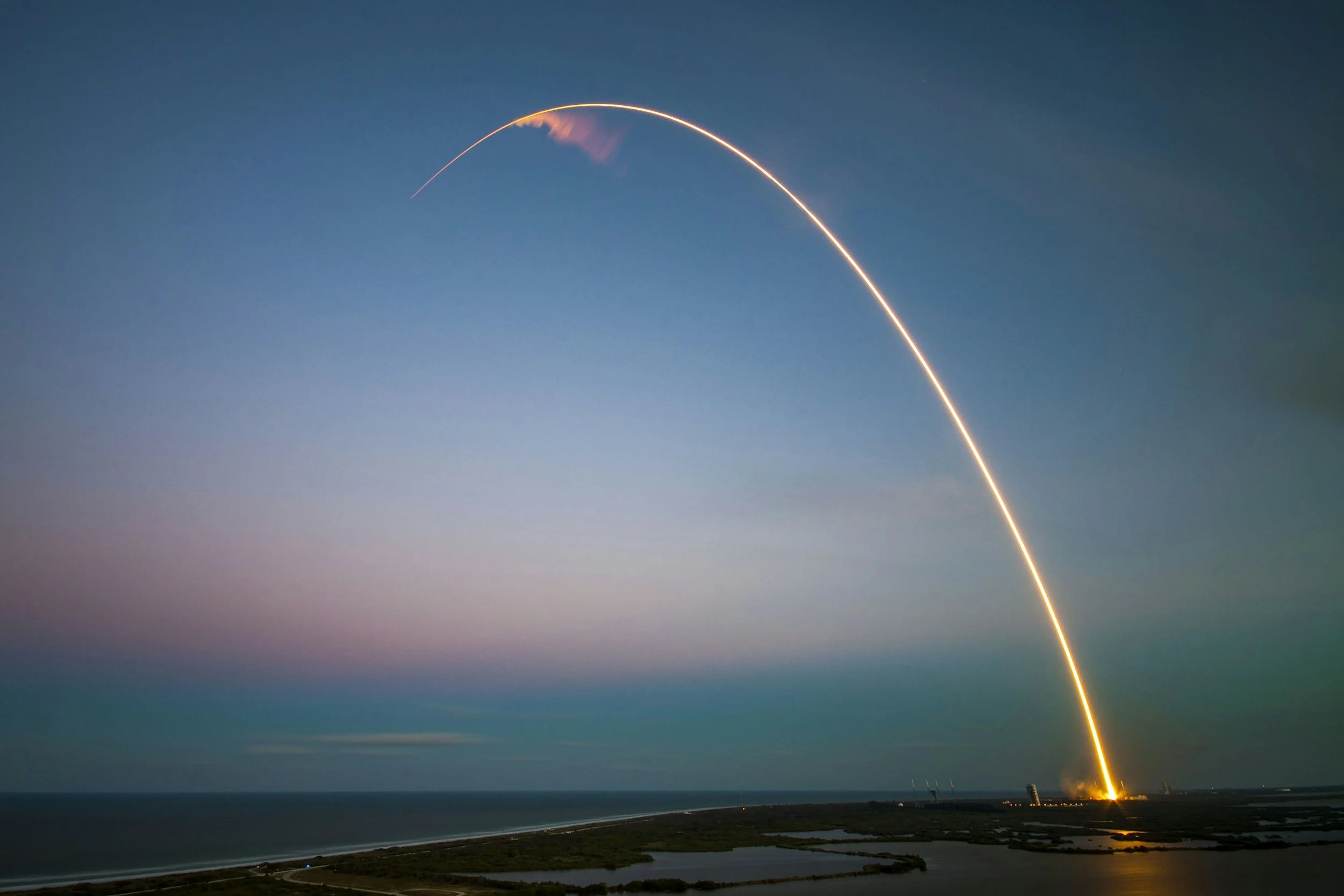
What is NISAR? A guide to the NASA-ISRO radar mission
NISAR is the NASA-ISRO radar satellite launched in 2025. Learn what its L- and S-band instruments measure and what it means for ground motion monitoring.
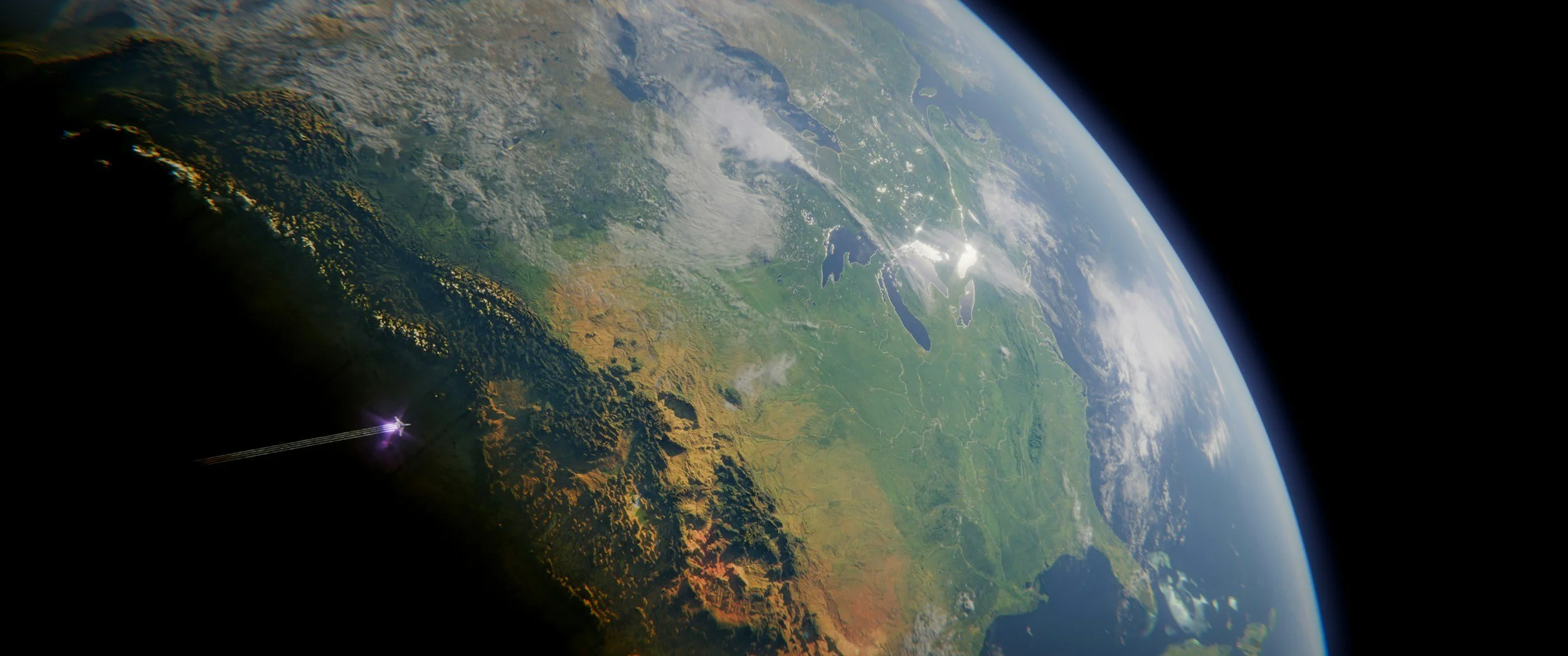
NISAR vs InSAR: what is the difference?
NISAR is a NASA-ISRO radar satellite. InSAR is a measurement technique that can use data from many satellites. Here is why the difference matters.
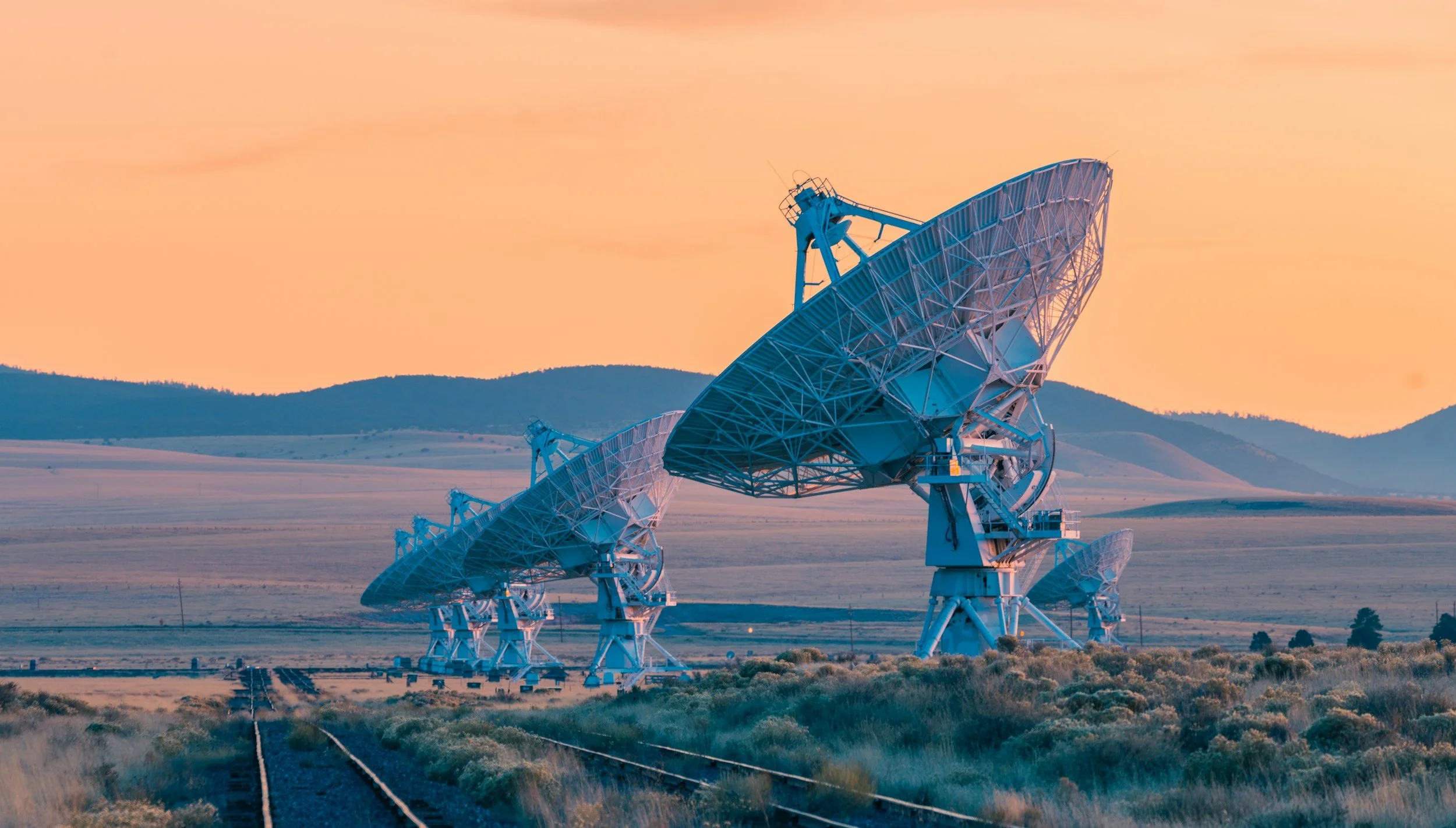
S-band InSAR: what NISAR's S-band radar adds
S-band sits between C- and L-band. Learn what NISAR's S-band radar offers for InSAR and how to judge whether it suits your monitoring needs.

P-band radar and InSAR: exciting science for forests and beyond
P-band radar, used by ESA's Biomass mission, reveals forest structure. Learn what it offers science and how it compares with bands used for asset monitoring.

L-band InSAR: when a longer radar wavelength gives you an advantage
L-band InSAR can keep useful coherence over vegetated and changing surfaces. Learn where the longer wavelength helps and which missions provide it.