
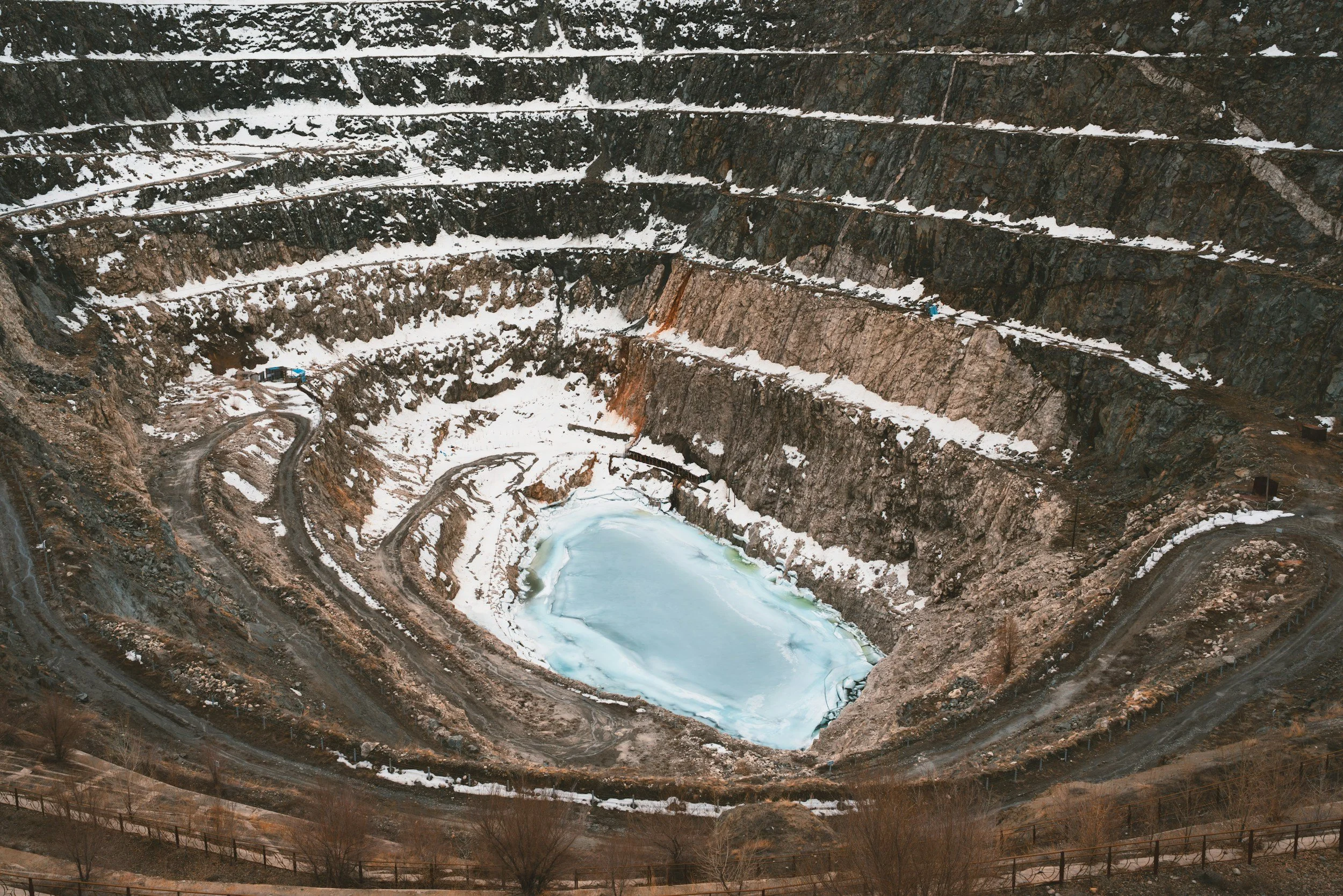
Open-pit mines can use satellite InSAR to review ground movement across pit surroundings, benches and areas beyond the reach of installed instruments, wherever radar visibility allows. It gives geotechnical teams a site-wide view and years of historical context, helping them target inspections and focus review where movement is developing. It works best alongside the mine's approved monitoring and response systems for active pit wall safety.
Map the changing excavation geometry
A pit is not a static landscape. New benches, haul road realignments and mining phases constantly change its surfaces and the radar reflections they produce. Before interpreting time series, the geotechnical team should record which faces were visible during each observation period and which have since been excavated. Measurements from a former surface cannot simply be extended into a new pit configuration, and a coherent point may disappear after blasting or excavation. You can read more about InSAR for slope stability on SkyGeo's InSAR for mining page.
Separate pit faces from surrounding ground
The most valuable satellite information does not always come from the active face. Movement across nearby waste dumps, access roads, old mining areas and natural slopes provides context for wider ground behavior. These areas may also offer more persistent targets than frequently worked benches. A project scope should therefore separate high-frequency instrumentation for active hazard zones from satellite screening across the wider mine footprint.
Use observations to update the geotechnical picture
An observed pattern becomes useful when compared with structural mapping, mining stages, drainage, pumping, local radar and survey measurements. A change across several nearby targets is usually more worth investigating than an isolated, unexplained spike, although the consequences at the affected location also matter. Analysts should state that movement is measured along the satellite line of sight and note whether the actual failure direction may be poorly observed. The Kansanshi mine case study shows how InSAR measurements fed into a site-specific engineering response that reduced slope displacement.
Connect satellite findings to site responsibilities
Routine results may lead to a review of movement trends, a targeted inspection, additional measurements or changes to the monitoring layout. Any operational trigger must be set by the mine's geotechnical authority. Because of satellite revisit intervals and possible loss of coherence, InSAR works best alongside ground-based instruments for fast-developing pit wall hazards, and its role should be clearly stated in the mine's monitoring plan and reports.
What a useful pit deliverable contains
The output should include an annotated coverage map, measurement timelines, references and uncertainty, plus a short description of meaningful trends and their potential consequences. It should keep geotechnical interpretation separate from any proven failure mechanism, so that interpreted displacement evidence can be used with confidence alongside the mine's other monitoring.
Frequently asked questions
-
Not in every case. Viewing geometry, radar shadow, active excavation and changing surfaces can prevent useful measurements on parts of the wall.
-
Satellite InSAR provides wider spatial and historical context. Ground-based slope radar provides the much more frequent observations needed for certain active safety situations.
-
Check its data quality and spatial context, compare it with site instruments and have the responsible geotechnical engineer decide whether investigation or escalation is needed.
