
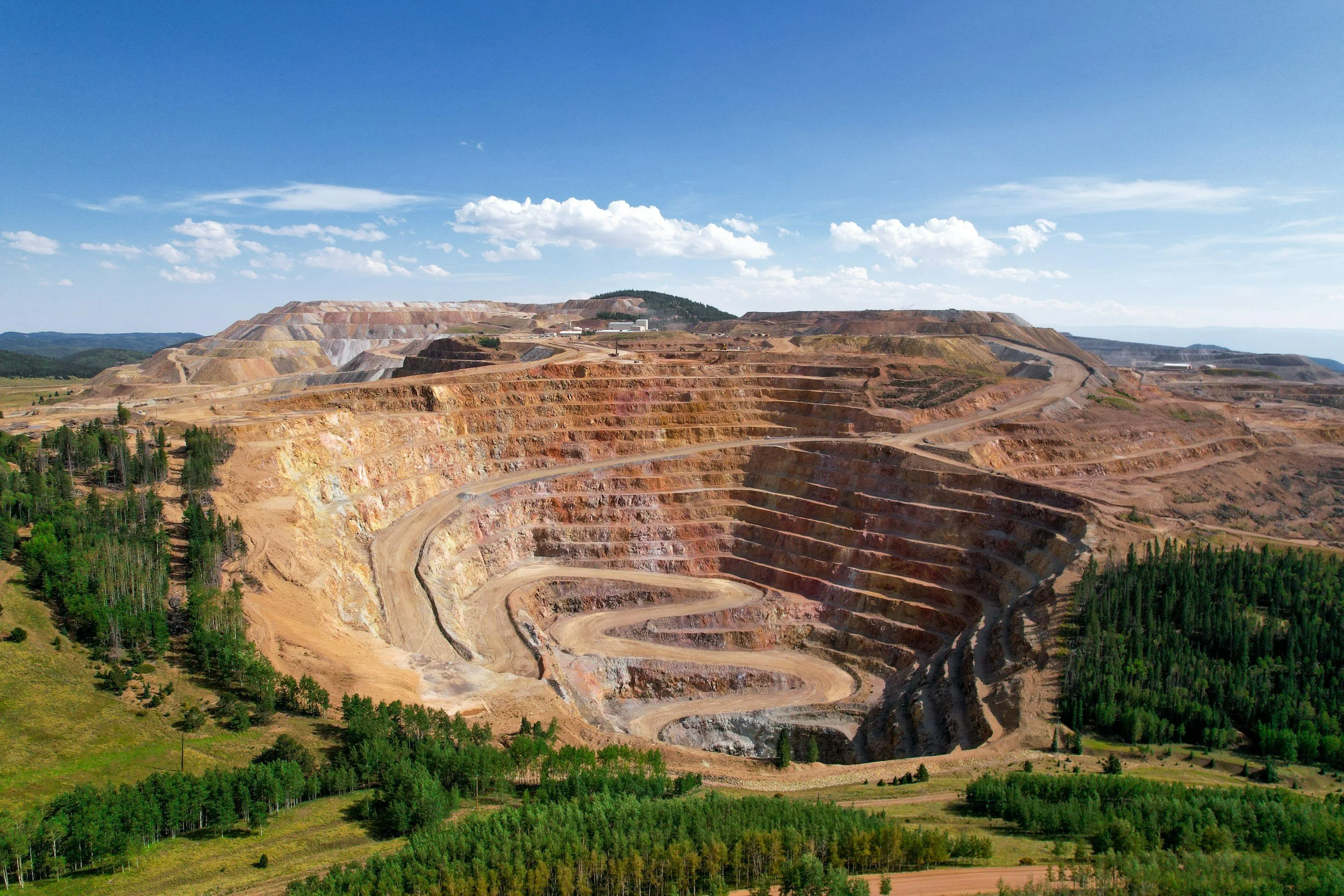
Why InSAR data is easy to misinterpret at mines
Five common mistakes when reading InSAR data at mines, from line-of-sight geometry and data gaps to failure prediction, and what to ask your analyst.
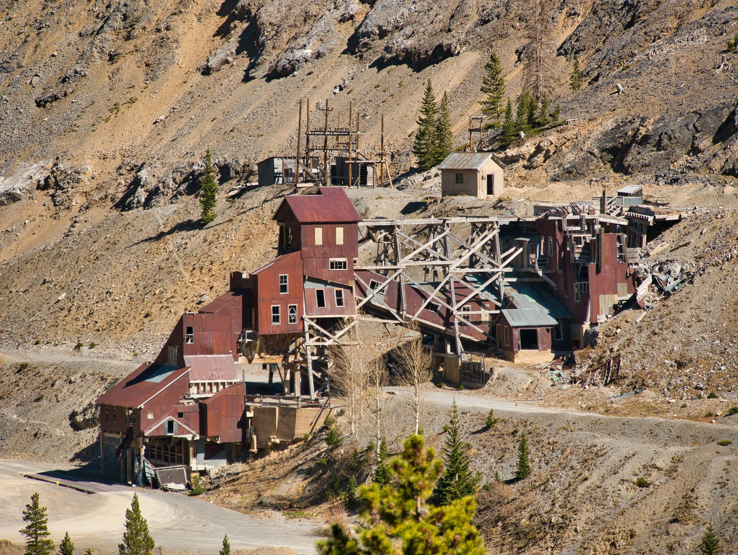
Can satellite InSAR help screen abandoned and legacy mine sites?
How InSAR helps screen abandoned and legacy mining areas for persistent subsidence, and why it must be combined with mine records and ground investigation.
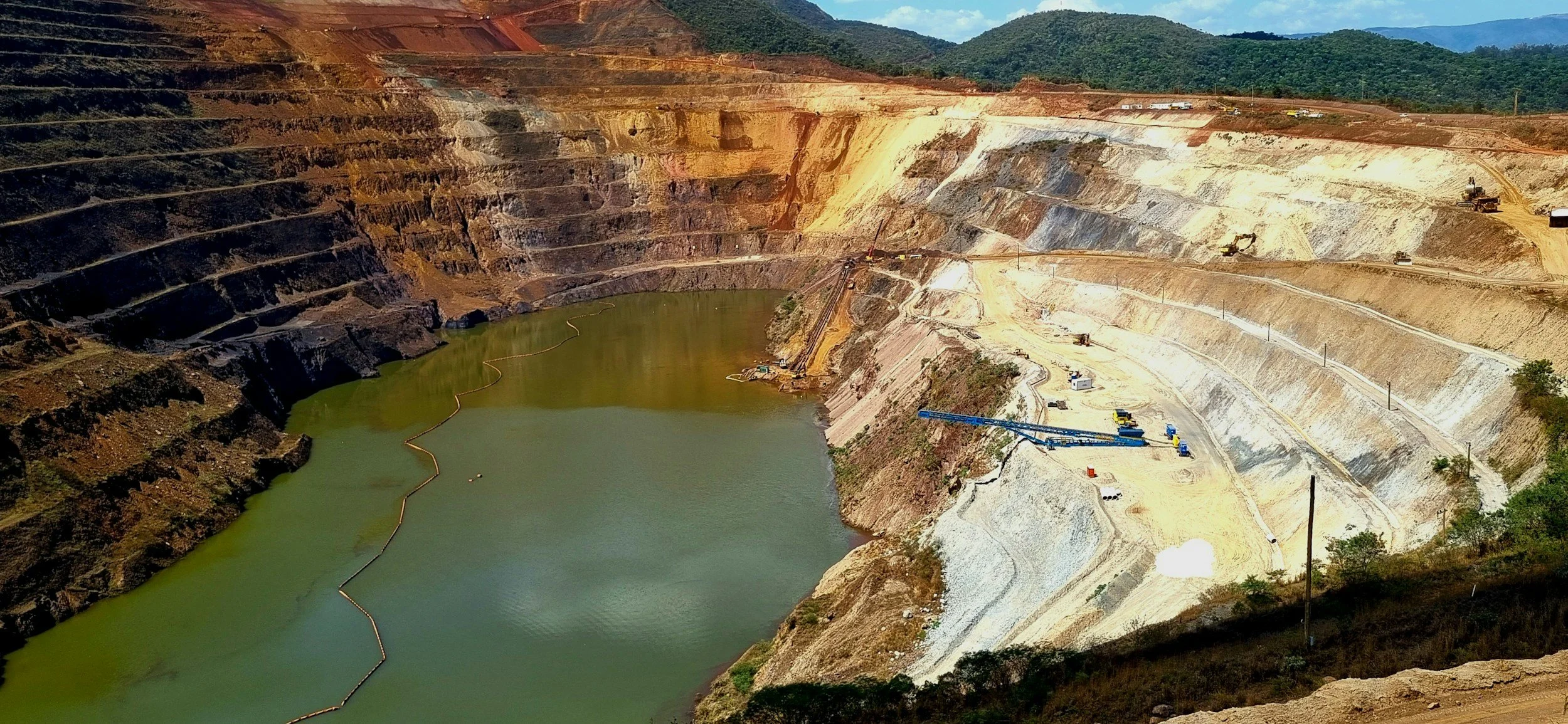
GISTM and tailings deformation monitoring: where satellite InSAR fits
Where InSAR can support tailings monitoring under the Global Industry Standard on Tailings Management (GISTM), and why satellite data alone is not compliance.
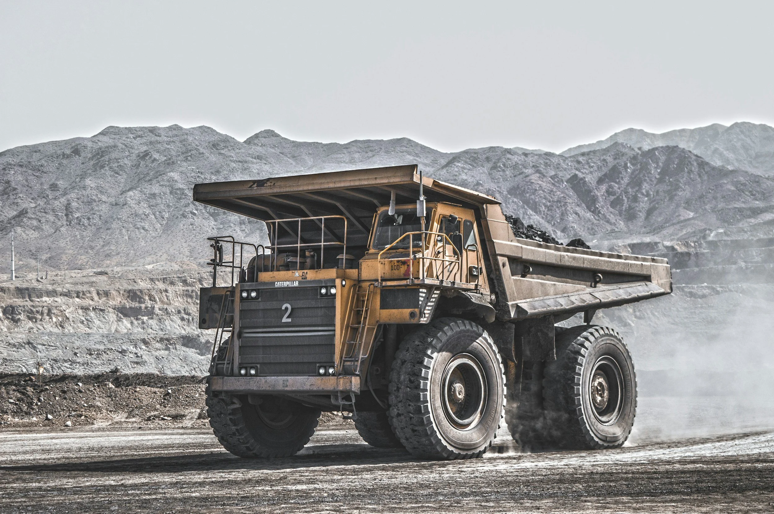
Using InSAR in a trigger action response plan for mine geotechnical monitoring
How InSAR can inform a mine geotechnical TARP with credible trends, context-dependent triggers, named responses and a tested procedure.
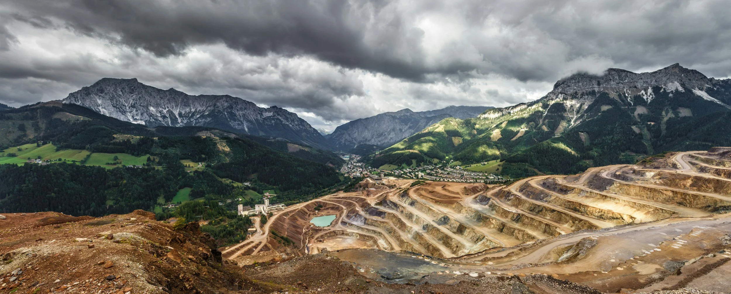
InSAR after tailings closure: tracking long-term deformation and rehabilitation works
How satellite InSAR supports long-term deformation monitoring of closed tailings facilities and rehabilitation works, and where its limits lie.
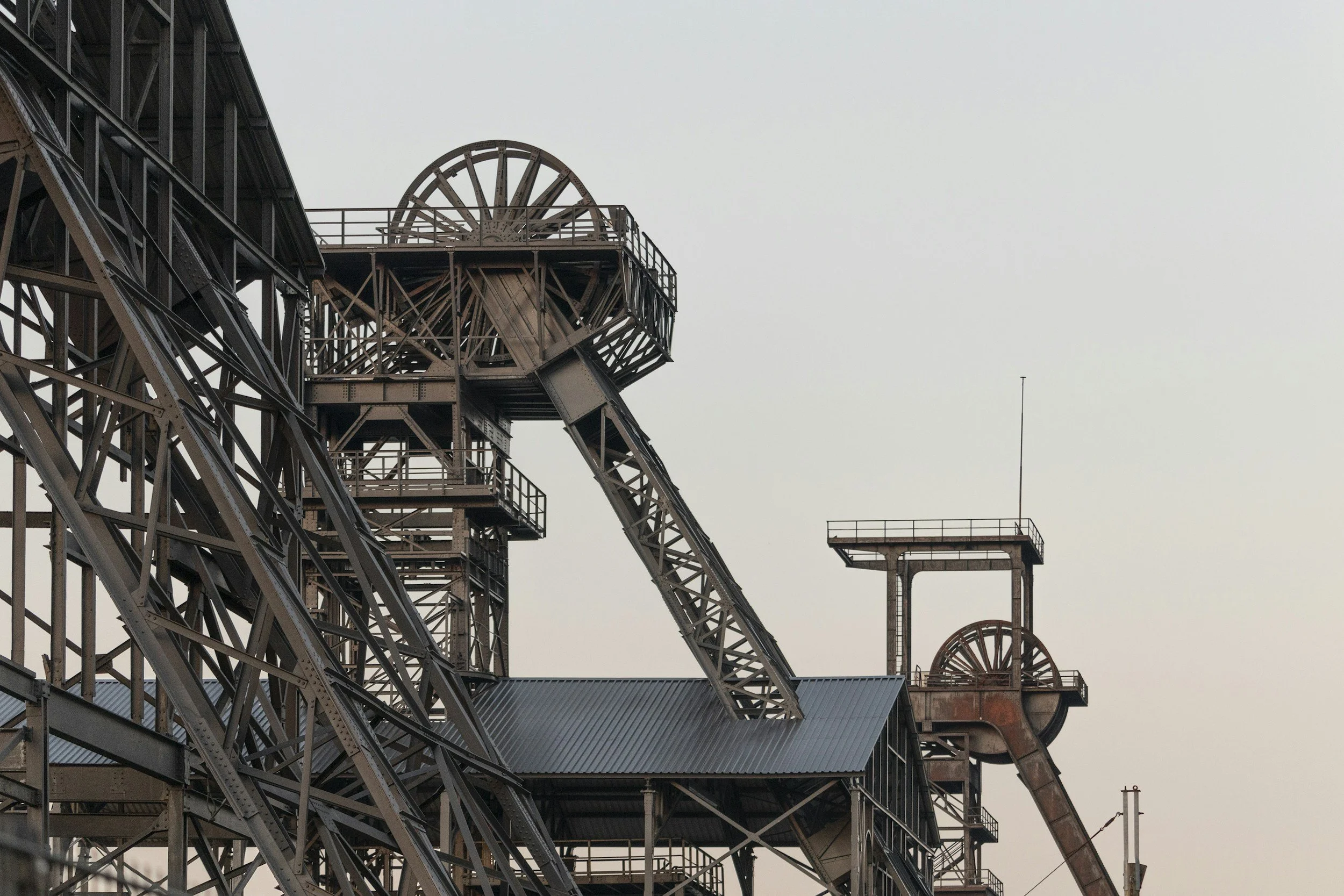
Underground mining subsidence: mapping surface effects with satellite InSAR
How satellite InSAR maps surface subsidence above underground mines, from baselines to affected assets, and what it cannot tell you about voids below.
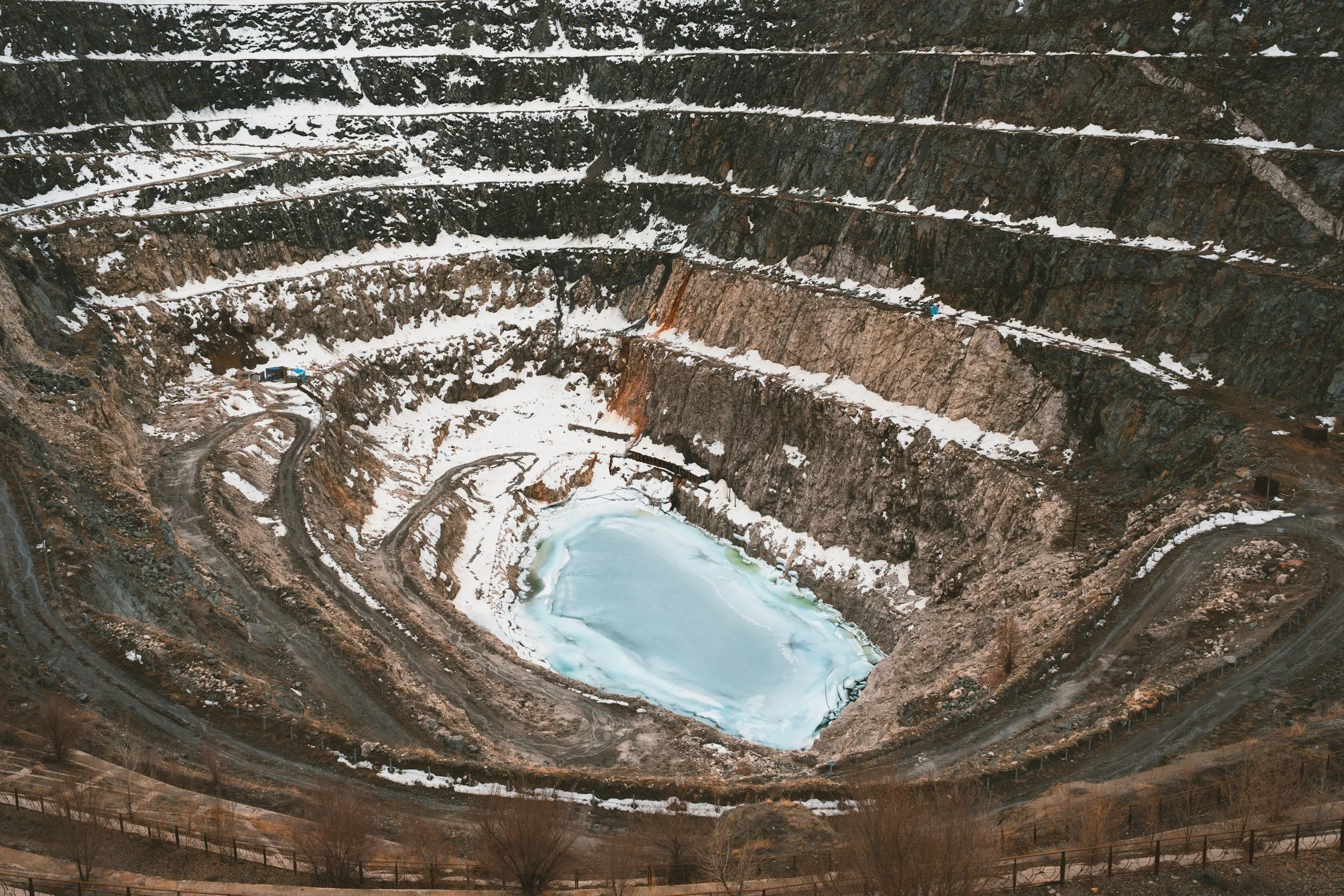
Open-pit slope monitoring with InSAR: from site-wide screening to focused investigation
How open-pit mines use InSAR to screen pit walls, benches and surrounding ground, and how it fits alongside ground-based radar and site instruments.
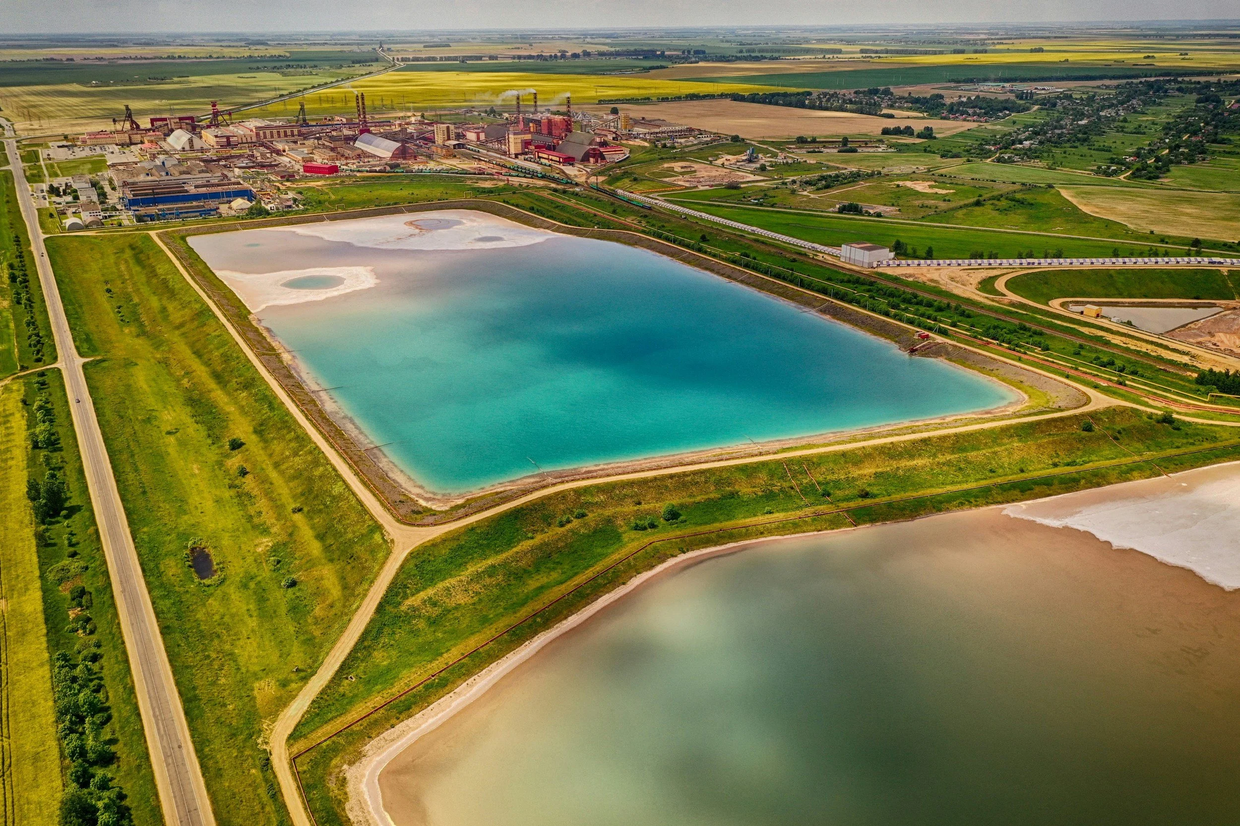
Monitoring tailings storage facilities and waste dumps with InSAR
How satellite InSAR supports monitoring of tailings storage facilities and waste dumps, how to interpret results, and how it relates to GISTM.
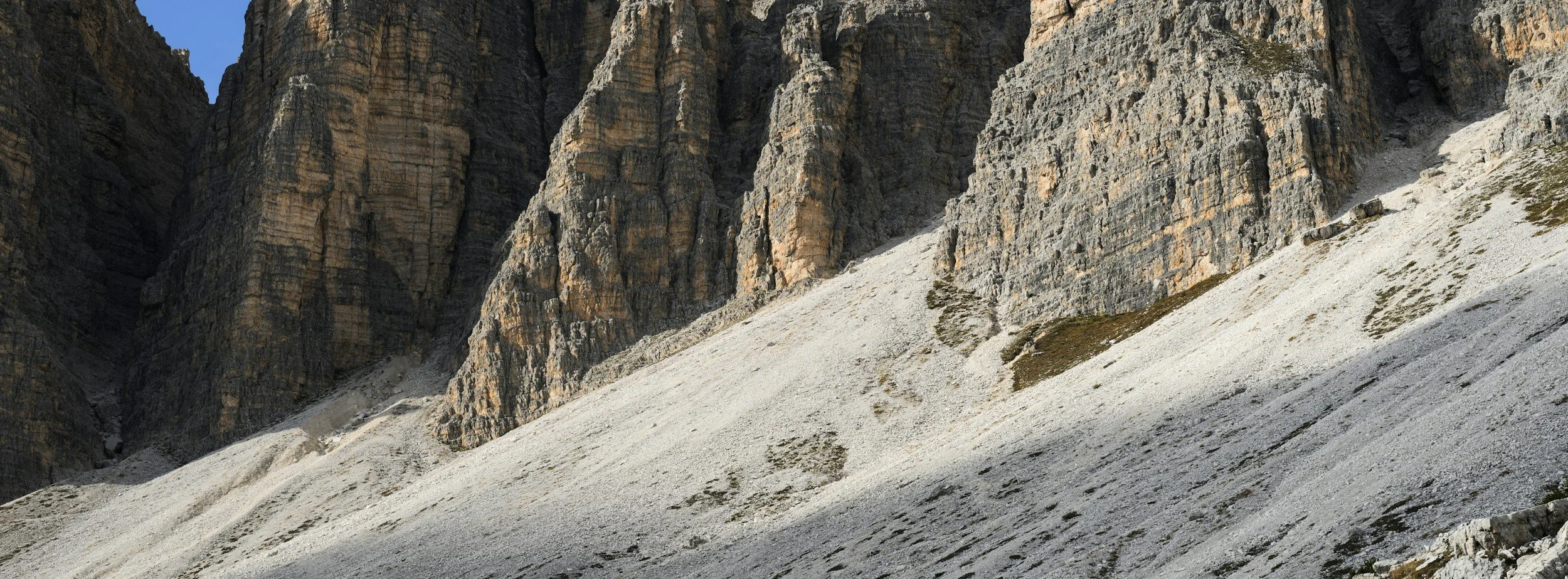
InSAR and geotechnical slope stability: how movement histories support assessment
How InSAR movement histories support slope stability assessment in mines and construction, and why they complement rather than replace slope monitoring.
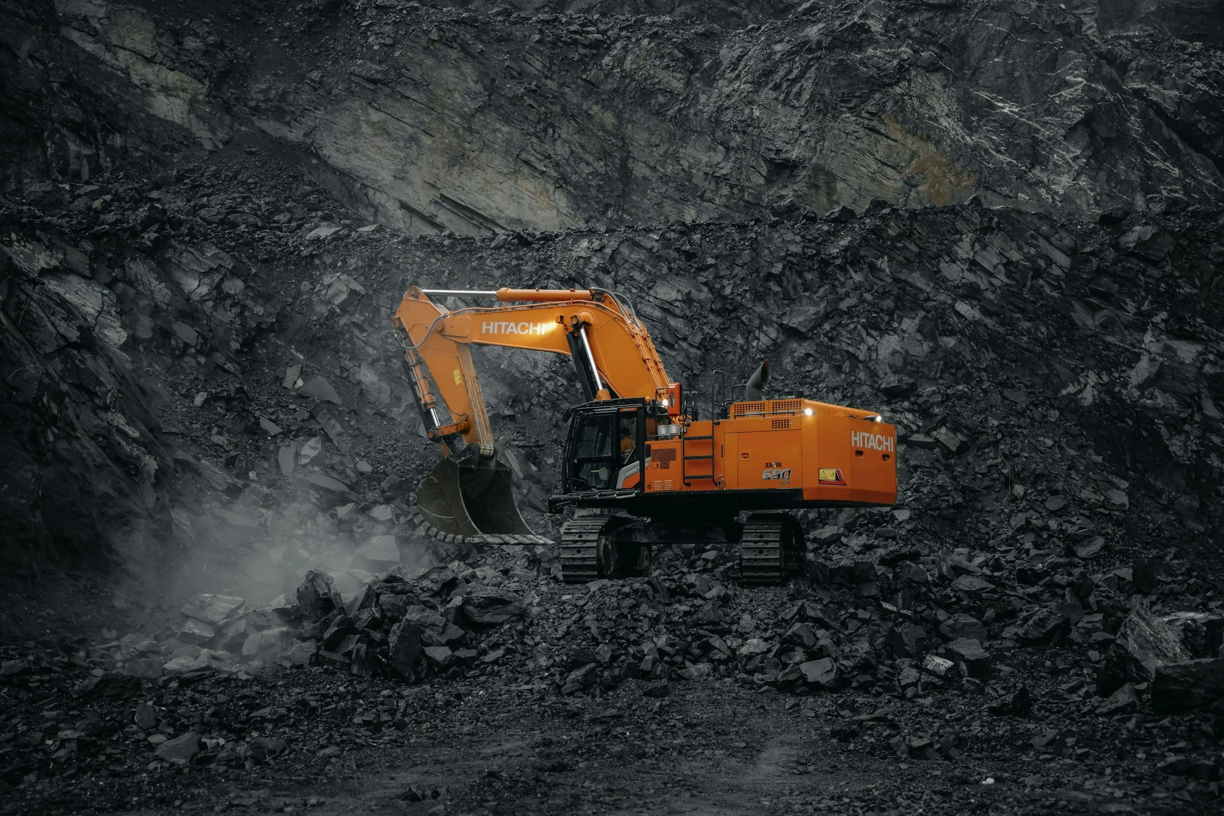
How InSAR complements geotechnical monitoring in mining
How satellite InSAR adds wide-area ground movement history to mine surveys, slope radar and instruments, and how to combine them in one monitoring program.
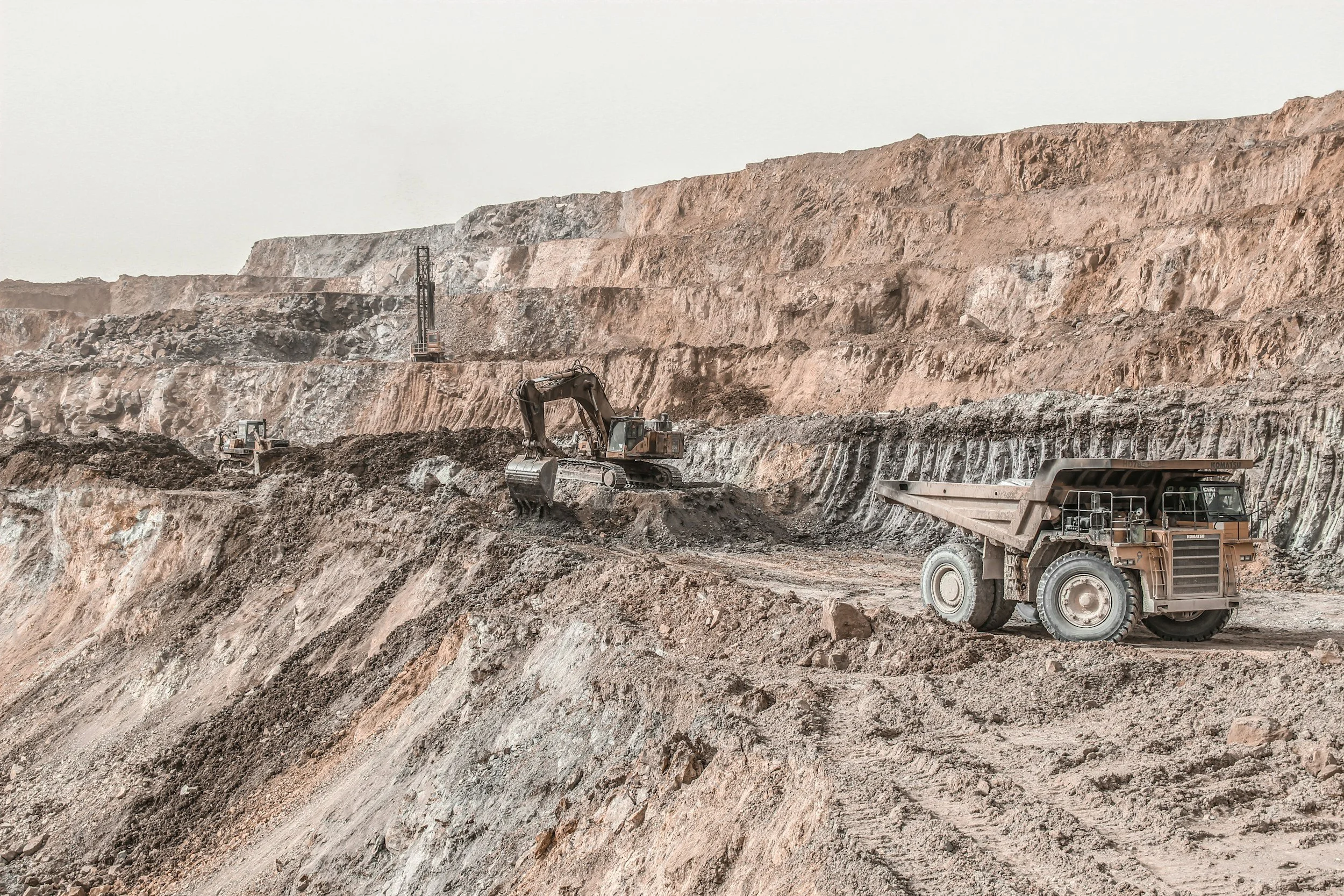
Satellite InSAR vs ground-based radar: how they work together
Satellite InSAR provides wide-area history, while ground-based radar watches selected slopes at high frequency. Learn how the two complement each other.