
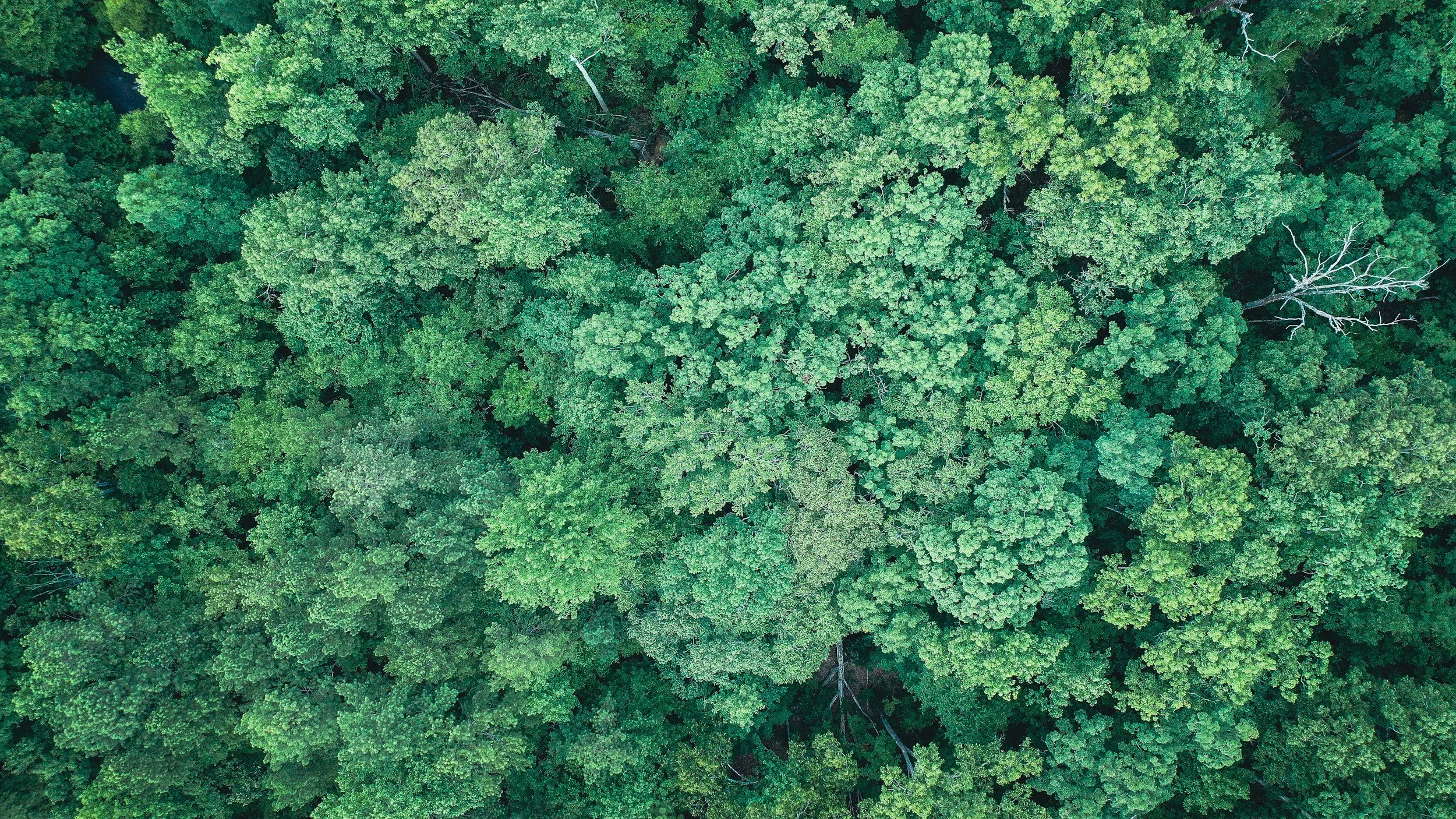
P-band radar uses longer wavelengths than the X-, C-, S- and L-band instruments familiar to most ground motion specialists. Its signal interacts with large branches and trunks inside forests, which makes it a powerful tool for understanding forest structure and carbon. It is an exciting area of radar science, and it helps to understand how it differs from the bands used for routine asset monitoring.
Why P-band is attracting attention
ESA launched its Biomass satellite in April 2025. It carries a P-band synthetic aperture radar with a wavelength of about 70 centimeters, designed to measure woody biomass and forest carbon. ESA's Biomass instrument page describes the sensor and its scientific purpose.
The mission uses advanced interferometric and tomographic techniques to study the three-dimensional structure of forests. In that context, interferometry helps estimate properties of the forest volume, which is a different goal from tracking millimeter-scale movement of a bridge, tailings facility or building over time.
What longer wavelengths can and cannot do
A longer wavelength can reach farther through a canopy, but the return still comes from many scatterers and is shaped by geometry, moisture, terrain and acquisition settings. Results are interpreted within the mission's scientific purpose.
For asset monitoring, the most important questions are whether repeated observations exist, whether the ground or structure gives a stable response and whether the results have been validated at the scale you need. Today, the established bands described in SkyGeo's introduction to InSAR meet those needs for most operational projects.
When P-band might come into the conversation
P-band is most relevant for forest science and carbon accounting. For ground motion monitoring, it becomes part of a technical discussion only where its specific advantages can be demonstrated at a site. SkyGeo keeps track of new missions so clients can benefit from them as they mature.
Frequently asked questions
-
Not currently. Its main satellite application is forest and Earth science observation. Asset monitoring typically uses X-, C- or L-band data.
-
Not in every case. Canopy structure, moisture, terrain and radar geometry all affect what contributes to the return signal.
-
It is a P-band SAR mission that uses interferometric and tomographic techniques, with forest biomass measurement as its primary goal.
Choose the right data for your monitoring
SkyGeo can recommend the radar data that best fits your monitoring objectives. Contact SkyGeo.
