
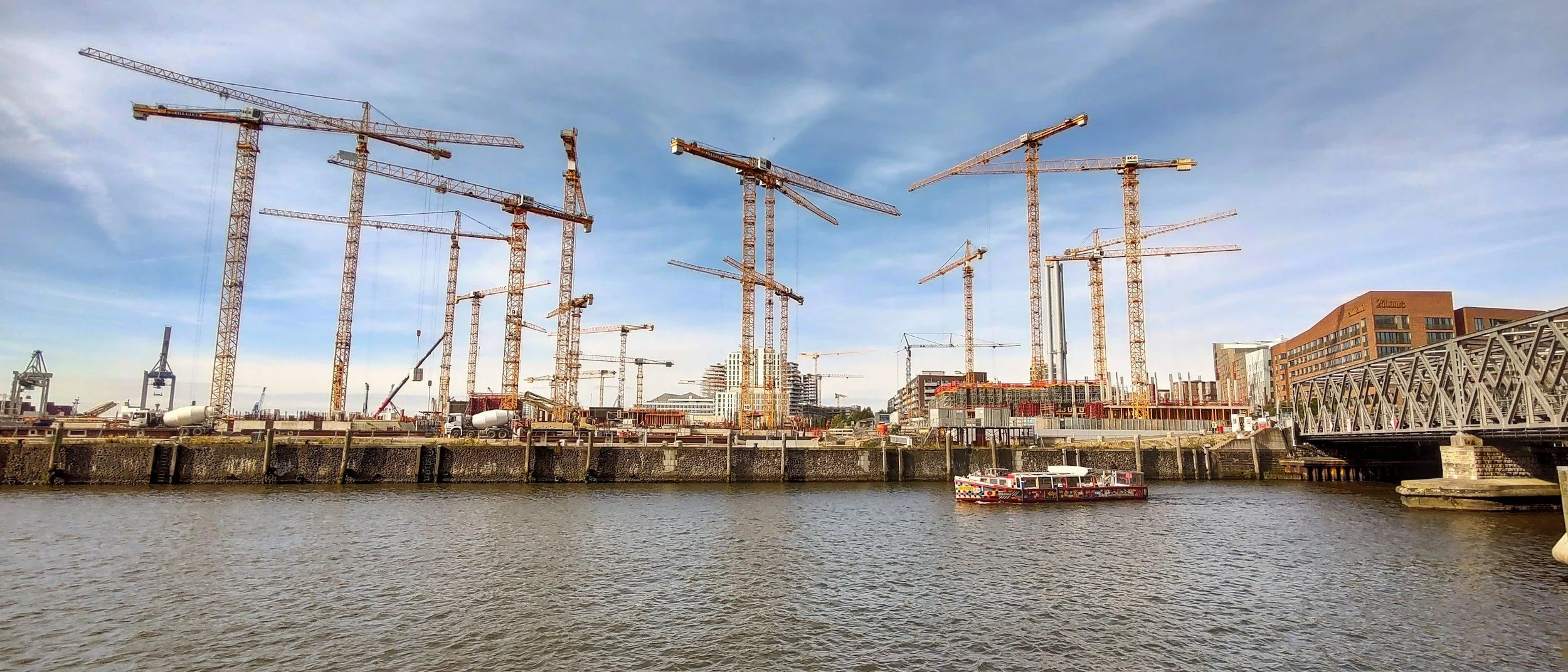
Ground movement monitoring can involve the client, contractor, designer, independent engineer and neighboring asset owners. When responsibilities are unclear, unusual movement can appear without anyone knowing who should investigate. A clear plan solves that, and InSAR adds valuable wide-area context to it, including movement history from before the works began.
Clarify the monitoring role in contracts
On a major project, the asset owner, main contractor, designer, geotechnical consultant and monitoring subcontractor may all hold different responsibilities. A monitoring plan should state who defines the question, who collects observations, who interprets results, who decides on work restrictions and who communicates with affected parties.
An effective specification assigns responsibility for baseline surveys, instruments, satellite analysis, data validation, trigger review, notification and action. Satellite data supports that plan, and structural safety decisions stay with the responsible engineer.
Design the reporting chain before the first result
Agree a responsibility matrix before works begin. Set out the affected assets, the baseline period, observation limitations, report recipients and rules for escalating a validated change. Identify project phases that need faster on-site instruments, since satellite data reports periodically.
Agree how construction dates, groundwater measurements, leveling and condition surveys will be shared with the interpreter, and keep one shared timeline of works and measurements. If the project footprint or methods change, update the monitoring specification as well.
Make sure a signal leads somewhere
A good governance test is to ask what happens when the next report shows unexpected movement near a sensitive structure. The answer should name a decision-maker, a verification step and a communication route. It should also say when no immediate action is needed because a signal is still uncertain. These details keep project delivery accountable and stop data circulating without a response. Learn more about InSAR for civil engineering and infrastructure.
Frequently asked questions
-
Movement around the site and neighboring structures, plus the history of that movement before works began.
-
Contractual monitoring responsibilities, surveys, instruments and work logs.
-
No. Satellite data reports periodically, so rapidly developing hazards are controlled with on-site instruments.
-
Yes. Define separate schedules for the pre-construction baseline, active works and post-construction monitoring.
-
Agree the monitoring decision matrix before the contractor mobilizes.
