
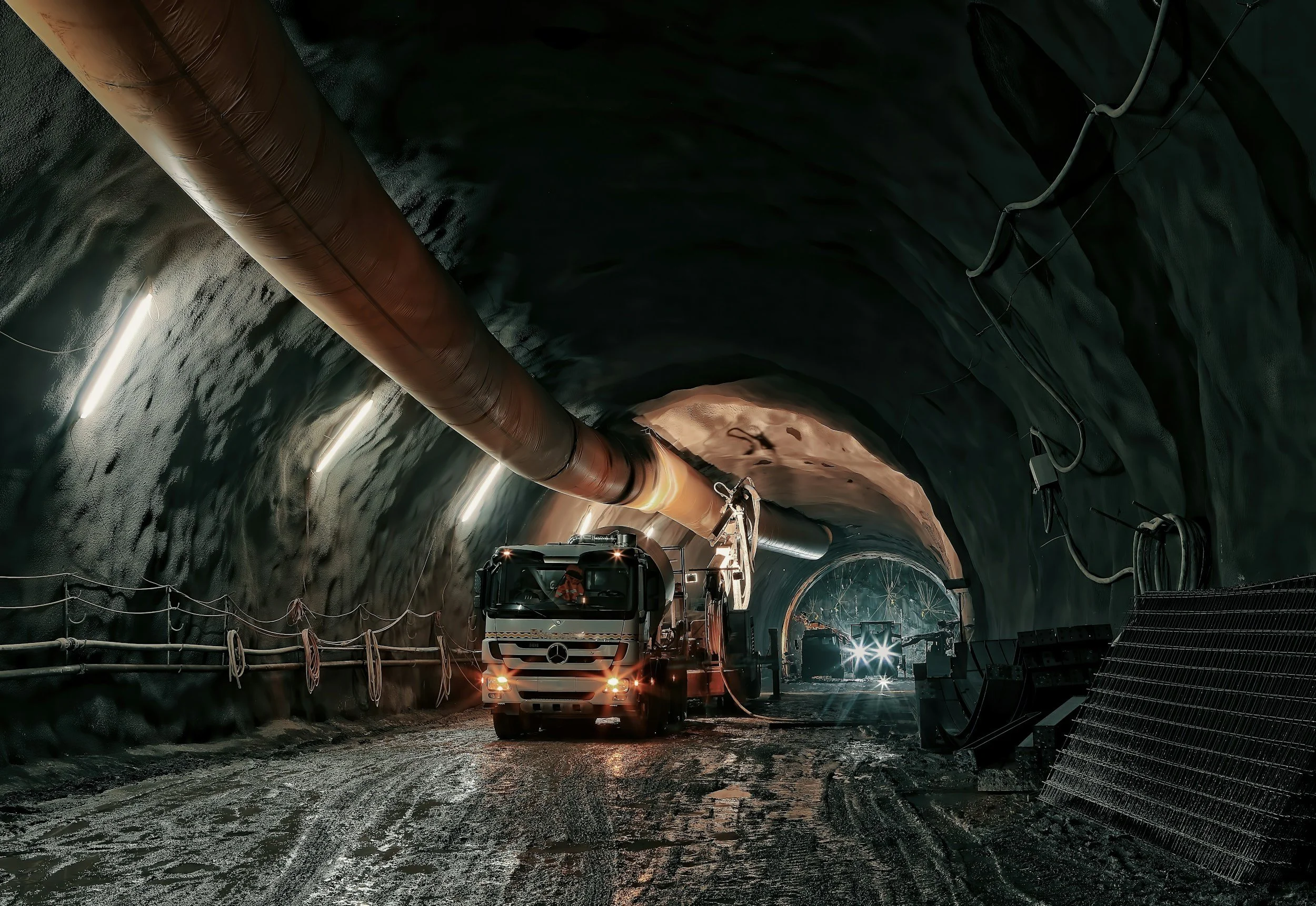
Why satellite settlement data is easy to misinterpret during tunneling and construction
Common mistakes when using InSAR settlement data on tunneling and construction projects, from late baselines to roof points and alarm expectations.
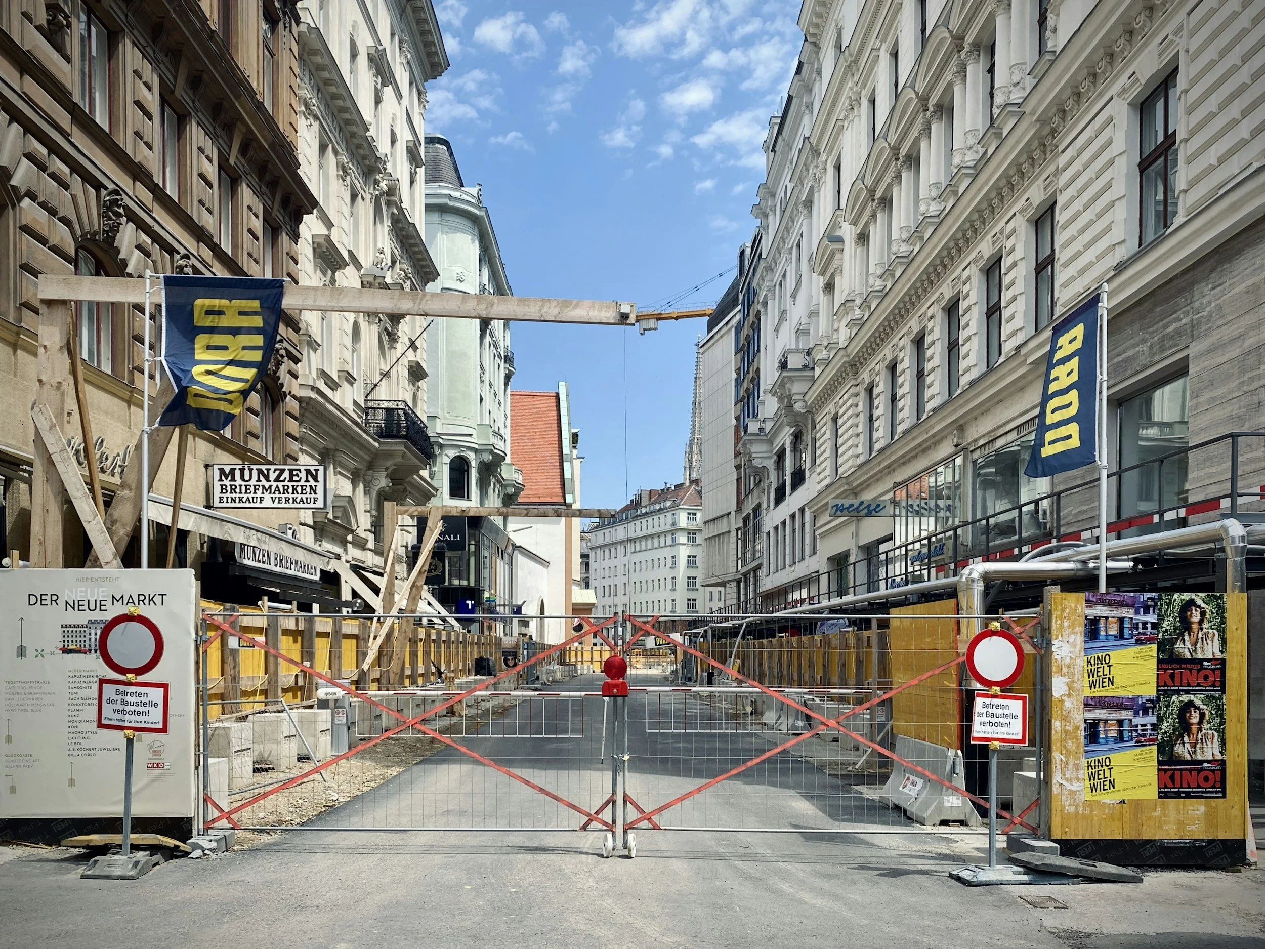
Establishing a pre-construction ground movement baseline with satellite InSAR
How historical InSAR documents ground and building movement before excavation, tunneling or dewatering begins, and how to keep the baseline useful.
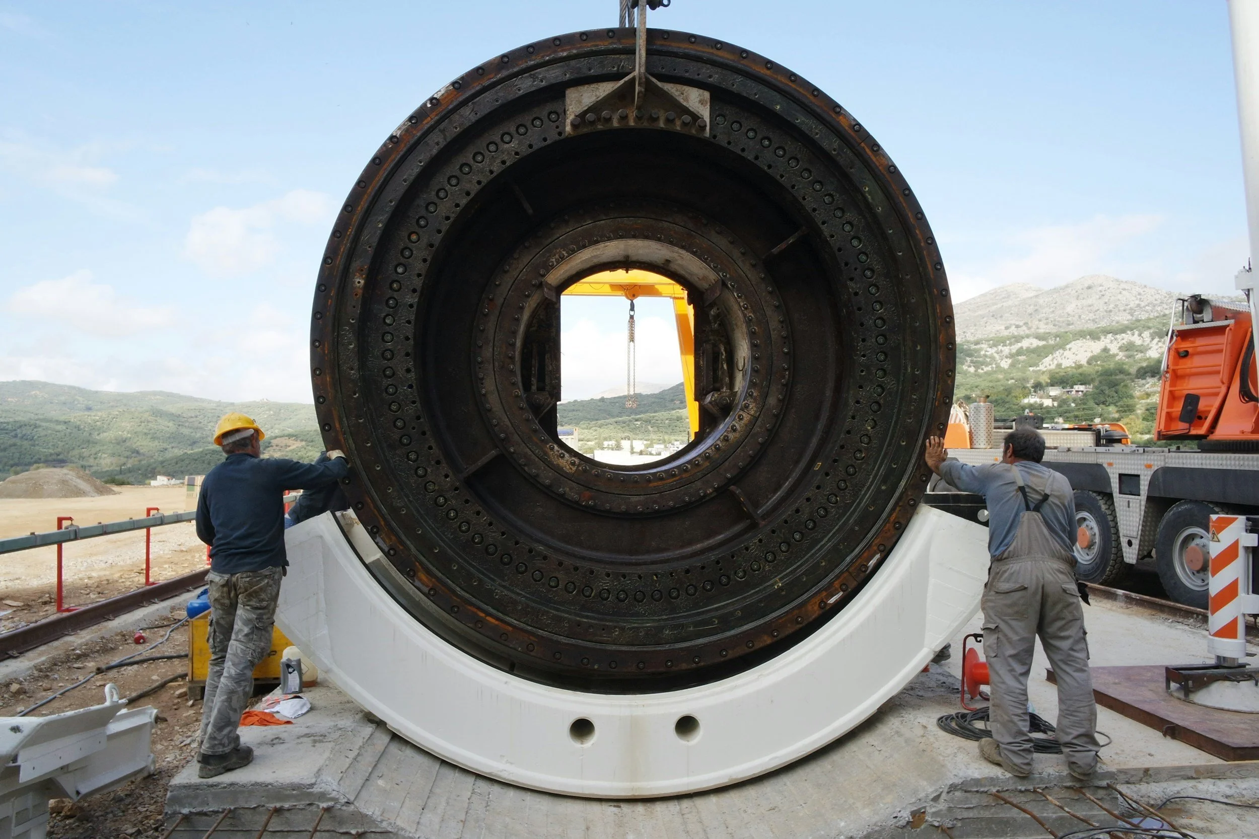
How InSAR complements tunnel and construction settlement monitoring
Historical and ongoing InSAR settlement data adds a wide-area view to prisms, leveling and GNSS on tunneling and major construction projects.