
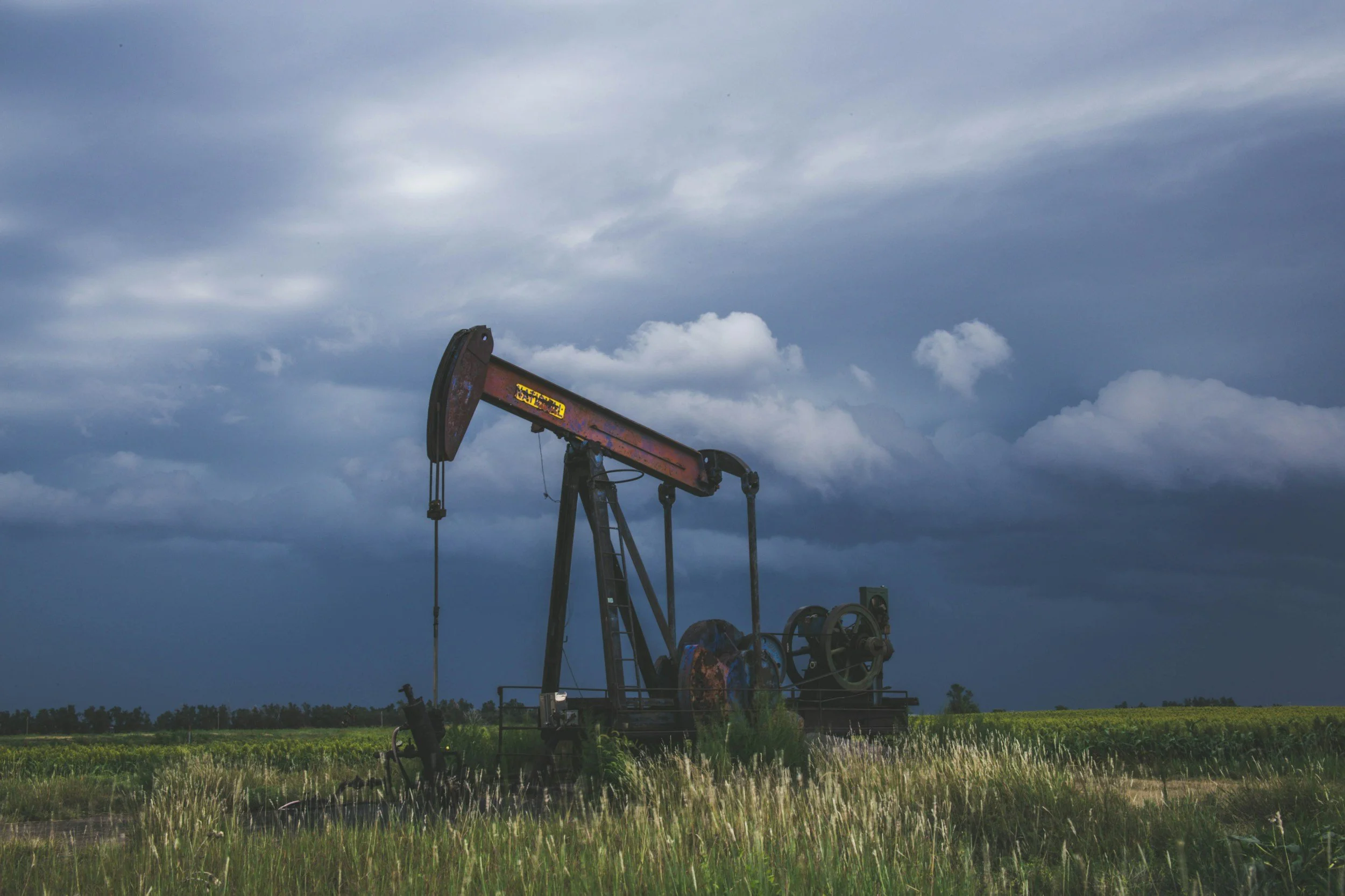
Why InSAR uplift and subsidence maps can mislead oil and gas operators
An uplift map is not an image of underground pressure. Common pitfalls when oil and gas operators interpret InSAR uplift and subsidence data.
An uplift map is not an image of underground pressure. Common pitfalls when oil and gas operators interpret InSAR uplift and subsidence data.