
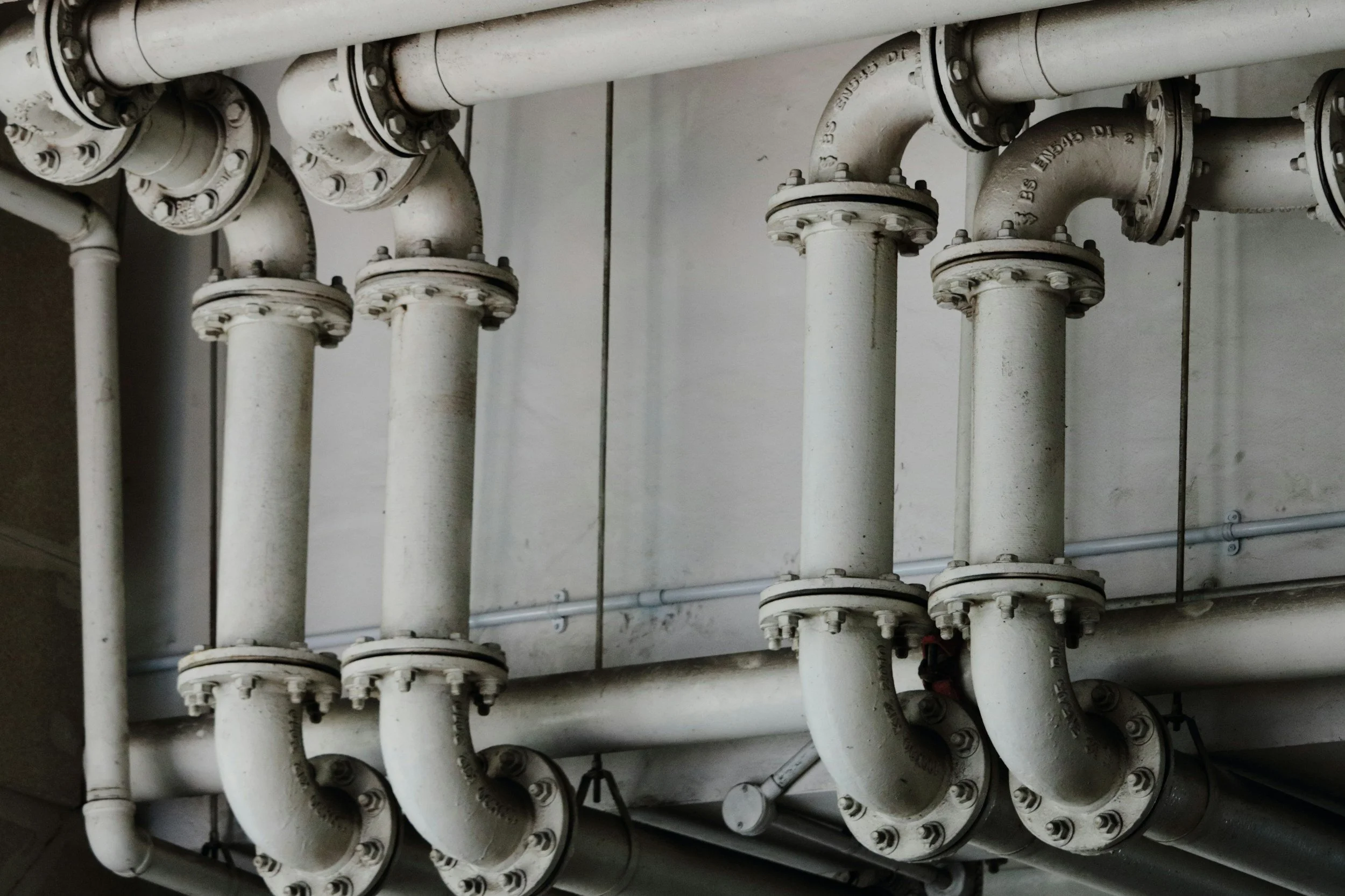
Misinterpreting InSAR at carbon storage sites: surface movement is not proof of containment
Why InSAR results at carbon storage sites are easy to misread, why no signal is not proof of containment, and how InSAR fits into MMV.
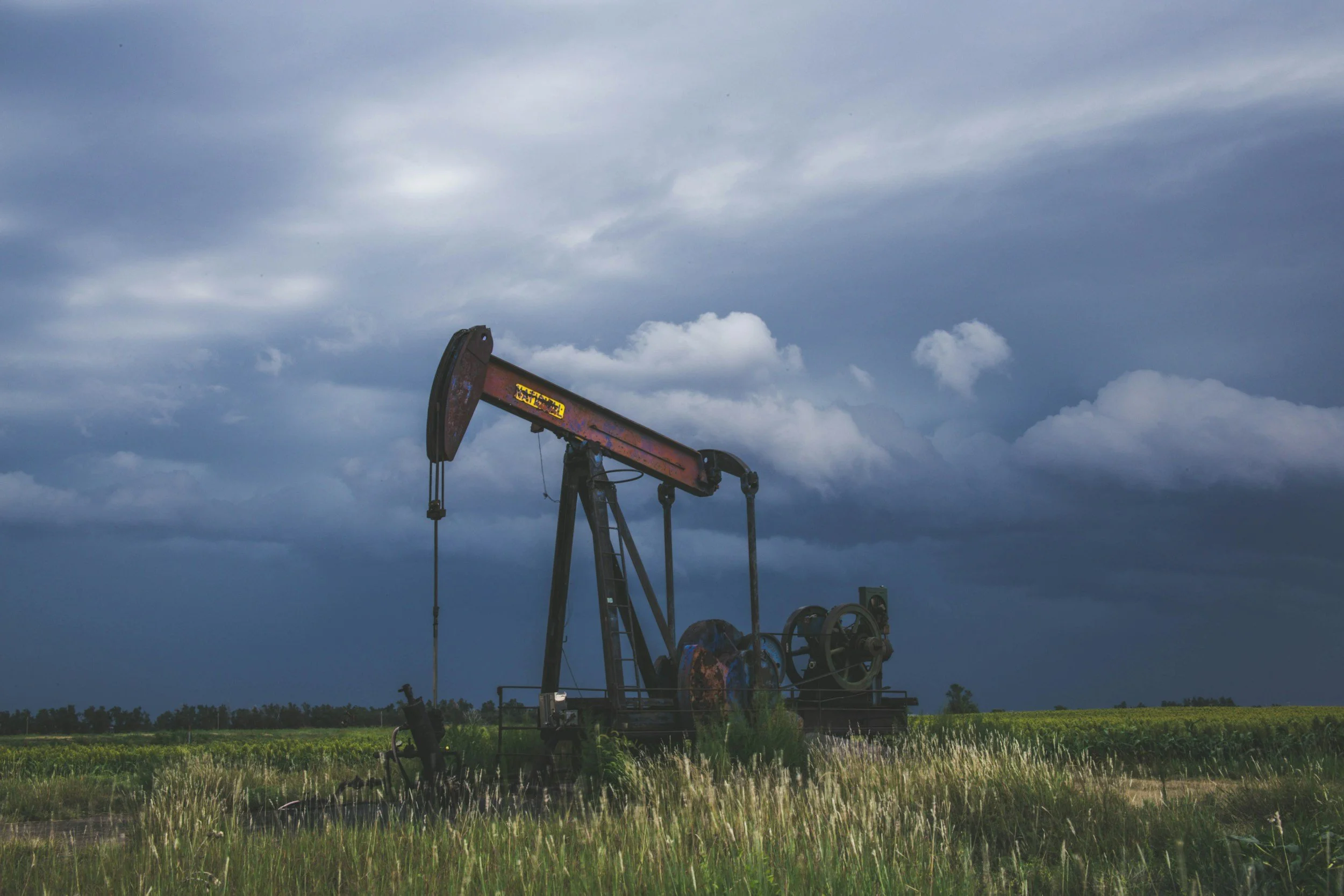
Why InSAR uplift and subsidence maps can mislead oil and gas operators
An uplift map is not an image of underground pressure. Common pitfalls when oil and gas operators interpret InSAR uplift and subsidence data.
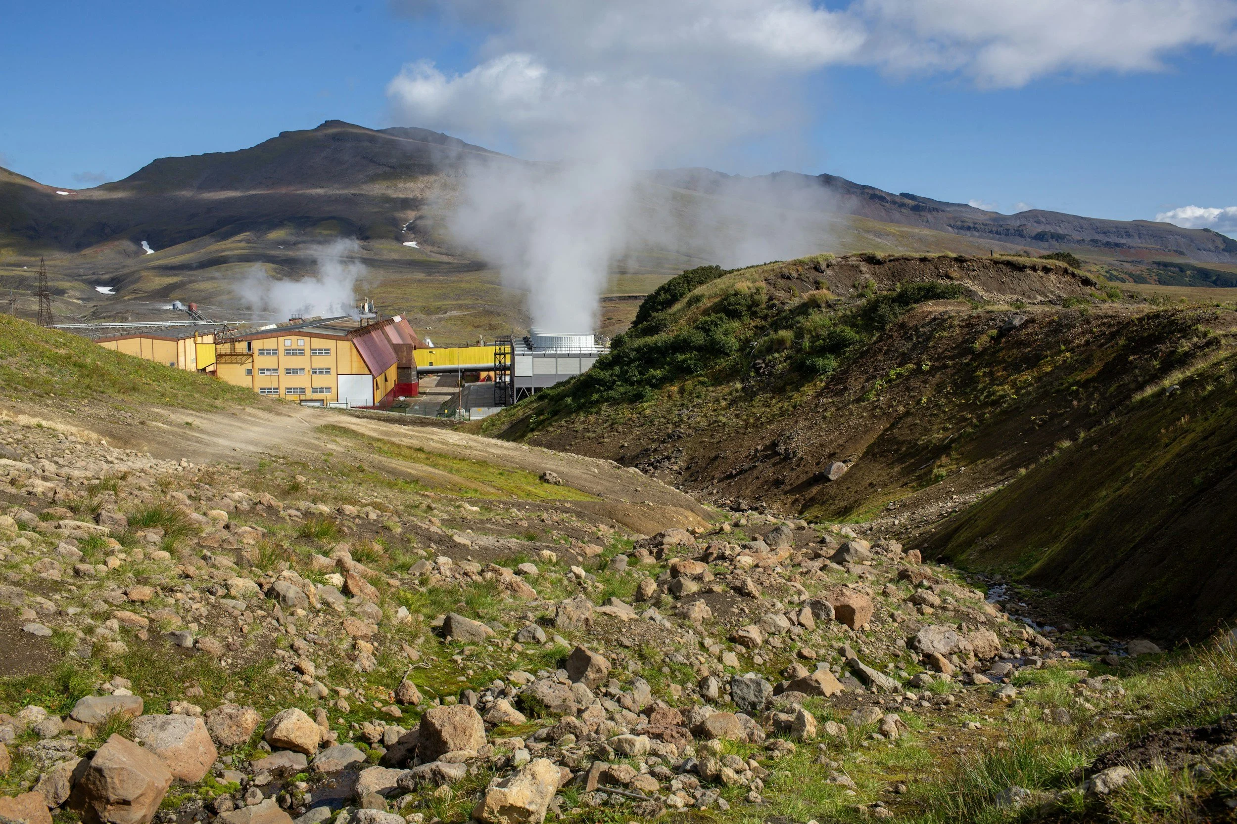
Can InSAR support geothermal reservoir monitoring?
How geothermal operators can interpret InSAR uplift and subsidence alongside production, reinjection, pressure and well records.
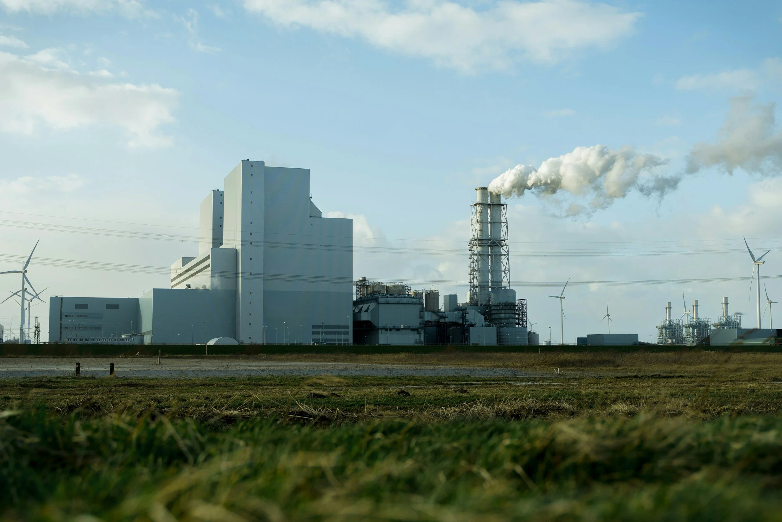
What can InSAR prove about CO2 storage, and what can it not prove?
What InSAR can and cannot establish at CO2 storage sites, how to test detectability first, and where surface deformation fits in an MMV plan.
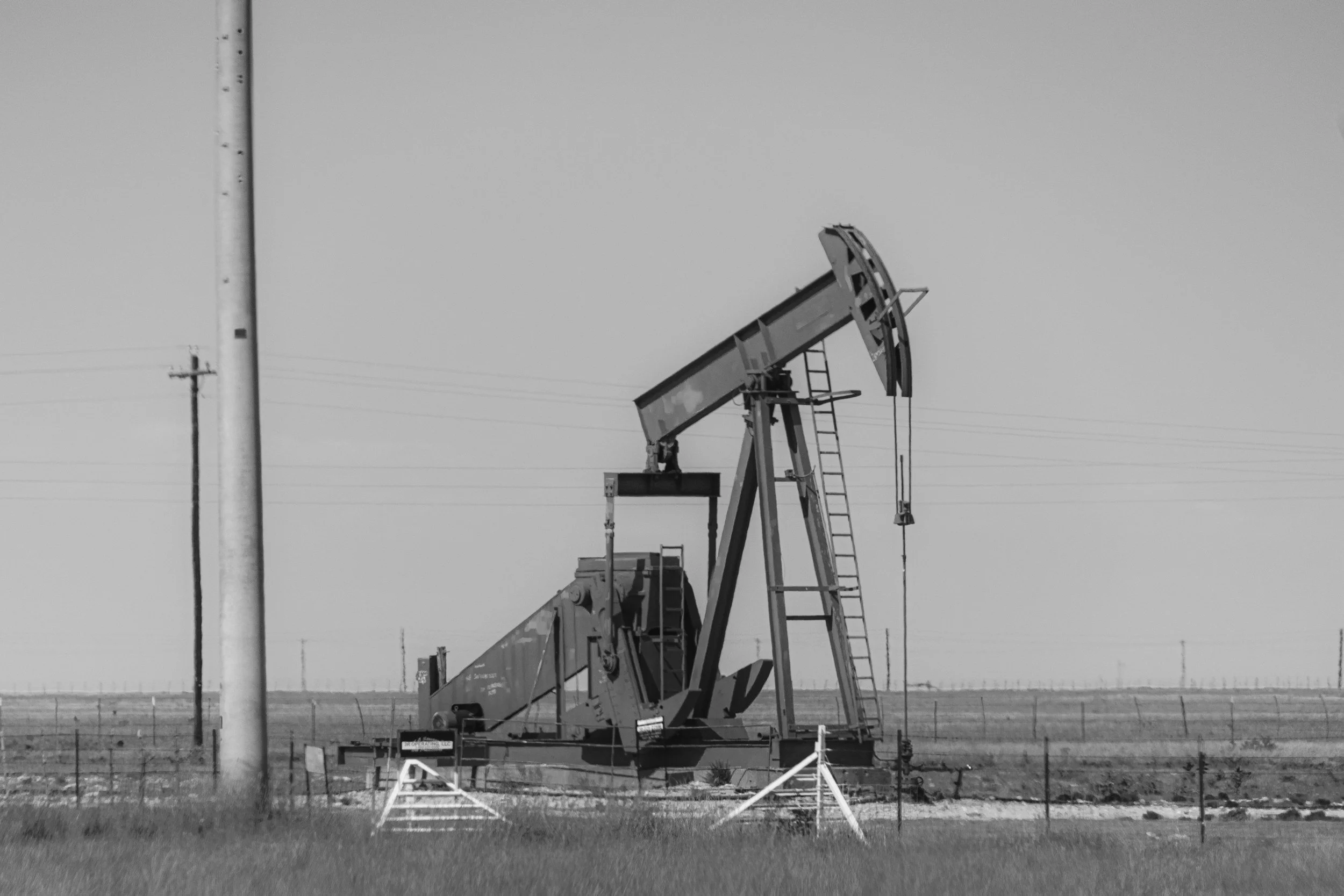
What surface uplift means for produced water disposal in the Permian Basin
What InSAR uplift and subsidence patterns in the Permian Basin can and cannot tell operators about produced water disposal, pressure and seismicity.
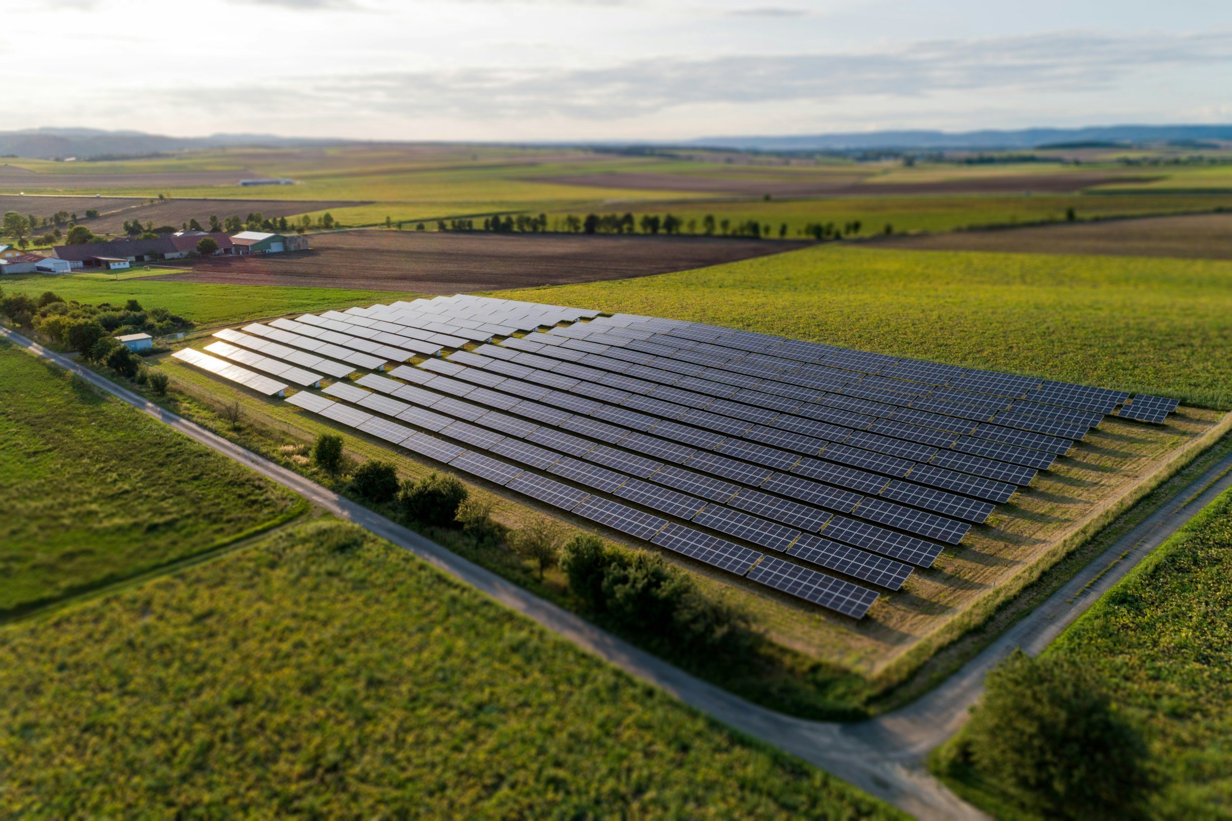
Solar farm ground settlement: how InSAR can support site and access monitoring
How InSAR can help solar farm owners monitor ground settlement around arrays, substations and access roads, and what it cannot tell you about panels.

Wind farm foundation movement: when satellite InSAR can support ground monitoring
How InSAR can monitor ground movement around onshore wind farms, access roads and hardstanding, and why offshore turbines are a different challenge.

Offshore platform stability and satellite InSAR: what can actually be measured?
What satellite InSAR can and cannot measure on offshore platforms and coastal energy infrastructure, and why feasibility checks come first.
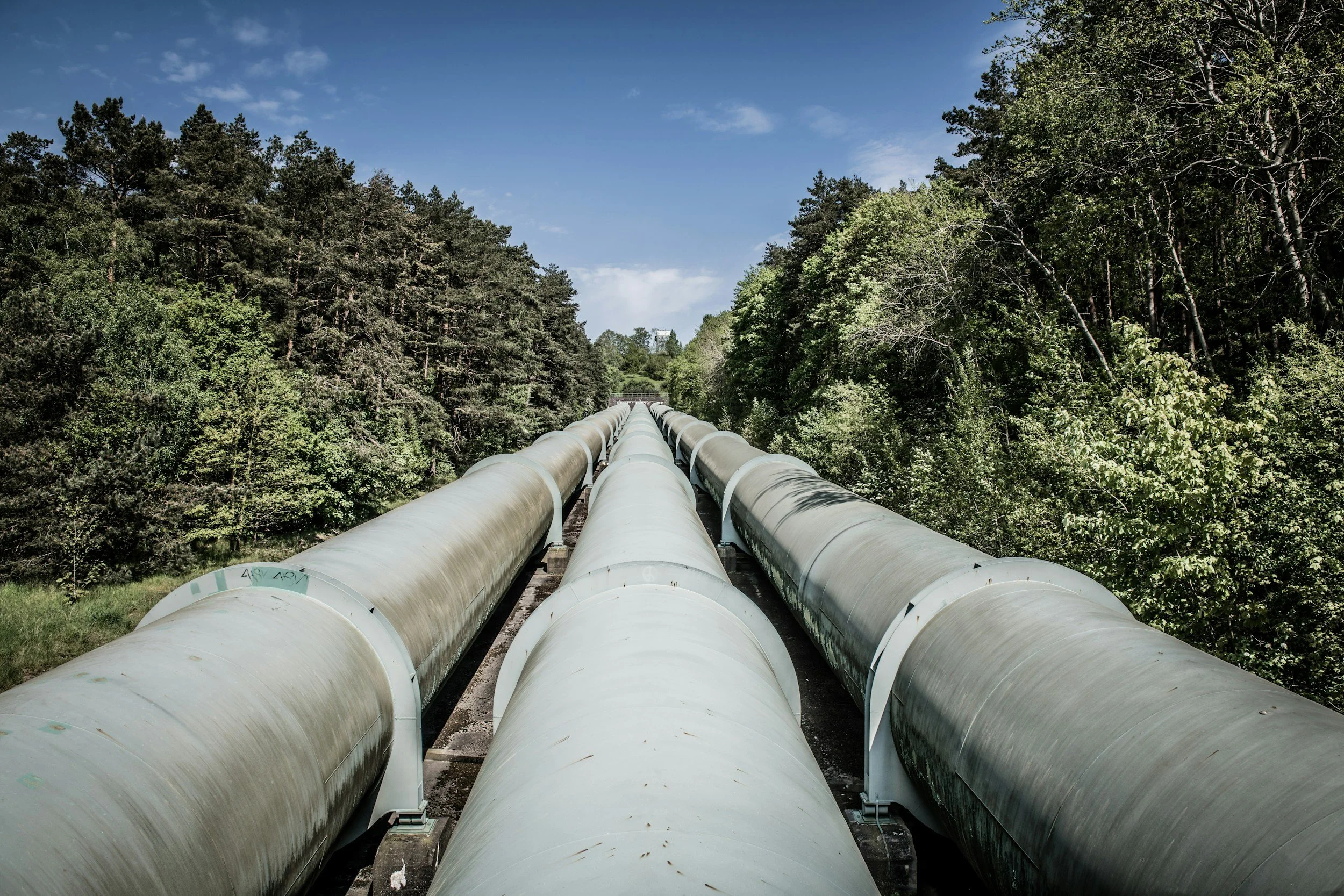
Pipeline corridors and ground deformation: using InSAR for network screening
How pipeline operators use InSAR to screen long corridors for settlement, uplift and slope movement, and how it fits into integrity management.

How InSAR complements monitoring at carbon storage sites
InSAR measures surface deformation before and during CO2 injection, adding an independent, wide-area evidence stream to carbon storage monitoring plans.
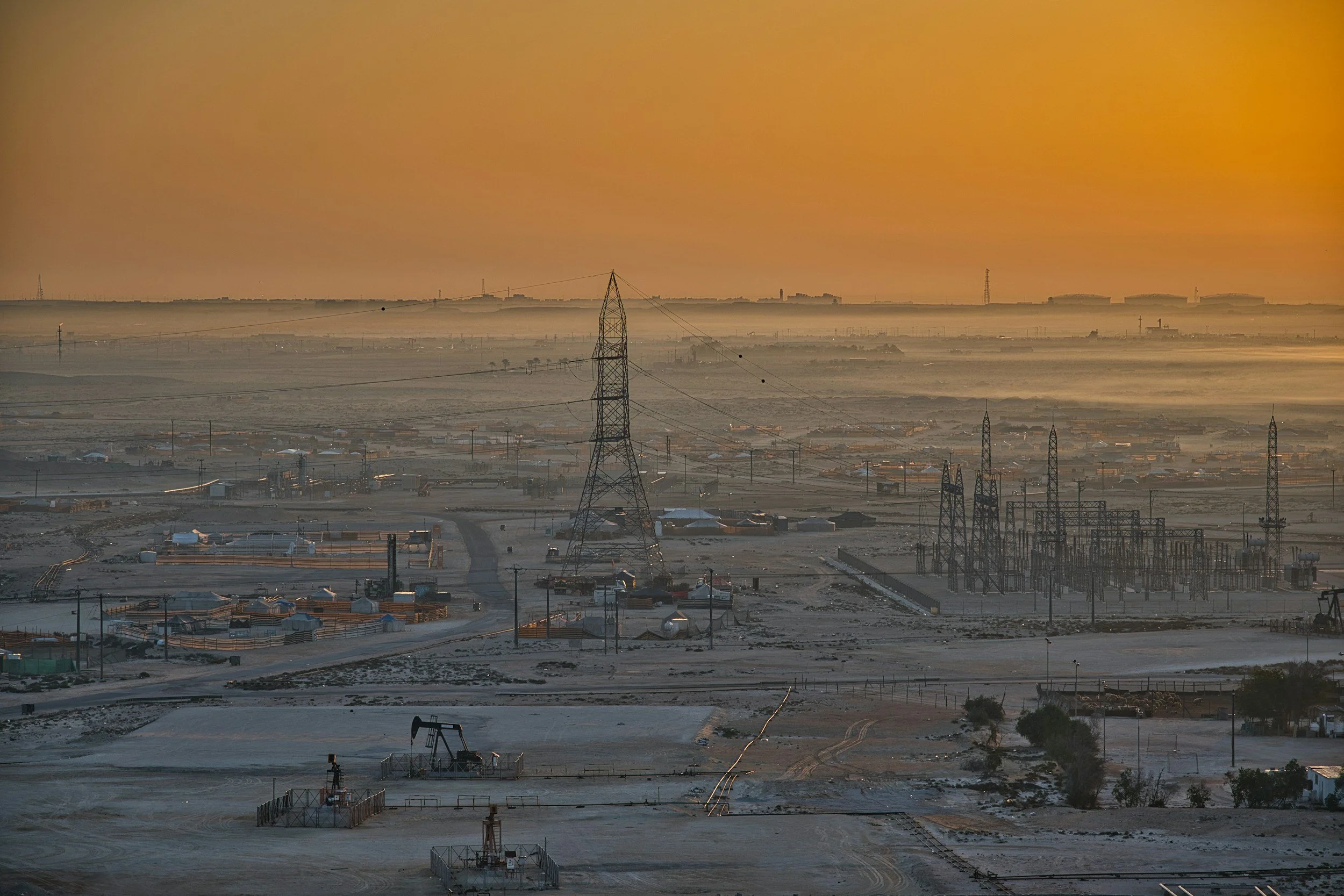
How InSAR complements oil and gas field monitoring
Satellite InSAR maps uplift and subsidence across oil and gas fields, disposal areas and pipeline corridors, complementing reservoir and well monitoring.