
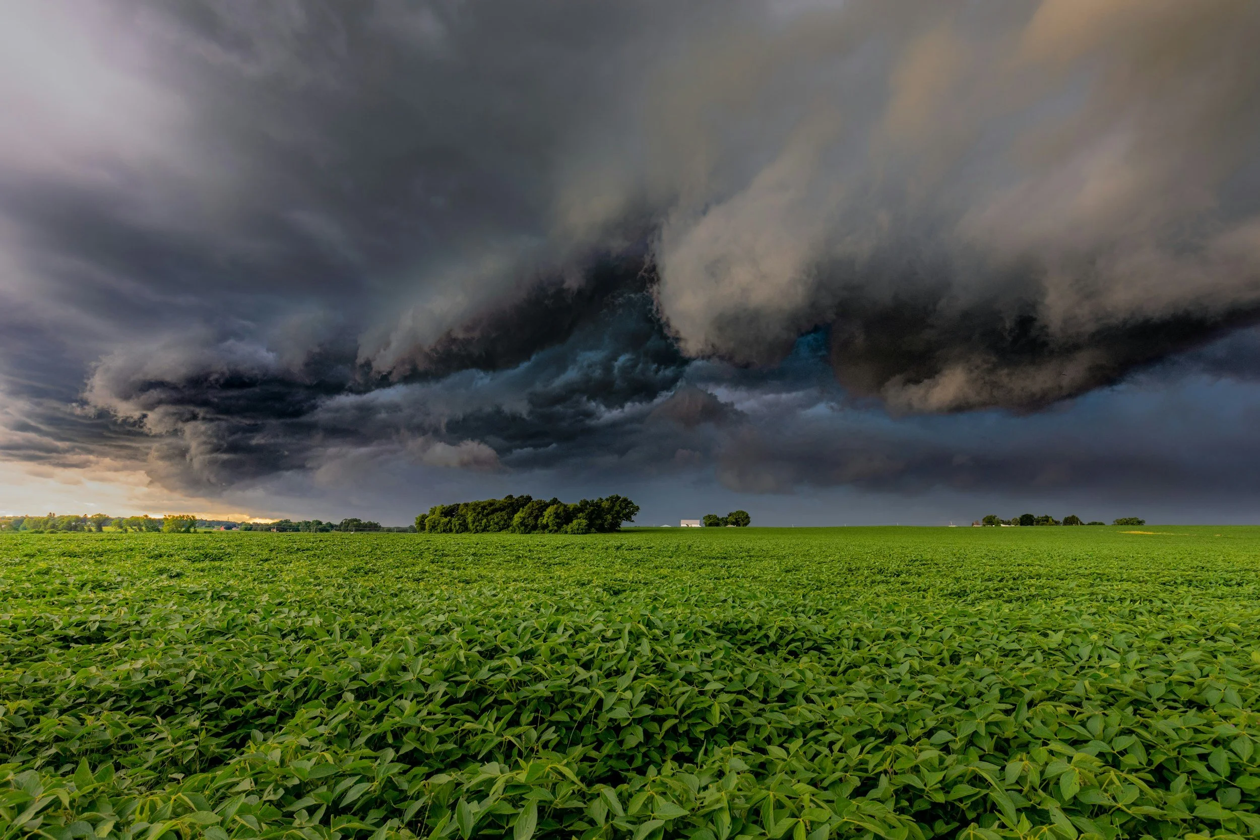
InSAR delivers reliable measurements in a wide range of conditions, but rainfall, vegetation, land use and earthworks can change how a target reflects radar between satellite acquisitions. Some changes add noise to a time series, while others remove usable measurements altogether. A credible monitoring service has specialists who recognize these effects and report them openly, so users don't mistake a data gap or anomaly for evidence of stable or unstable ground.
Clouds are not the main weather limitation
Unlike optical satellites, SAR does not depend on sunlight and can usually acquire data through clouds. However, water vapor in the atmosphere can affect how long the radar signal takes to travel, and changes in soil moisture or rainfall can alter the reflecting surface. Neither effect is ground displacement. Processing and time series quality checks reduce these problems, and uncertainty assessment covers what remains. You can read more about how the method works in SkyGeo's introduction to InSAR.
Vegetation and seasonal patterns
Leaves, crops and branches move and change between observations, which can reduce coherence, especially when the reflection changes quickly. Seasonal ground movement can also be real, for example due to soil moisture or temperature, so a repeating annual pattern is not necessarily a data error. Analysts need to separate noise, recurring displacement and a developing long-term trend, rather than labeling every deviation as a hazard.
Construction and mining create moving targets
Excavation, filling, resurfacing and demolition change the reflecting objects themselves. A new roof or freshly exposed rock may provide good targets from a certain date onward, but it cannot be compared with the earlier record. A mine bench may be measurable until it is reworked. Reports should distinguish the end of a measurement history from a real movement event, and explain whether new observations can start with a different reference or time period. You can find more technical detail in SkyGeo's scientific papers library.
Use a quality-first review workflow
Before a trend reaches an engineer, an analyst should check coherence, target persistence, nearby measurements, acquisition dates and possible atmospheric artifacts. Independent rainfall, groundwater and operational records can help explain observed patterns, although they do not prove cause. Missing values should remain visible in exported data and charts. Interpolation must never quietly create what looks like a continuous safety record.
Questions for decision-makers
Asset managers should ask how much of the critical ground is actually monitored, how the service flags uncertain or missing readings, and what happens when an important area can no longer be observed. SkyGeo's InSAR analysts state the confidence level and recommend the next investigation step, so coverage and reliability are always clear.
Frequently asked questions
-
Usually, yes. But InSAR can still be affected by atmospheric conditions and changes to the reflecting surface. Seeing through cloud is not the same as error-free displacement measurement.
-
The original reflective targets may have been removed or altered, which breaks the continuity of the radar phase history.
-
Not necessarily. Check data quality, neighboring points and the wider context before interpreting a spike as a real displacement event.
