
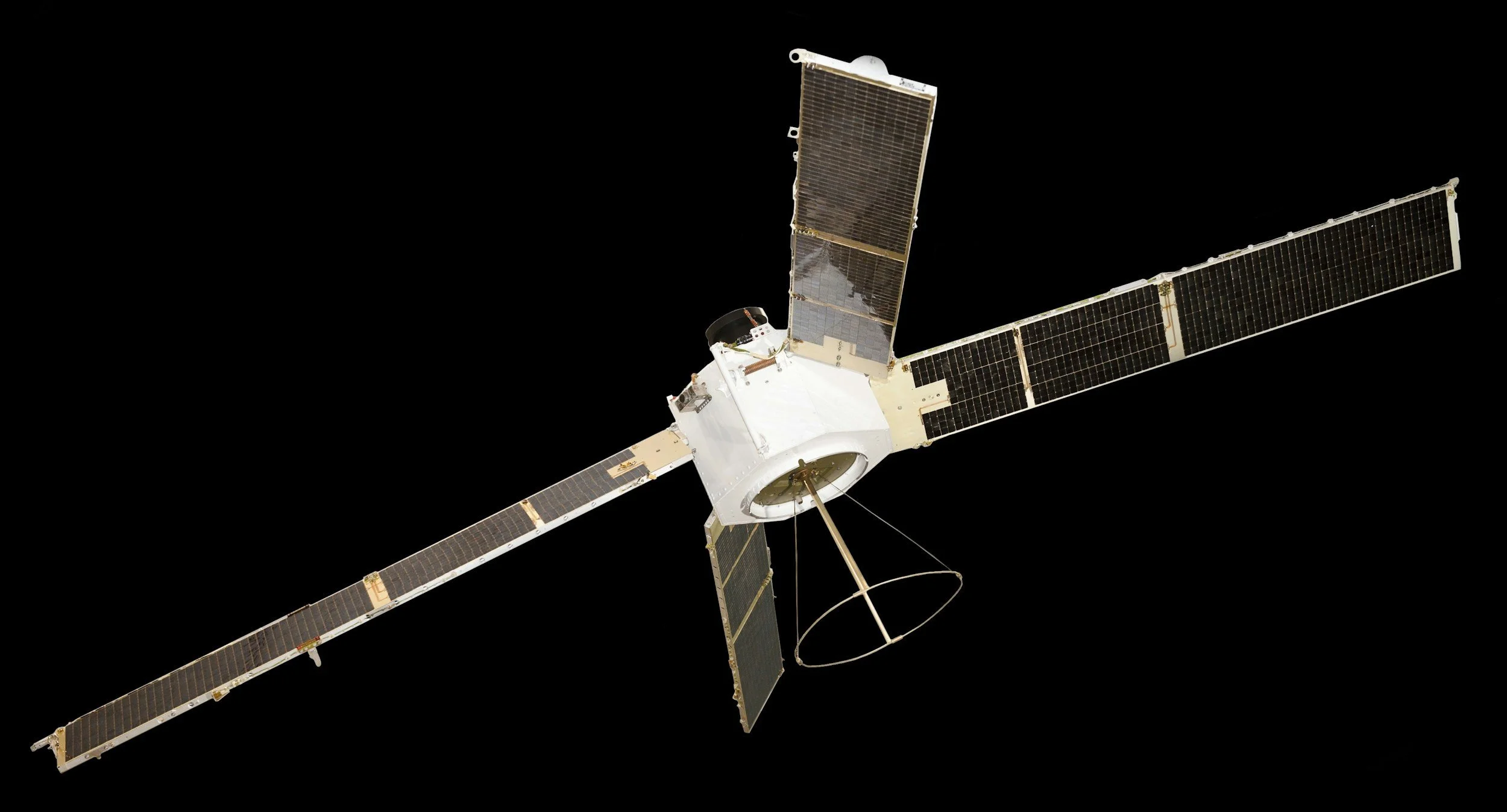
There is no single "InSAR satellite." Many satellites carry synthetic aperture radar (SAR) instruments, and their repeated observations can be used for interferometry. Together, they give InSAR specialists a rich choice of data. Here is a guide to the main missions and how they fit different monitoring needs.
Key missions by radar band
C-band: Sentinel-1. ESA's Sentinel-1 mission provides systematic, free and open C-band coverage with a nominal six-day interferometric repeat cycle when two satellites are operating. Its long, consistent archive makes it one of the most widely used sources for InSAR. See ESA's Sentinel-1 facts and figures.
L- and S-band: NISAR. The joint NASA-ISRO mission launched in July 2025 with L-band and S-band radar. The two bands have different acquisition and distribution arrangements, described on NASA's NISAR page.
L-band: ALOS-2 and ALOS-4. JAXA's satellites carry PALSAR-2 and PALSAR-3 L-band radars, valuable for vegetated terrain and deformation studies. See JAXA's ALOS program.
X-band: TerraSAR-X and COSMO-SkyMed. These missions provide high-resolution X-band imagery suited to detailed monitoring of structures and industrial sites. See DLR's TerraSAR-X page and ASI's COSMO-SkyMed overview.
P-band: Biomass. ESA's Biomass satellite focuses on forest biomass research rather than routine asset monitoring. See ESA's Biomass mission.
Many other commercial and national SAR missions are also in orbit, and the list grows every year. This guide covers a selection of widely used ones.
Matching the mission to the site
A satellite's value for your project depends on whether it has repeated acquisitions over your site, whether the surfaces there stay coherent, and on licensing, geometry, revisit and archive depth. Ask your provider which observations they will actually use for your assets.
SkyGeo selects data from across these missions to suit each project. Our introduction to InSAR explains how imagery and processing choices work together to produce reliable results. For more on how wavelength affects results, see X-, C- and L-band InSAR.
Frequently asked questions
-
No. InSAR uses repeated images from SAR satellites, and many missions provide suitable data.
-
Not necessarily. Repeat geometry, acquisition history, coherence and data access all need checking, which is part of a feasibility assessment.
-
No. The missions use different instruments and observation plans, and they complement each other.
Get the best data for your assets
SkyGeo can identify which satellite missions offer the strongest coverage for your site. Contact SkyGeo.
