
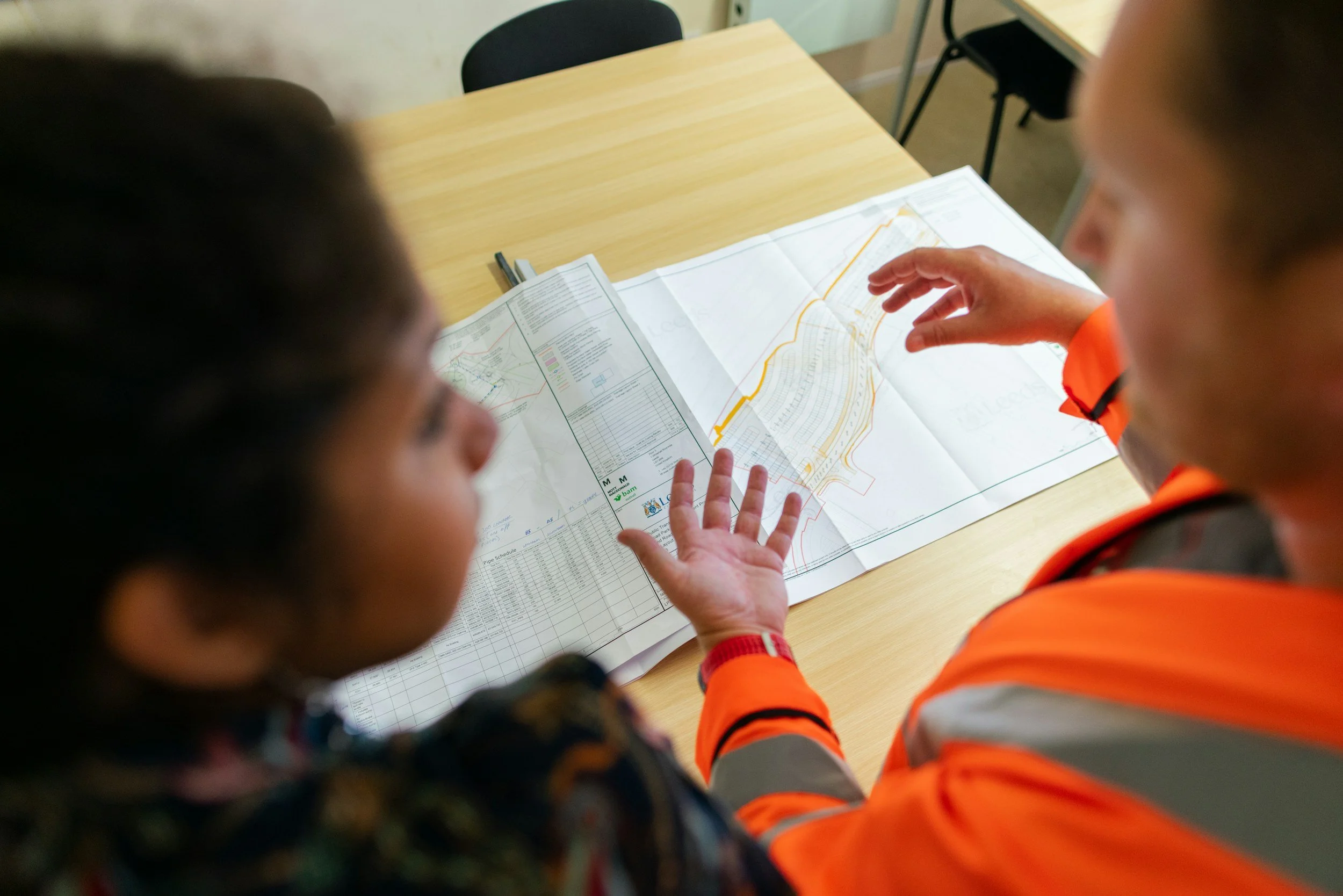
Engineers and asset managers see different parts of the same risk picture. Engineers need measurements to test mechanisms and model assumptions. Asset managers need a clear reason to inspect, repair or defer spending. InSAR connects the two by providing an interpretable record of how surfaces have moved, across whole networks and often back many years.
What engineers gain from a movement history
A single survey describes one point at one moment. Repeated satellite observations add context: whether neighboring ground has been moving, whether there is differential settlement and how that pattern has changed. The USGS explains the value of dense, wide-area observations alongside more specialized measurements.
That history is useful at the start of design studies, during construction and when investigating an unexpected defect. Combined with local geology, drainage, loads and field measurements, it helps engineers judge whether a trend is relevant to a design assumption.
Questions asset managers should ask
Does the movement affect a critical component or nearby ground? Is the rate changing? How confident is the estimate? Has the area been moving for years? What would a site visit establish? Clear answers to these questions are far more useful than a simple red-and-green map.
The Stedin case study shows how satellite deformation data was connected to real network decisions, helping a utility prioritize its inspection work.
Getting the handover right
InSAR results are usually expressed along the satellite's line of sight and relative to a reference point. An asset owner may read a number as total vertical settlement, while the design team cares about differential movement across a structure. Agreeing on terminology, reference and confidence levels upfront makes the results easy to use for everyone.
A good report links observations to an asset map, shows where data is available, provides time series for relevant locations and explains what further investigation would answer the main question. SkyGeo's FAQ explains why professional interpretation is central to this.
Frequently asked questions
-
It provides important movement evidence, which engineers assess together with structural behavior, condition, loading and relevant standards.
-
Yes. In many cases it reveals ground movement patterns before visible damage appears, giving owners time to investigate.
-
Time series, viewing geometry, coverage, quality measures and a clear explanation of which decisions the results support.
Bring InSAR into your engineering workflow
SkyGeo delivers movement data in a form engineers and asset managers can use. Contact SkyGeo.
