
SkyGeo brings InSAR closure insights to ACG Mine Closure 2025
At the ACG Mine Closure 2025 conference in Luleå, Sweden, SkyGeo contributed a practical perspective on how satellite-based deformation monitoring can support safer, more transparent mine closure. The event, held from 23–25 September 2025, brought together operators, consultants and regulators to discuss the complex technical, environmental and social dimensions of closing mines responsibly.
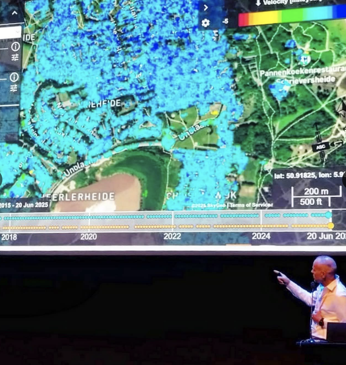
SkyGeo Pieter Bas Leezenberg presenting at the ACG Mine Closure 2025
SkyGeo CEO Pieter Bas Leezenberg and InSAR Mining Consultant Iason Gkikas presented how decision-grade InSAR and deformation analytics extend geotechnical oversight beyond the end of production. Rather than treating closure as a cut-off point, they showed how satellite time series can continue to track tailings dams, pit slopes and waste facilities for decades, revealing millimetre-scale movements across entire footprints. This persistent view underpins a more proactive approach to geotechnical risk management at and after closure.
A central theme of the session was prioritisation. By mapping where ground motion is changing most rapidly, InSAR helps closure teams distinguish stable areas from those where conditions are evolving, and focus remediation budgets and investigations accordingly. When interpreted alongside in-situ sensors, water-level measurements and historic design models, the satellite record becomes a common reference frame for engineers, planners and stakeholders to test assumptions and refine long-term closure plans.
The discussion in Luleå underscored that safe closure is not achieved by simply fencing off a site once operations stop. It depends on maintaining a line of sight on how landforms, tailings and infrastructure continue to behave over time, and on having defensible evidence when conditions change. SkyGeo’s work with mining clients shows that integrating InSAR into closure strategies strengthens this long-term monitoring envelope and supports more timely, well-substantiated decisions.
For attendees who joined the session and want to explore the details behind SkyGeo’s interpretation workflows—how mm-scale signals are translated into closure actions and reporting—SkyGeo’s mining team is available to continue the conversation and discuss specific site challenges.