
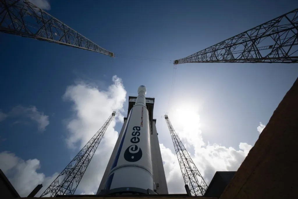
Time to celebrate: we have a new Copernicus Sentinel-1 satellite in orbit
Sentinel-1C Launch: A Milestone for Earth Observation and SkyGeo’s Services
The successful launch of Sentinel-1C aboard the Vega-C rocket marks a major milestone in Earth observation, reaffirming Europe’s leadership in space technology and independent access to orbit. This addition to the Sentinel-1 mission, part of the Copernicus programme, provides advanced radar imaging capabilities that empower industries, researchers, and governments worldwide. For SkyGeo, Sentinel-1C represents an opportunity to enhance the precision and reliability of our InSAR-based geospatial solutions, driving safety and sustainability across key industries.
Sentinel-1C: Pioneering New Capabilities
Sentinel-1C builds upon the legacy of Sentinel-1A and Sentinel-1B, ensuring data continuity while introducing innovative features. One of its most notable enhancements is its ability to monitor maritime traffic, expanding the scope of radar imagery applications to include sectors like shipping and coastal management.
At SkyGeo, this advanced capability strengthens our ability to monitor coastal and port infrastructure, ensuring critical facilities are safeguarded against environmental risks. For industries reliant on waterway operations, the combination of SkyGeo’s expertise and Sentinel-1C’s data offers unparalleled insights to manage risks effectively.
Europe’s Independent Access to Space
The launch of Sentinel-1C and the return-to-flight of Vega-C highlight Europe’s dedication to securing independent access to space. This achievement ensures consistent, high-quality radar imagery streams for Earth observation missions.
For SkyGeo, this independence translates into reliable data streams for our ground deformation monitoring services, which are critical for industries like mining, oil & gas, and civil engineering. The continuity of data flow enables our clients to conduct long-term risk assessments, ensuring operational safety and efficiency.
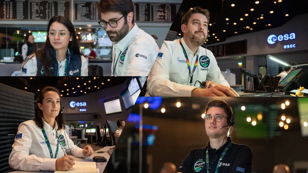
We extend our heartfelt thanks to the European Space Agency (ESA), the European Commission, and the many dedicated teams across Europe who worked tirelessly to ensure the successful launch of Sentinel-1C. Their collaboration, technical expertise, and unwavering commitment have made this achievement possible. We also recognize the contributions of Thales Alenia Space and Telespazio, whose innovations in satellite development and operations play a critical role in advancing Earth observation.
Supporting Global Challenges with Copernicus
Sentinel-1C continues to play a vital role in addressing global challenges, including:
Monitoring polar ice and tracking climate change.
Detecting landslides and ensuring infrastructure safety.
Supporting disaster response through real-time data for decision-making.
SkyGeo integrates these datasets into our InSAR-based solutions, empowering clients to mitigate risks and optimize their operations. Whether monitoring tailings dams or assessing urban subsidence, our solutions are bolstered by Sentinel-1C’s ability to deliver high-resolution, all-weather, day-and-night radar imagery.
Enhancing SkyGeo’s Data Continuity
As part of the Sentinel-1 mission, Sentinel-1C ensures data continuity disrupted by the early retirement of Sentinel-1B. For SkyGeo’s clients, this means a seamless alignment of historical and real-time data for comprehensive ground deformation analysis. The ability to track long-term trends and respond to emerging risks is now stronger than ever.
Below Images show the accuracy of our data, thanks to Sentinel 1
SkyGeo: Harnessing Sentinel-1C for Industry Solutions
At SkyGeo, we specialize in translating InSAR radar data into actionable insights for industries worldwide. The launch of Sentinel-1C enhances our capacity to deliver precise geospatial solutions that safeguard assets, optimize operations, and support sustainability.
Discover how Sentinel-1C strengthens our commitment to empowering industries with cutting-edge technology: Learn more about SkyGeo’s InSAR solutions.
The launch of Sentinel-1C represents a leap forward for Earth observation and geospatial monitoring. For SkyGeo and our clients, this milestone reinforces our ability to deliver innovative, reliable, and actionable solutions for industries navigating complex challenges.
Stay connected with SkyGeo for updates on how Sentinel-1C transforms our services: Follow us on LinkedIn.
All Photo Credits & Copyrights belong to ESA