
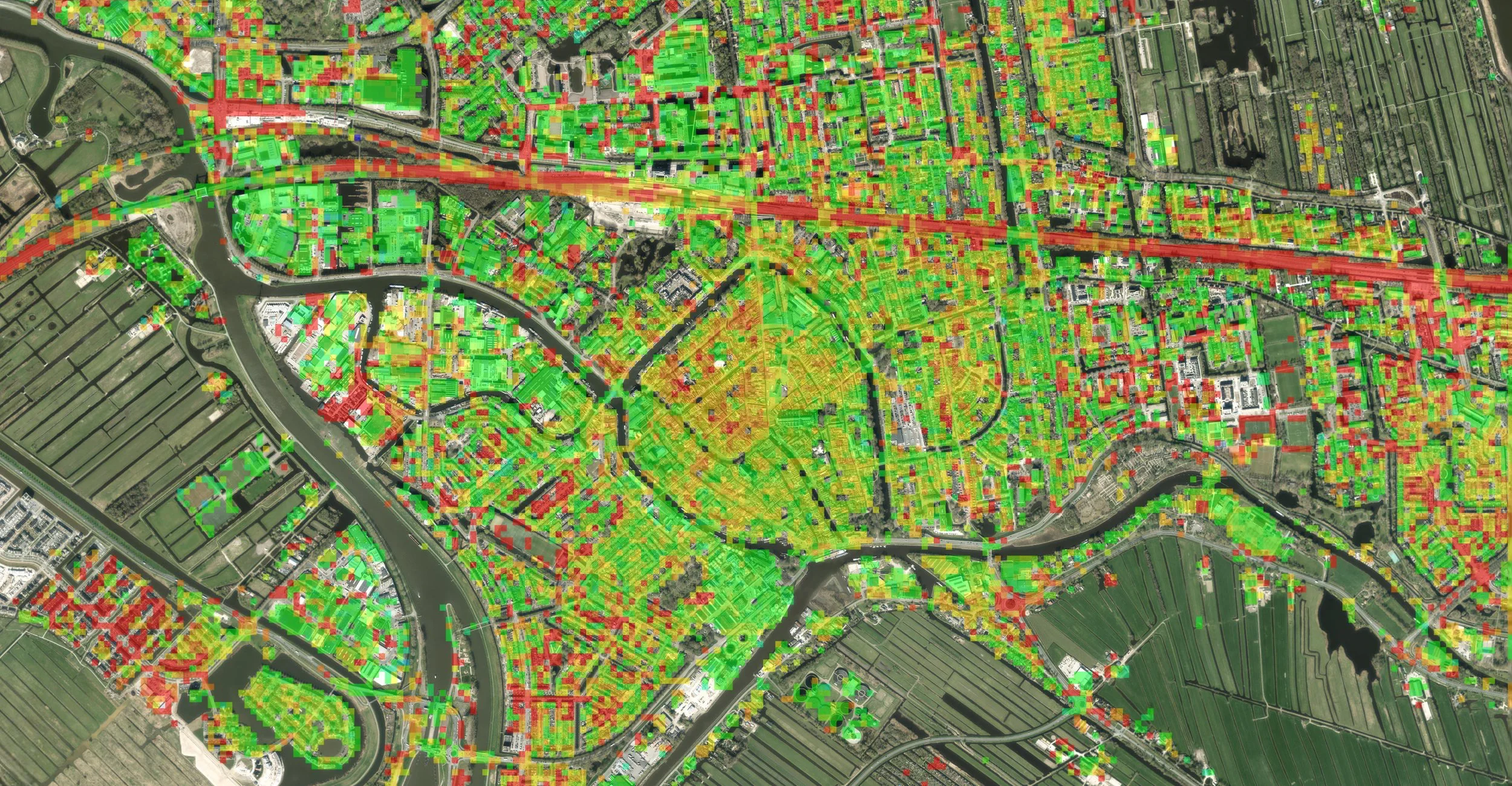
Many providers describe millimeter-scale measurements, yet they supply very different coverage, quality information, processing choices and expert support. A meaningful comparison starts with your engineering question and looks at how each service would help you answer it.
Look beyond precision claims
InSAR services differ in satellite sources, measurement density, reference methods, data availability, interpretation and customer support. Millimeter-level sensitivity depends on conditions, so buyers need to know when measurements are reliable and how that reliability is communicated. They also need to know whether the provider will help interpret a changing pattern or simply deliver a data file.
Ask for a representative deliverable
Request a sample map, time series, quality indicators and engineering explanation for a comparable use case. Look at the distribution of usable points, the reference approach, uncertainty and how data gaps are shown. Check whether satellite acquisition dates are separated from reporting dates, and how surface changes and line-of-sight geometry are handled.
Assess how outputs enter your GIS or asset system. Ideally, test every bidder on the same representative asset. If a technical claim matters to the decision, ask for the method or a documented reference.
Use a decision-based evaluation
Set a few operational questions and ask how each bidder would answer them with the proposed data. For example, can the service identify sustained movement near a bridge approach and explain what should be checked on site? Will the report make limitations clear enough for an engineer to sign off a next step?
Compare deliverables, time from acquisition to report, escalation processes, access rights and integration. Contracts should cover responsibilities, delivery, support and data rights. A decision based on usable evidence is far more dependable than one based on the largest number of points. Learn more in SkyGeo's introduction to InSAR, and meet the analysts behind our interpretation on the team page.
Frequently asked questions
-
Credible measurements with clear quality indicators, and expert interpretation that turns them into decisions.
-
Sample reports, processing descriptions, reference frames and comparisons with independent measurements.
-
Only when they are defined the same way and measured under similar conditions, which is rarely the case.
-
Based on the asset decisions you need to make.
-
Request the same example output from every shortlisted provider.
