
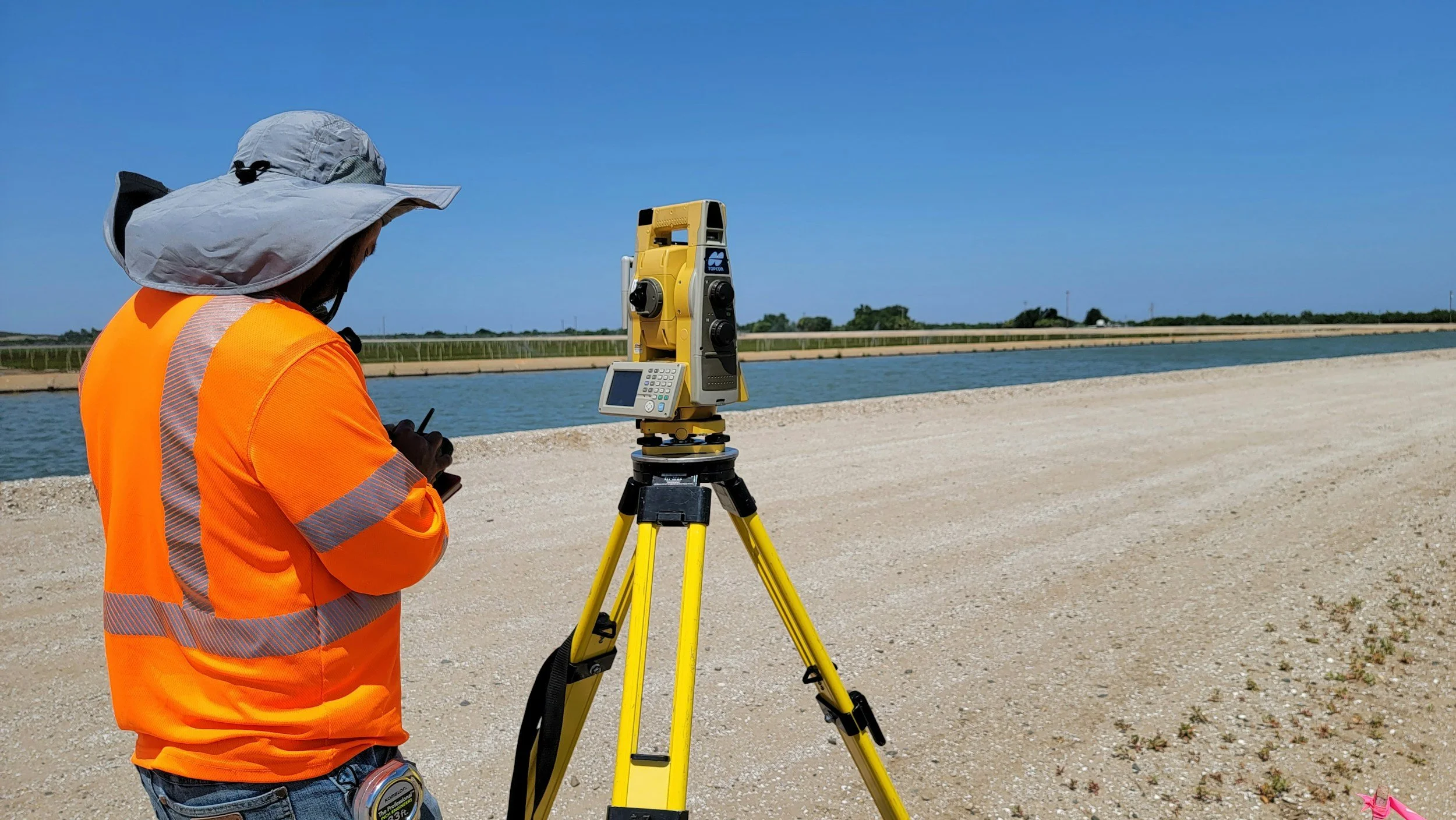
Sending teams to every remote site or network section can be expensive, especially when the real question is which locations deserve a closer look. Wide-area InSAR is often the most efficient answer when the area is large, repeated observations are needed and suitable satellite targets exist. On other projects, a quick local survey is the better fit. Most programs benefit from both.
The methods do different jobs
A satellite program can screen many square miles without sending teams to every point, while field surveys measure specific locations and movement components with high local control. Leveling, GNSS and field instruments remain important for direct measurements and local validation. Costs depend on travel, site access, instrument installation, safety requirements and how often results are needed. The question is which combination delivers the evidence needed for a particular decision.
Build a fair cost comparison
Estimate the cost of the current inspection and survey program, including mobilization, repeat visits, data handling and engineering review. Identify where wide-area satellite observations could direct those activities more selectively, and which visits would still be required.
Include the cost of checking unexpected trends, any new instruments and places where satellite coverage is incomplete. A long, remote corridor will usually present a stronger case for InSAR than a small, easily accessible site with established survey points.
Test the assumption in a pilot
Choose a group of assets where inspection priorities are already recorded and compare the satellite review with known conditions. Document which areas it highlighted, where coverage was limited and which actions it would have changed. A credible result may be better targeting, a clearer baseline and fewer unnecessary investigations over time. Learn more in SkyGeo's introduction to InSAR and our guide to building a business case.
Frequently asked questions
-
For large, remote or numerous assets that need repeated observation, where it can guide field survey effort.
-
Survey costs, travel, access, asset risk and quality requirements.
-
No. It makes them more targeted. Some visits will always be required.
-
The full length of the monitoring program and the interval between decisions.
-
Price a representative current survey program and compare it with a defined satellite-assisted workflow.
