
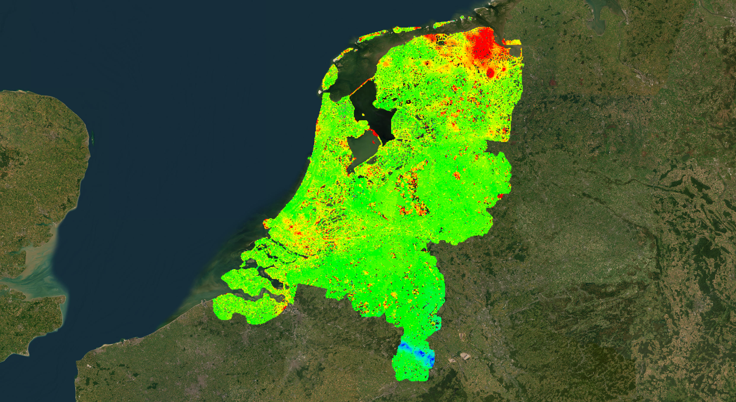
A displacement map can look precise and still leave the person responsible for an asset unsure what to do. Decision-ready reporting connects observations, confidence and engineering context to a clear question. That is where much of InSAR's value is created.
From radar image to engineering question
A useful output starts with processed satellite observations and goes well beyond an attractive map. Analysts establish measurement quality, a stable reference and time series that make trends interpretable. They separate persistent movement from isolated noisy points, identify spatial patterns and ask whether the change is relevant to the assets under review.
The report is then structured around the decision. For a road corridor, the question may be which embankment sections need inspection. For a mine, which slope patterns deserve geotechnical review. For an oil field, which trends need comparing with operating data.
What a recipient should be able to inspect
A manager reviewing a flagged area should see where the measurements were made, over which dates, in which direction and with what limitations. The record should keep earlier observations, note recent surface changes and show whether nearby points behave consistently.
It should name the associated asset and the supporting records that were checked, and separate raw measurements from interpretation. That level of transparency makes the report easy to audit and supports sound decisions.
End with a clear next step
A decision-ready report might recommend a repeat leveling survey, a drainage check, further geotechnical interpretation or simply continued observation. Each action has an owner and is proportionate to the confidence and consequence. Where the data is inconclusive, the report says so. Expert interpretation adds value by explaining alternatives as well as limitations. Learn more in SkyGeo's introduction to InSAR, and see how clients use our reports on the clients page.
Frequently asked questions
-
Validated time series and spatial changes linked to a specific asset question, with confidence and a recommended next step.
-
Asset information, quality metrics and expert review.
-
No. A map needs uncertainty information and a traceable decision process behind it.
-
Agree in advance who reviews each delivery and what actions can follow from it.
-
Ask for an example containing the map, time series, limitations and an investigation recommendation.
