
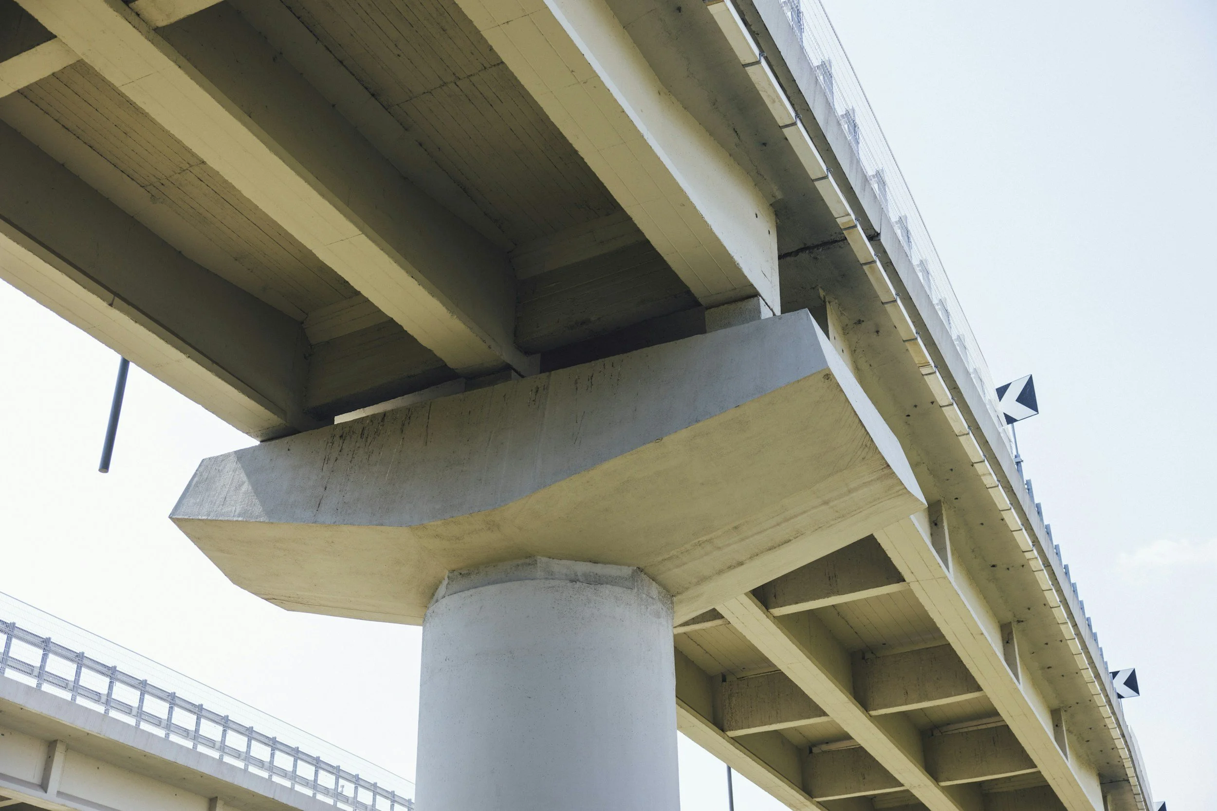
Differential settlement near a bridge causes repeated pavement repairs, uncomfortable bumps and ongoing maintenance where a stiff structure meets its embankment. InSAR movement histories help engineers see whether the approach, the abutment area and the connecting road are moving together or separately, which is often the key to fixing the problem for good.
Why transitions deserve separate attention
The approach to a bridge often sits on different foundations and ground than the structure itself. That difference can lead to bumps, pavement cracking, approach slab repairs and defects that return after resurfacing. A long movement history can show whether the fill keeps settling while the abutment area stays comparatively stable. It can also reveal a broader area of subsidence that extends well beyond the bridge. Each pattern points the field investigation toward different questions.
Compare like with like
Select radar targets on the approach, nearby built surfaces and, where possible, stable reference locations. Compare movement over similar periods, and avoid setting isolated measurements against a full time series. Plot the time series on each side of the bridge alongside approach slabs, retaining walls and drainage.
Resurfacing can change which targets the satellite measures, and drainage works or changes in loading can affect behavior. Adding approach levels, inspection notes, pavement distress records and ground conditions lets engineers assess movement against the real structural detail. A ground point next to a structure describes the ground, so its relationship to the deck or bearings needs to be established before drawing conclusions about them.
From repeated patching to a diagnosis
The business value comes when a team can decide whether another surface repair makes sense, or whether the foundation, drainage or transition design needs investigating. A documented trend helps define how much road to survey and whether nearby retaining structures should be included. Follow-up leveling is still important where tolerances are small.
Keeping the satellite results with the bridge record lets future engineers see whether the ground changed before or after remedial works. Learn more about InSAR for civil engineering and infrastructure.
Frequently asked questions
-
Differential settlement between the approach, the abutment surroundings and the connecting road, along with how that pattern has developed over time.
-
Leveling, pavement condition, drainage records and bridge inspections.
-
Not automatically. Points on nearby surfaces describe that ground, and engineers establish how it relates to the structure.
-
After significant works, and at intervals that reflect the local settlement risk.
-
Map the approaches and surrounding structures of one bridge with recurring transition repairs.
