
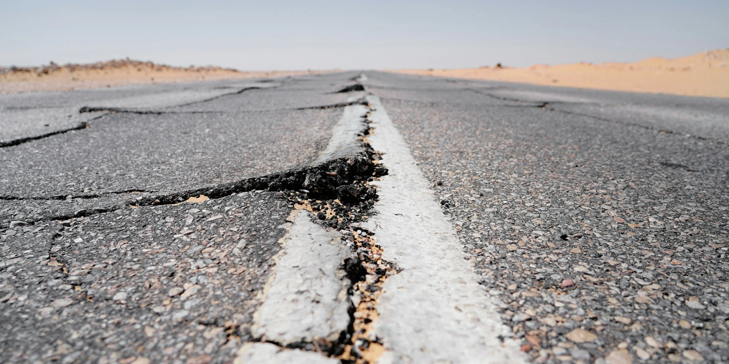
InSAR plays a valuable role before and after earthquakes, landslides, volcanic unrest and other ground deformation hazards. It maps the extent of surface movement across large areas, compares it with a historical baseline and highlights places that need further investigation. That combination of wide coverage and history makes it a powerful addition to disaster risk management.
Before a disaster: understand what is normal
Historical InSAR records can show whether slopes, land around infrastructure or volcanic areas have been moving gradually over months or years. That helps authorities decide where to inspect, install local sensors or carry out detailed geotechnical studies. The USGS describes how InSAR identifies the extent of deformation and helps decide where specialized instruments will be most useful.
A good baseline records data quality, reference points and the normal range of variation. With that in place, a change after an event can be judged properly against what was already happening.
Immediately after an event: choose the right product
Radar imagery supports rapid flood mapping because water and land return different radar intensities. That product usually comes from SAR backscatter analysis rather than InSAR. For earthquakes, pre- and post-event radar images can be processed interferometrically to map how the ground deformed, revealing the pattern of movement across a whole region.
ESA's Sentinel-1 emergency response overview describes both roles. They work best together with aerial surveys, field reports and local instruments.
Recovery: track whether movement continues
After an earthquake or landslide, a repeated record shows whether deformation is continuing. Infrastructure managers can compare movement along corridors and prioritize site assessments where they matter most. Combined with inspections, this gives organizations responsible for civil infrastructure a much stronger evidence base for deciding where to send engineers.
Frequently asked questions
-
No. It measures surface deformation associated with tectonic processes, which improves scientific understanding of hazards, but it does not predict earthquakes.
-
Not usually. Flood extent maps often use the intensity of radar returns, while InSAR compares phase information to measure ground deformation.
-
Satellite acquisitions are periodic, so InSAR is best for identifying and tracking slow-moving slopes. Rapidly evolving hazards are watched with local monitoring and response systems.
Strengthen your hazard planning
SkyGeo can map historical ground movement across your region or network. Contact SkyGeo.
