
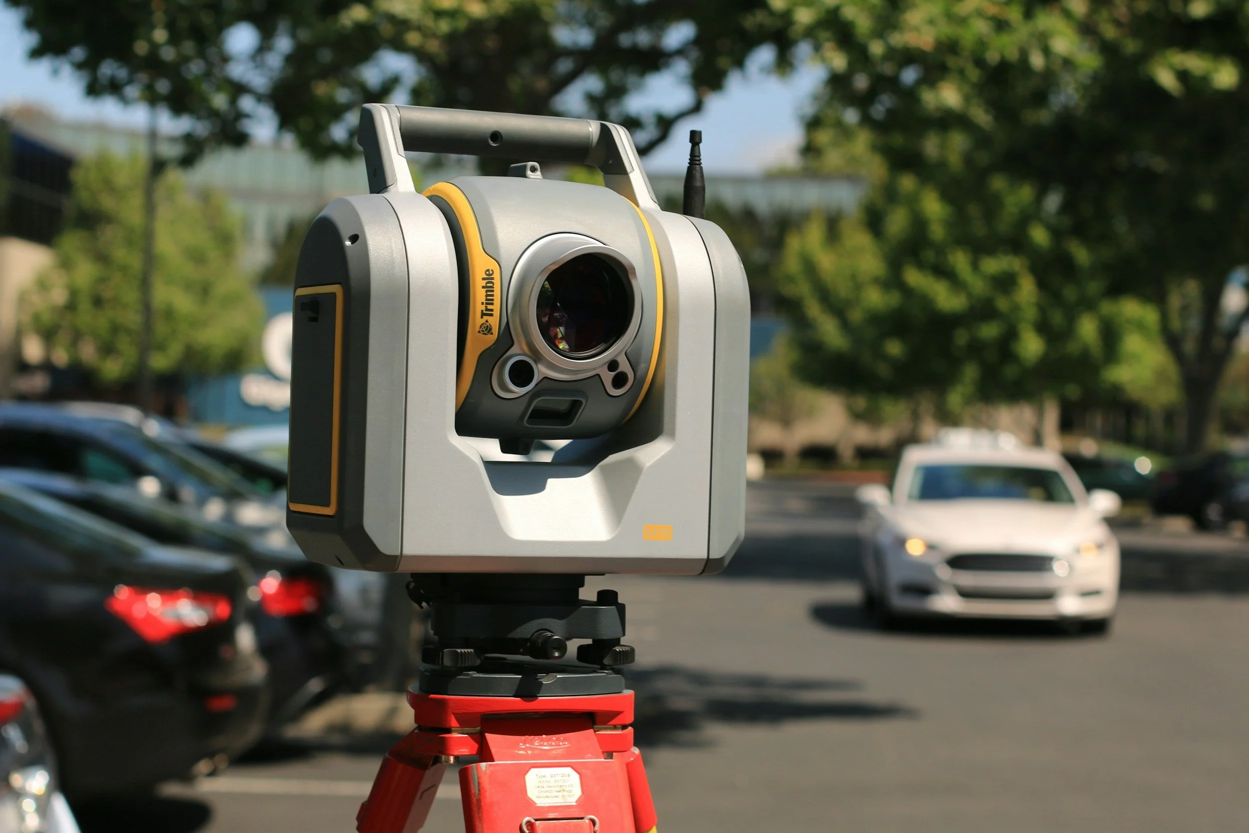
LiDAR and NISAR are often mentioned together, but they are different kinds of thing. LiDAR (light detection and ranging) is a measurement technology that uses laser pulses to create detailed three-dimensional point clouds. NISAR is a specific NASA-ISRO satellite carrying synthetic aperture radar, whose observations support analyses such as InSAR ground deformation monitoring. They answer different questions and often work well together.
What LiDAR provides
Airborne and terrestrial LiDAR surveys describe terrain, buildings and slopes in fine geometric detail. A point cloud can be processed into a digital surface model or, after filtering out buildings and vegetation, a bare-earth terrain model. The USGS explains the difference.
Repeat LiDAR surveys can show changes in shape or elevation between campaigns when they are accurately registered.
What NISAR contributes
NISAR records L-band and S-band radar observations from orbit, day or night and through most cloud cover. With InSAR processing, suitable repeated acquisitions measure relative ground movement over time, often with millimeter-scale sensitivity, across very large areas.
NISAR has a 12-day exact repeat cycle, so its data builds up steadily over time, while LiDAR surveys are commissioned at chosen times. The two produce different outputs on different schedules.
When they work best together
A landslide study might use LiDAR to map scarps, drainage and slope geometry, and InSAR to track continuing movement. A construction project might use a detailed LiDAR model of a structure alongside an InSAR time series of surrounding settlement. Each method has conditions where it performs best, so combining them gives the most complete view.
For civil engineering projects, ask whether your decision needs detailed geometry, evidence of change over time or both. Our article on InSAR, LiDAR or drones covers the choice in more depth.
Frequently asked questions
-
No. LiDAR uses laser ranging, while NISAR is a radar satellite mission.
-
Not directly. Radar-based elevation and deformation products use different methods and produce different outputs.
-
For long-term settlement across large areas, InSAR is usually the stronger choice. LiDAR excels at detailed geometry. Many projects benefit from both.
Choose the right combination
SkyGeo can help you decide where satellite InSAR adds value alongside your surveys. Contact SkyGeo.
