
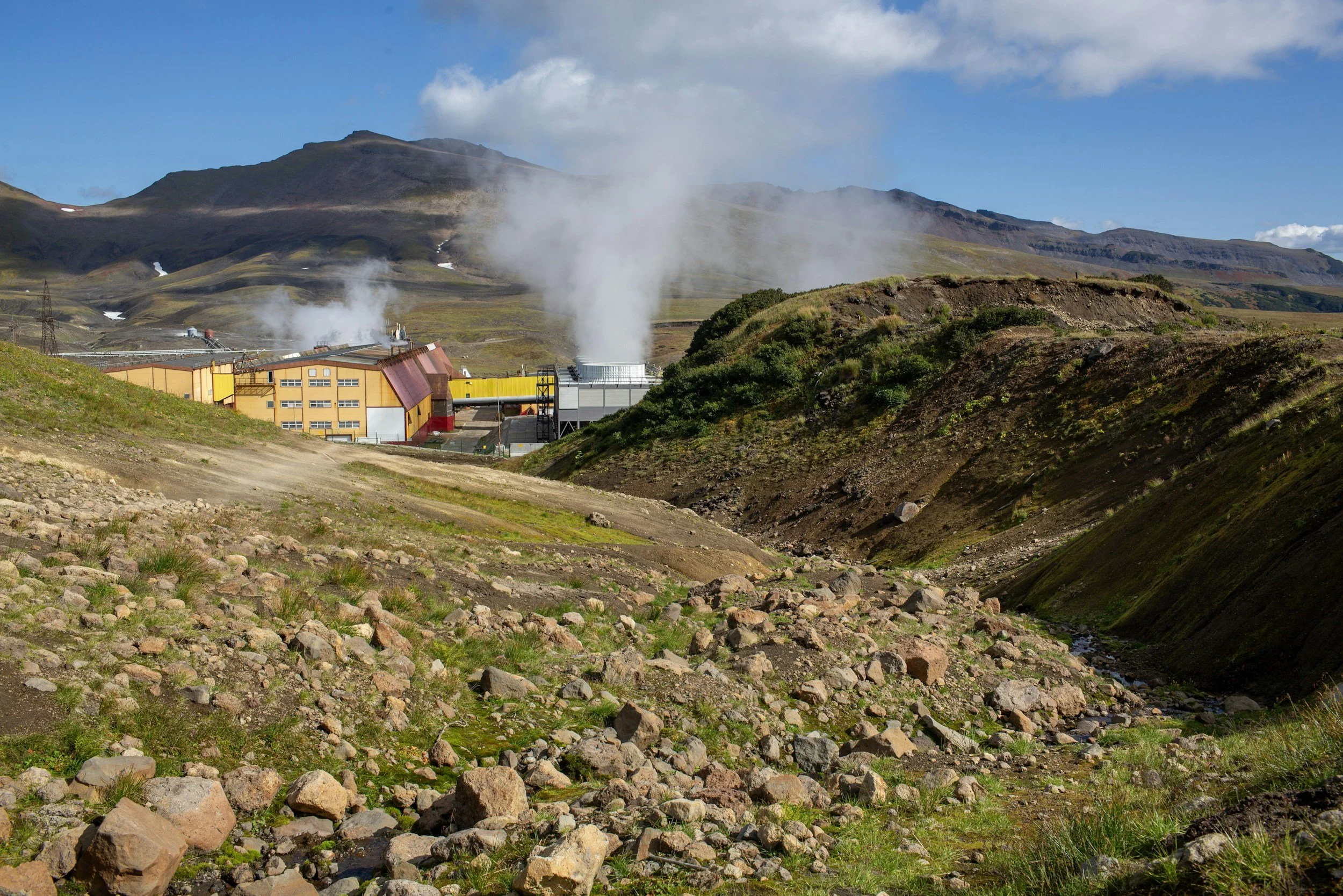
InSAR can support geothermal reservoir monitoring by showing surface subsidence or uplift that may be linked to changes in subsurface pressure, temperature or fluid circulation, across an entire field rather than at individual wells. These measurements are indirect and can have more than one explanation, so they are most valuable when interpreted by InSAR specialists together with production and reinjection records, well data, geomechanical models and local ground conditions.
What can the surface reveal?
Geothermal production and reinjection can change pressure and temperature within a reservoir, which can in turn deform the surrounding rock. Whether that change shows up at the surface depends on reservoir depth, mechanical properties and how operations are distributed. InSAR can describe the location and evolution of measurable movement over time, a spatial view that individual wells cannot provide on their own. You can read more about InSAR for subsurface applications on SkyGeo's InSAR for the energy industry page.
However, a displacement pattern is not a direct map of subsurface pressure or temperature. Identifying the cause requires comparison with the operator's geological and operational information.
Assess the site's observing conditions
Geothermal sites vary widely, from urban installations to volcanic regions with steep terrain or seasonal snow. Satellite geometry, vegetation, snow cover, surface change and the available archive all affect reliability. A baseline study should show which parts of the facility and the wider field have coherent targets and whether the expected direction of movement is well observed.
If a key part of the field cannot be observed adequately, the program should say so and identify complementary instruments. Monitoring decisions should not rely on a map that appears to cover more than its evidence supports.
Compare changes with operations carefully
An operator might compare a deformation time series with production rates, reinjection volumes, pressure records, well tests and major maintenance events. Agreement in timing can help refine a hypothesis, but seasonal groundwater changes, tectonic activity or other processes may also contribute. Multi-year histories and neighboring reference areas help distinguish local signals from regional motion. You can read more about how the method works in SkyGeo's introduction to InSAR.
Where available, GNSS and leveling can test surface displacement estimates. Seismic and downhole measurements provide different information about the reservoir and should remain part of the wider assessment.
Which decisions could benefit?
Possible applications include checking whether a modeled surface response matches observations, identifying areas that need closer investigation and recording long-term change around facilities and nearby assets. The objective should be explicit: is the operator validating a model, screening for unexpected motion or supporting an asset integrity review?
Monitoring frequency and reporting should match the rate of the process being studied. InSAR is best suited to tracking how deformation evolves over time, rather than providing rapid warning of induced seismicity or every other geothermal hazard.
How is this different from oilfield monitoring?
The measurement principle is the same, but the mechanisms and operating data differ. SkyGeo's experience interpreting surface movement linked to subsurface activity provides a starting framework, but suitability for a geothermal field should be established through site-specific feasibility and validation rather than assumed from another sector.
Frequently asked questions
-
Not always. Detectability depends on reservoir properties, operations, depth, geology, observing conditions and the sensitivity of the satellite measurements, which is why a site-specific feasibility check is a valuable first step.
-
Not on its own. Compare the deformation timeline with well operations, hydrogeological information, local instruments and other plausible processes.
-
A suitable pre-operational baseline helps distinguish existing ground behavior from later changes, provided adequate archives and data quality are available.
Review a geothermal monitoring question
If you need to compare surface movement with geothermal operations, share the reservoir context and the decision you are facing. Contact SkyGeo.
