
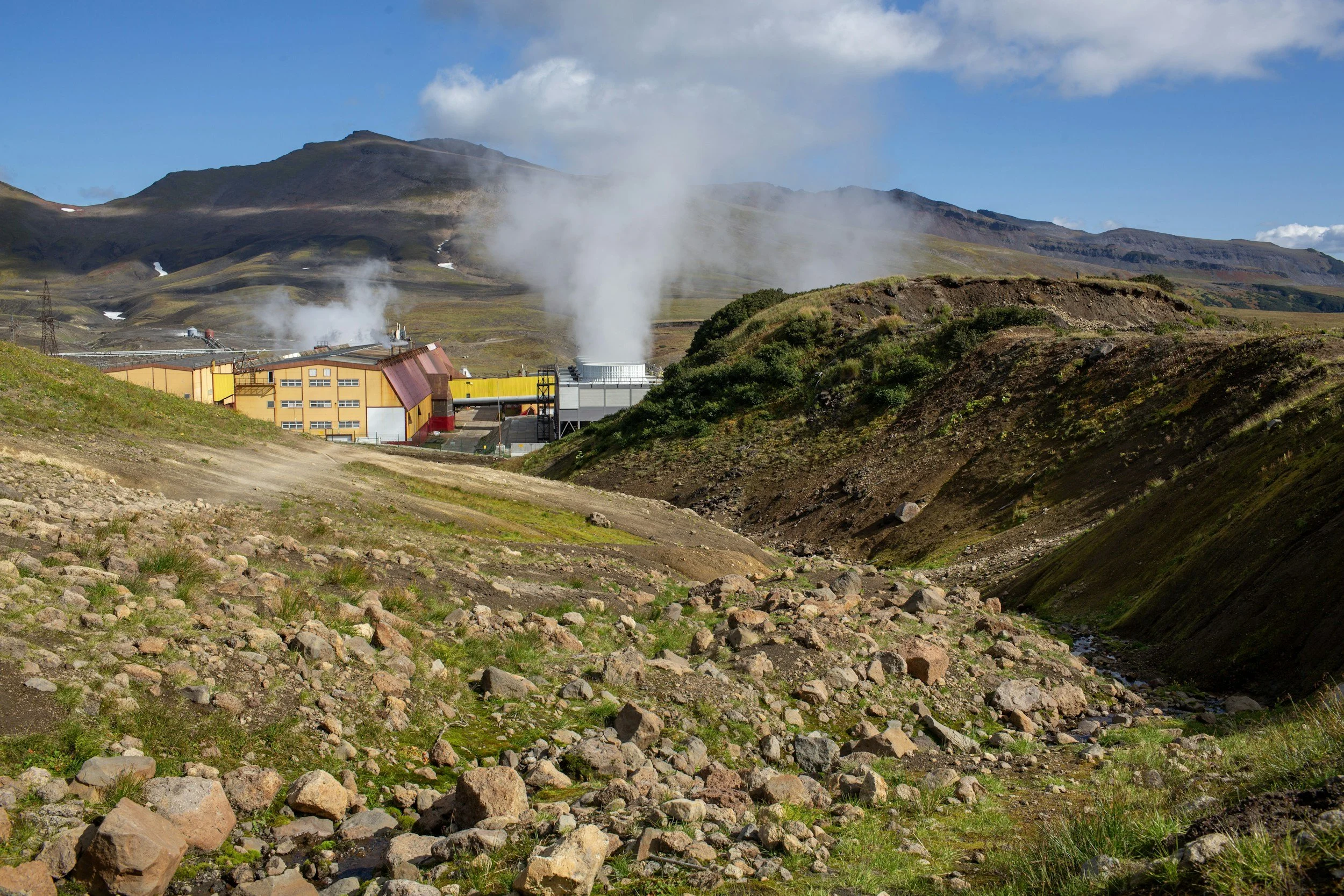
Can InSAR support geothermal reservoir monitoring?
How geothermal operators can interpret InSAR uplift and subsidence alongside production, reinjection, pressure and well records.
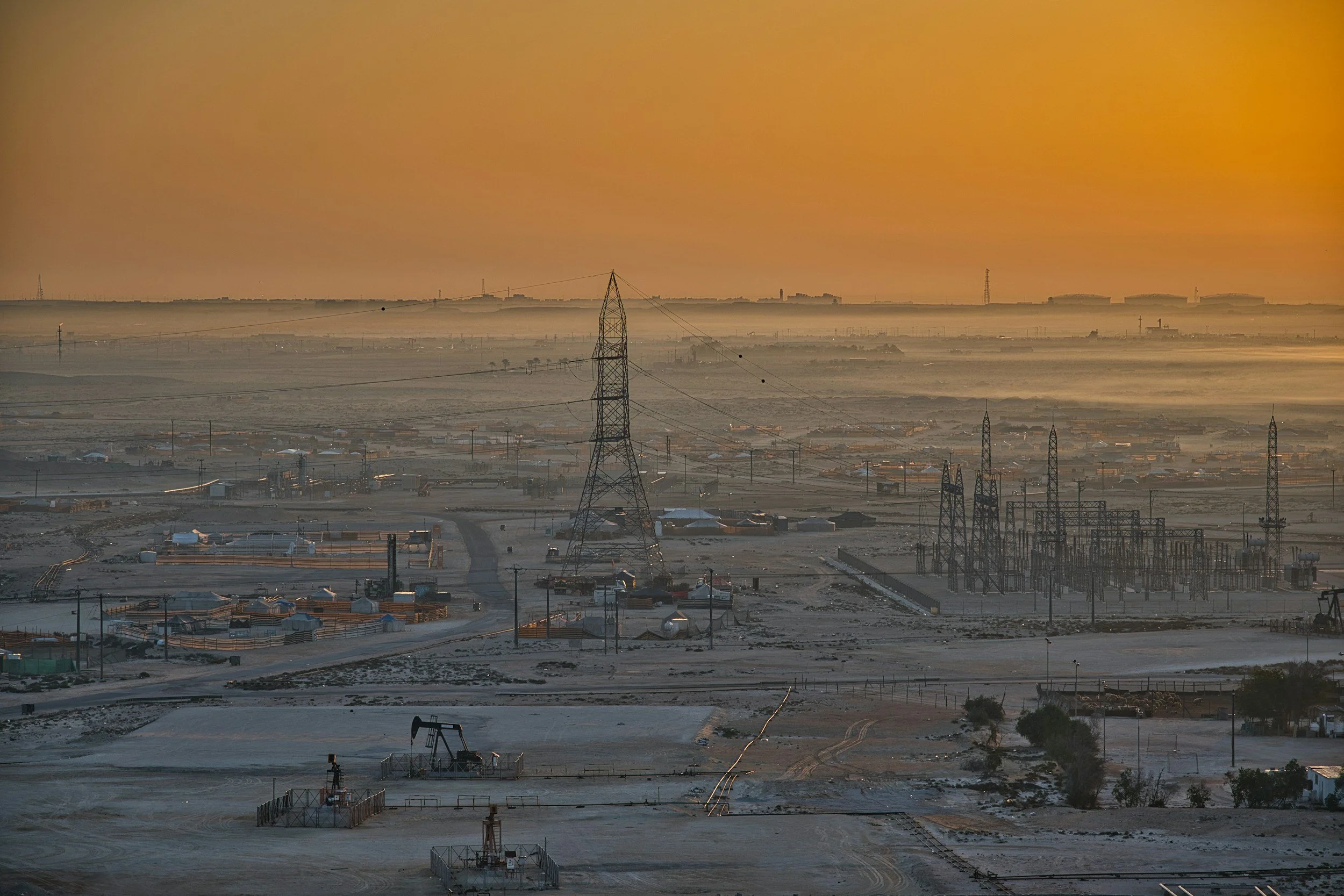
How InSAR complements oil and gas field monitoring
Satellite InSAR maps uplift and subsidence across oil and gas fields, disposal areas and pipeline corridors, complementing reservoir and well monitoring.