
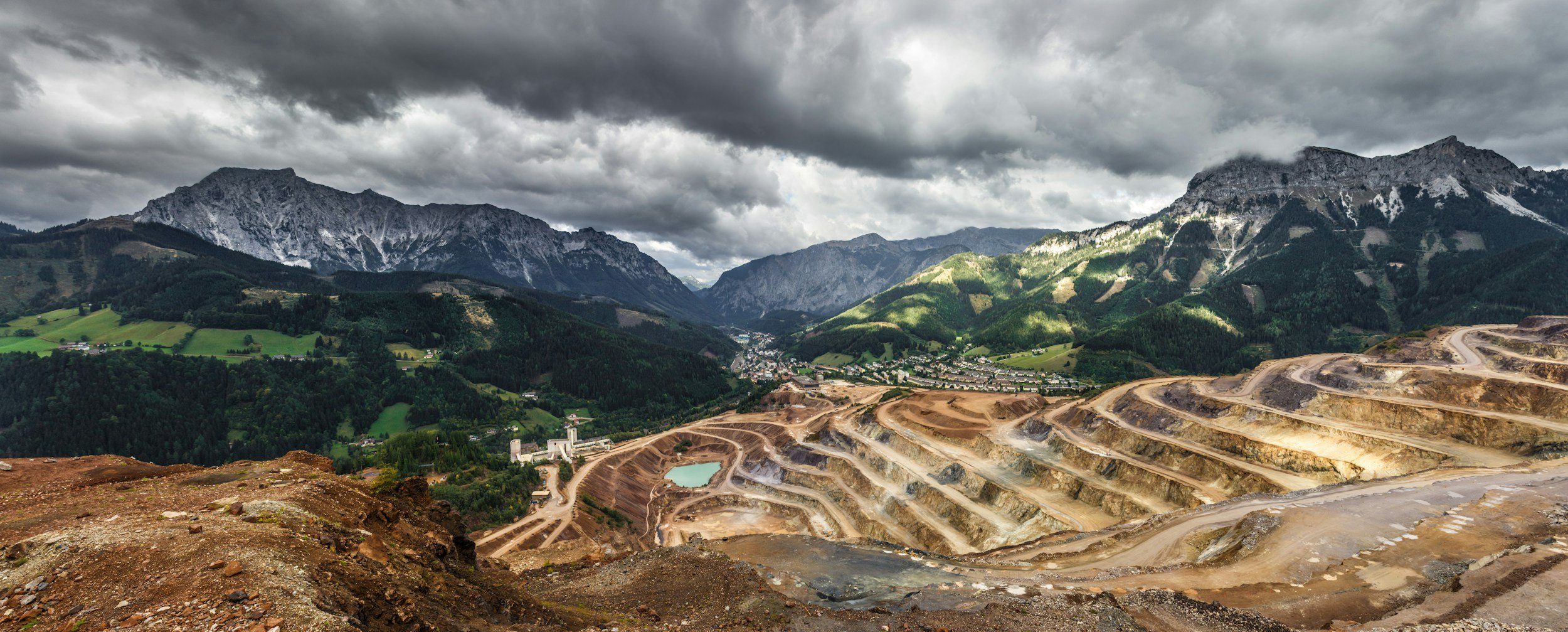
Closure does not remove the need to understand how a tailings facility and its foundations behave. Satellite InSAR is well suited to long-term deformation review during rehabilitation and post-closure management, providing repeated measurements across the whole site without maintaining a large instrument network, wherever coherent surfaces exist. It is a valuable source of evidence within an approved closure plan, alongside the other evidence needed to demonstrate physical stability and meet closure obligations.
What changes after operations end
When deposition stops, drainage, consolidation, vegetation growth, regrading and cover system works can continue to change the site. These changes can produce real displacement or alter the radar-reflecting surface. A closure monitoring plan should distinguish expected settlement from unusual behavior and record when surface changes interrupt the radar history. It should also identify landforms where InSAR is unlikely to provide useful measurements. You can read more about InSAR for mine closure on SkyGeo's InSAR for mining page.
Establish the transition baseline
A practical baseline includes observations from before and during closure where available, current topography and the site's geotechnical records. Differences between pre-closure and post-closure conditions may require a new observation period or monitoring setup. Reports should keep the change in measurement conditions visible. A time series that restarts does not mean the physical movement history has reset.
Monitor works beyond the embankment crest
Rehabilitation can include drainage works, cover placement, reshaping and changes to surrounding infrastructure. Movement may affect access roads, diversion channels, nearby slopes and reclaimed land as well as the main facility. A spatial view helps direct inspections to places where observed movement differs from the expected response. This should be interpreted alongside water management data, surveys and the engineer of record's design criteria. For deeper technical reading, you can browse SkyGeo's InSAR scientific papers.
Keep a governed response process
A long-term program needs clear ownership after operating teams and contractors leave. Define who receives the results, who reviews unusual patterns and how inspections or additional measurements are commissioned. Satellite observations support that process if the data is maintained and accessible, but any closure assurance statement must rest on the full body of evidence required by the facility's obligations and risk framework.
What InSAR can and cannot show at closure
InSAR provides long-term ground movement evidence and interpretation for closure teams, and SkyGeo's mining work includes long-term forecasting of post-backfill stability compared with background subsidence. Internal embankment integrity and environmental performance are assessed with other methods. Where relevant, results should be referenced against the closure plan and the Global Industry Standard on Tailings Management.
Frequently asked questions
-
It can become more difficult where vegetation changes the radar response. The monitoring design should check whether suitable persistent targets remain.
-
Not on its own. Closure decisions depend on geotechnical, hydrological, environmental, regulatory and operational evidence, with InSAR providing valuable long-term movement histories as one part of that picture.
-
A traceable displacement history with coverage and quality notes, the areas of significant change and a clear recommendation for review by the site team.
