
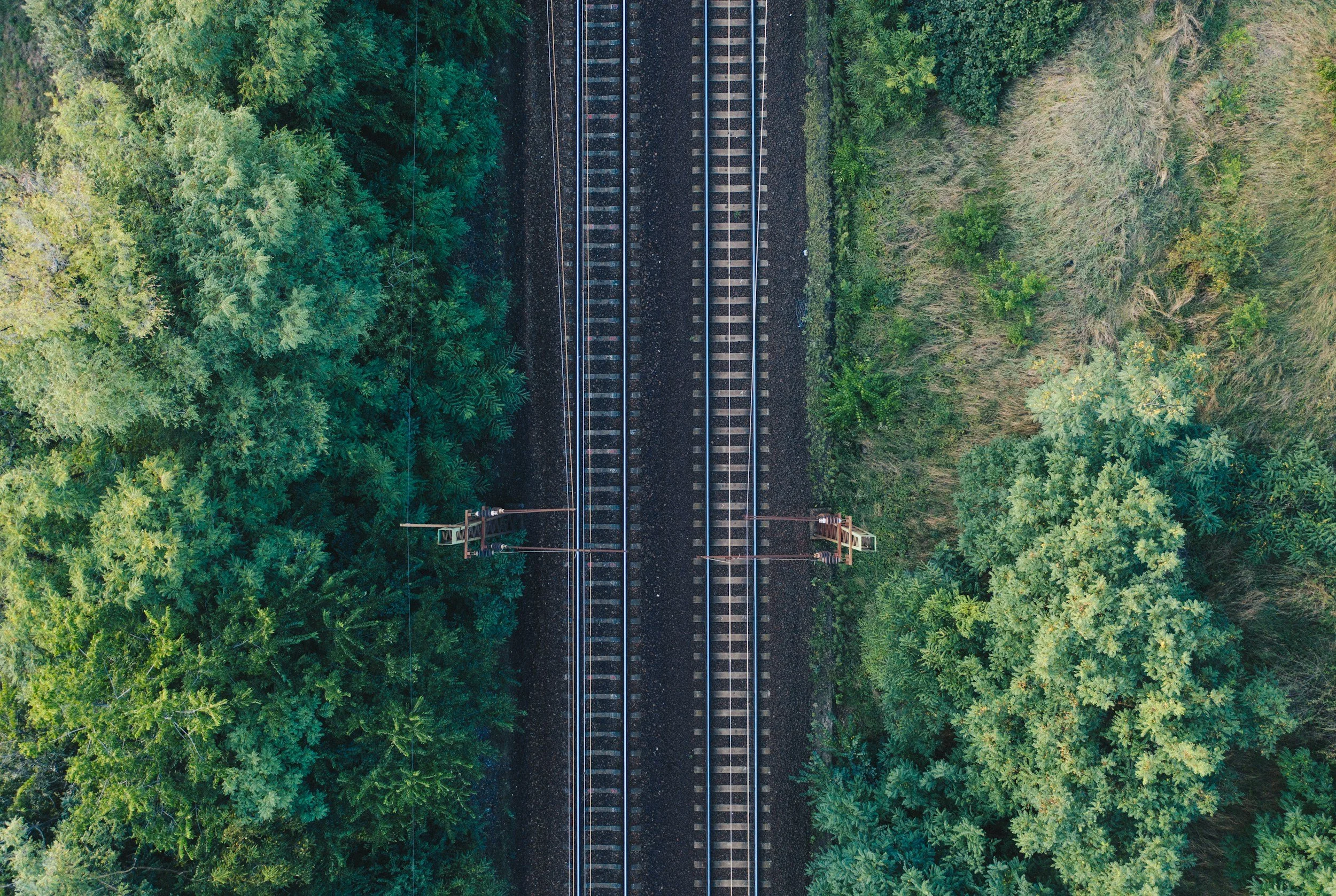
Satellite InSAR helps railroad asset owners screen long corridors for relative ground movement and examine settlement near earthworks, stations and bridge approaches. It is especially valuable when the challenge is deciding where to investigate across a large network. It complements, rather than replaces, track geometry measurement and routine rail safety inspections.
Treat the railroad as an asset system
A rail line includes embankments, cuttings, bridge approaches, tunnels, stations, culverts and nearby slopes, and each component responds differently to ground conditions. Observed movement should be linked to asset IDs and mileposts rather than delivered as a corridor heat map without context. That gives the network team a better basis for telling a finding near a sensitive structure apart from movement in a less critical area. You can read more about InSAR for civil engineering and infrastructure on SkyGeo's website.
Understand what the satellite points represent
Depending on the sensor and surface, radar observations may come from buildings, barriers, structures next to the ballast or firm ground. They are not automatically measurements of rail alignment or track gauge. Geolocation, line-of-sight direction and the presence of reliable targets all need checking. Where there is no suitable point on the track itself, nearby movement can still provide useful context, but the report must state what was actually observed.
Use history to investigate recurring maintenance problems
A recurring track issue may be related to local drainage, embankment behavior or a transition at a structure. A historical satellite archive can often show whether a wider settlement pattern existed before maintenance work. Compare that pattern with tamping records, track geometry surveys, geotechnical investigations and seasonal conditions. The time series is most convincing when it matches independent observations. You can read how a utility used InSAR to screen a large network in the Stedin case study.
Prioritize inspections without replacing them
An asset management workflow might combine displacement rate, changes in trend, asset criticality and inspection history to produce a review list. A flagged location can then move on to survey or engineering assessment. Because InSAR acquisition and reporting are not continuous, any immediate safety hazard is handled through the railroad's established processes. The role of the satellite layer should be explicit and proportionate.
What SkyGeo delivers for rail
For rail applications, SkyGeo provides InSAR data and expert analysis to support network screening and maintenance planning. Reporting names the affected asset, the measurement period, the confidence level, the observed trend and a suggested next step, and makes clear which movement is relevant to the track.
Frequently asked questions
-
Not necessarily. The method observes coherent radar targets, which may be next to the track rather than on it. Track geometry requires dedicated rail surveys.
-
It can support wide-area screening where imagery and ground conditions allow, but coverage and reporting detail vary from section to section.
-
No. Satellite monitoring adds valuable planning evidence alongside required track inspections and safety systems.
