
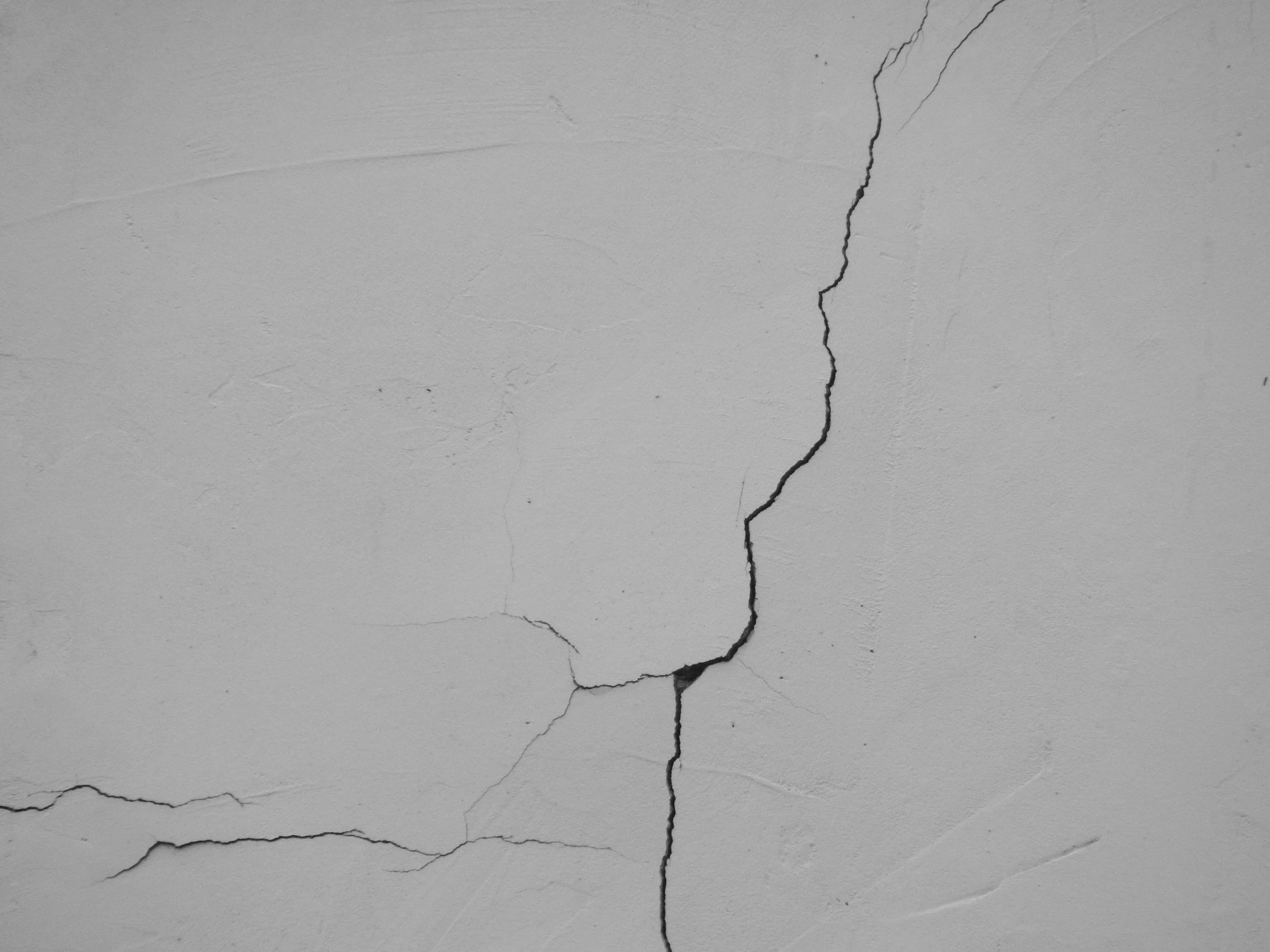
An insurance claim may involve cracking, uneven floors or building movement with an uncertain origin. Often the key question is whether the property and the ground around it moved during a particular period. InSAR adds dated surface movement observations wherever persistent radar targets exist, revealing broad patterns, long-standing settlement and differences between neighboring structures.
Claims investigations need careful attribution
Cracks and building distortion can be linked to settlement, tree-related moisture change, construction, groundwater variation or structural issues. A satellite archive can show whether measurable parts of a property or its neighborhood moved over time. Identifying the mechanism takes further evidence, and the damaged part of a building may not always be directly measured. What the insurer gains is a reliable chronology to investigate.
Establish what is observable
Record the claim property, nearby radar targets, usable dates, reference method and any gaps caused by roof work, vegetation or viewing geometry. Compare satellite trends with crack surveys, historical photographs, ground investigations, foundations, drainage records, vegetation, weather and leveling.
A broad neighborhood trend may be relevant, while measurements on the insured structure itself carry more weight. Take care when comparing data from different periods or methods without a consistent reference, and report missing observations as gaps.
Use the evidence to ask better questions
A movement history helps decide whether to commission a targeted survey, investigate drainage or look for subsidence that predates the reported incident. It also helps a loss adjuster see whether the claimed onset lines up with measurable change. Conclusions should separate observed displacement from inferred cause and coverage limits, with coverage decisions and liability left to the appropriate specialists. SkyGeo's research on the reliability of InSAR monitoring of buildings shows how satellite data is validated against conventional measurements.
Frequently asked questions
-
Dated movement histories for the claim property and the surrounding area.
-
Structural surveys, soil conditions, drainage records and the claims chronology.
-
Not by itself. It provides strong evidence of when and where movement occurred, which specialists assess with other evidence.
-
The full available history around the reported damage dates.
-
Define the affected property and the relevant claim timeline.
