
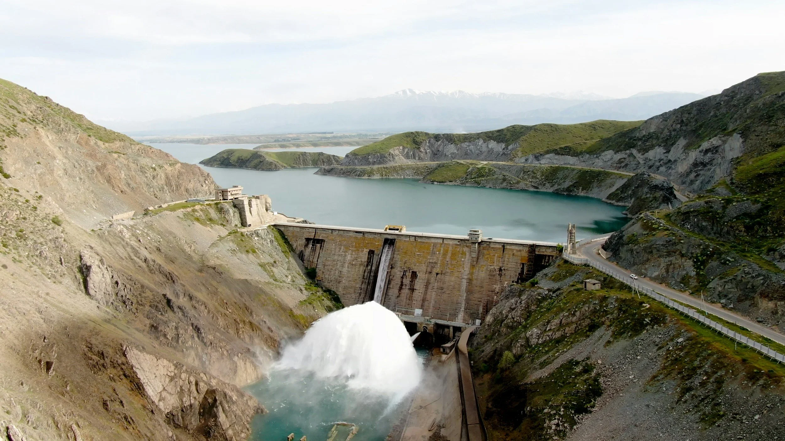
Dam owners need a clear picture of how structures, foundations and the surrounding ground behave over time. InSAR contributes deformation histories across accessible embankment surfaces and nearby slopes, showing broad patterns that complement the point measurements from established instruments.
A dam is a system, not just an embankment
Movement around a dam can involve the embankment, foundation, abutments, reservoir margins and access infrastructure. Satellites observe slow displacement of suitable surfaces over time and can reveal changes that deserve engineering attention. Water, vegetation and steep slopes facing away from the satellite can limit coverage, so critical locations without measurements rely on ground instruments. Seepage and internal condition are assessed through the dam's established monitoring.
Integrate with the established safety program
Organize satellite observations using asset drawings and geotechnical zones. Compare movement histories with reservoir levels, seasonal conditions, survey monuments, piezometers, seepage inspections, visual inspections and records of remedial works. Different structures may need different reference choices and interpretation.
A credible review states which surfaces are represented and where ground instruments are the primary source. Rapidly developing conditions are handled through the owner's established monitoring and emergency procedures, with satellite reviews providing the longer-term view.
Record the engineering response
A persistent change may lead to extra leveling, an inspection of an abutment or a review of reservoir-related effects. The report should record the pattern observed, its confidence, the supporting evidence and the action taken. The same approach helps monitor surrounding slopes and access roads outside the tightly instrumented core. Satellite data adds valuable historical perspective to dam safety management, alongside the responsible engineer's assessment. Learn more about InSAR for civil engineering and infrastructure and our article on levee and flood defense monitoring.
Frequently asked questions
-
Long-term movement across the dam surroundings, abutments and suitable embankment surfaces.
-
Reservoir levels, piezometers, survey markers and safety inspections.
-
No. Internal condition and rapid changes are covered by the dam's instruments and inspections. InSAR adds long-term surface context.
-
As part of routine monitoring, not as an emergency system.
-
With a zone that has a known movement or settlement question, testing satellite coverage there first.
