
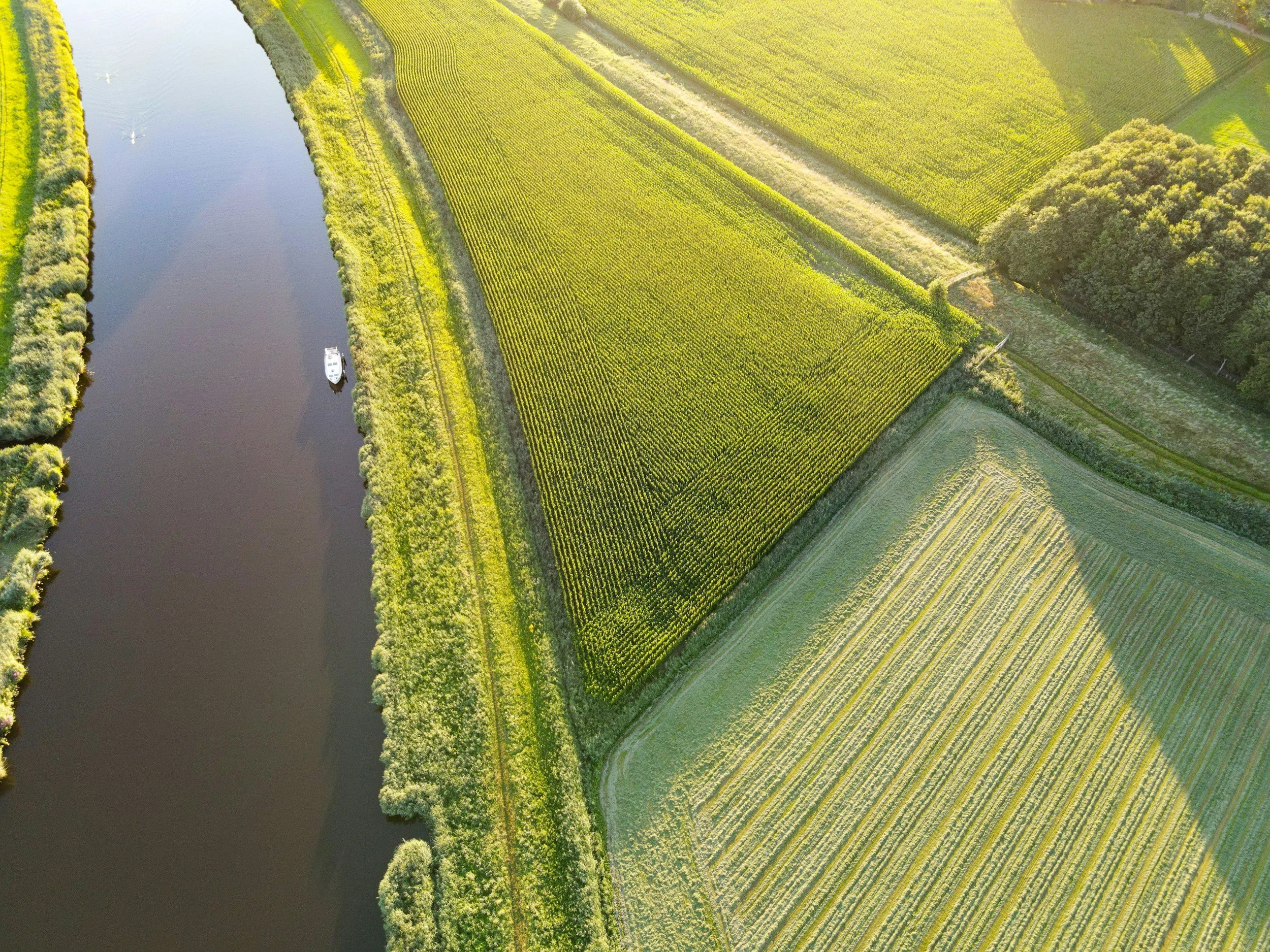
InSAR can help water authorities track long-term surface movement on and around levees, dikes and flood defense corridors, covering many kilometers consistently from repeated satellite observations. Where suitable radar targets exist, it reveals settlement, regional subsidence and unusual movement patterns that deserve inspection. Interpreted by specialists, it adds a valuable layer to the geotechnical, hydraulic and regulatory assessments that establish the structural integrity of a flood defense.
Start with the failure mechanisms
Flood defenses are affected by several processes: consolidation, differential settlement, slope movement, erosion, seepage, groundwater changes and the condition of the embankment itself. InSAR measures a component of surface displacement, not internal seepage, pore pressure or soil strength. Its usefulness depends on whether the relevant mechanism produces a detectable and interpretable surface response. You can read more about InSAR for civil engineering and infrastructure on SkyGeo's website.
A monitoring design should therefore identify the sections where movement history could improve a maintenance or investigation decision. It should not assume that stable-looking satellite data means a levee is safe during high water.
Check geometry and vegetation carefully
Levees are often narrow, sloped and grass-covered. These characteristics can reduce coherent radar returns or cause differences between slopes viewed from different directions. Radar targets may be found on crests, structures, hard surfaces and nearby assets, but where they sit matters. Observations from a parallel access road do not describe the full cross-section of the embankment.
Coverage maps should clearly show reliable points, gaps and the direction of measurement. A pilot is especially valuable where grass, seasonal change or water surfaces limit continuity.
Use historical movement to target investigations
Long time series can reveal which stretches have been subsiding persistently and where a section behaves differently from its neighbors. Combine those observations with maintenance records, inspection findings, ground investigations, water level history and known repairs. A spatially unusual trend may justify a closer look, but any threshold must reflect the site's geotechnical context and the consequences of failure. You can read more about how the method works in SkyGeo's introduction to InSAR.
Comparisons along corridors can also help prioritize survey resources. Use the data to decide where further assessment is useful, not to rank safety based on displacement rate alone.
Integrate with the authority's monitoring obligations
Water authorities usually have established inspection, instrumentation and assessment procedures. New satellite information should enter that process through documented responsibilities, quality criteria and escalation rules. Clarify what a routine report contains, what counts as an exception and when field teams must verify a finding.
For consequential decisions, a defensible record includes acquisition dates, satellite geometry, reference choice and uncertainty. If a critical section has no measurable radar targets, record that limitation and rely on other methods.
Can InSAR detect an imminent levee breach?
It should not be presented as a standalone breach detector, because rapid mechanisms can develop between satellite passes or without any measurable surface warning. Its strength is long-term screening and context alongside appropriate inspections and instruments. SkyGeo can provide the InSAR data and analysis that adds long-term movement histories to an existing flood defense monitoring program.
Frequently asked questions
-
Not reliably. It contributes valuable long-term deformation evidence in measurable areas, but it cannot forecast a breach or replace the authority's required monitoring and response arrangements.
-
Sometimes, but changing vegetation can reduce coherence. Radar geometry, surface treatment and seasonal conditions need to be evaluated for each site.
-
Those sections should be clearly marked as unobserved and monitored with suitable alternative methods, not assumed to be stable.
Assess flood defense monitoring coverage
If movement history could inform your inspections, tell us about the defenses involved, their surfaces and your existing monitoring process. Contact SkyGeo.
