
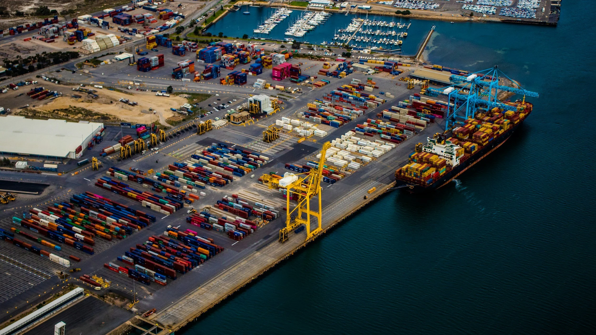
Ports and logistics terminals often combine reclaimed land, quay structures, paved yards, buried services and heavy operational loads. InSAR is well suited to assessing long-term settlement patterns across these large, asset-dense sites, measuring suitable reflective surfaces without installing sensors. Interpreted by specialists, the data guides inspections and engineering review. It complements, rather than replaces, direct assessment of quay wall safety and subsurface condition.
Why settlement is not uniform across a terminal
Reclaimed land and engineered fill can keep consolidating long after construction. Different foundations, drainage conditions, loading histories and ground improvements can all produce variable movement. A paved yard, building, crane rail and quay structure may respond differently even when they sit side by side. That is why a terminal-wide average can hide the transition zones that matter most for maintenance planning. You can read more about InSAR for civil engineering and infrastructure on SkyGeo's website.
The most useful questions are specific to each asset. Is pavement settlement changing? Are approach areas moving differently from a structure on piles? Is a known problem spreading beyond a small surveyed area?
Establish a baseline for land-side infrastructure
Historical satellite data can help characterize movement before an expansion, dredging campaign or change in operations. Confirm that the archive has suitable images and that the relevant surfaces remain coherent. Asphalt renewal, container yard reconfiguration and new construction can interrupt radar targets, so apparent gaps or jumps should be investigated before being interpreted as ground movement.
A useful baseline maps measurement coverage by asset class and separates structures that are genuinely observed from areas where the satellite cannot provide adequate measurements.
Review changes in operational context
Surface displacement is best interpreted alongside loading, ground improvement records, known drainage issues, construction phases and conventional survey data. A gradual settlement trend may be expected in one area but concerning along a critical service corridor or at the transition to a rigid foundation. Engineering tolerances and consequences should determine what needs action. You can see more examples of InSAR supporting asset decisions on our clients page.
For quay walls and waterfront structures, underwater inspections, structural surveys and geotechnical measurements may also be needed. InSAR cannot see underwater damage, hidden voids or every structural component.
Turn measurements into an inspection program
Link coherent time series to yard zones, access roads, terminal buildings, utilities and critical transition areas. Rank locations by movement behavior, quality of evidence, asset criticality and the cost of disruption, and keep a record of follow-up inspections and whether they confirmed a concern.
A pilot can test whether satellite monitoring reveals patterns that were previously missed or reduces the need for uniform field surveys. Benefits should be measured against real maintenance decisions, not inferred from the number of points collected.
Is InSAR useful for assets next to water?
Potentially. The water surface itself generally does not provide stable InSAR targets, but reflections from adjacent land and structures can still be informative. SkyGeo can assess coverage and uncertainty first, then help decide whether a port-wide or targeted approach is justified.
Frequently asked questions
-
The most reliable ground deformation applications cover land, reclaimed areas and suitable fixed structures. Open water does not provide persistent ground targets.
-
Consolidation and variable ground conditions can produce very different settlement histories across a site. Measurements can help direct surveys and maintenance decisions.
-
Not on its own. The observation provides valuable context on displacement, while structural condition also depends on design, loading, inspections and other engineering evidence.
Review terminal settlement coverage
If your port or terminal includes reclaimed ground and critical transition zones, let's discuss whether historical radar coverage could inform your inspections. Contact SkyGeo.
