
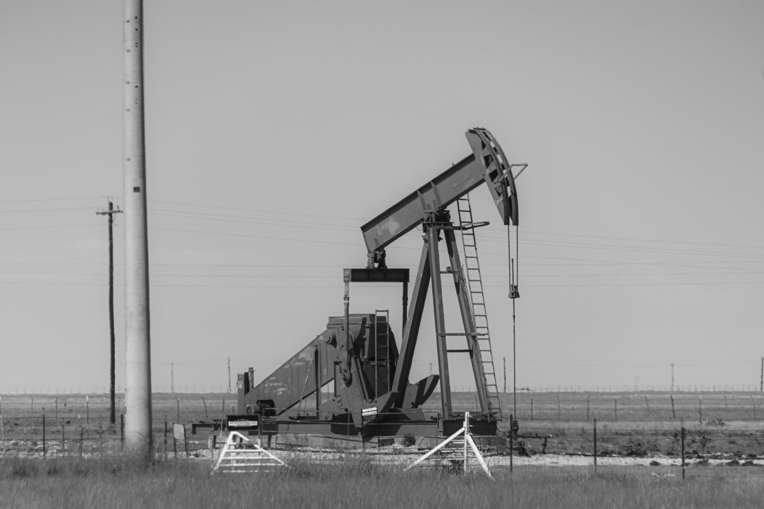
Satellite InSAR reveals uplift and subsidence patterns across the Permian Basin, giving operators a valuable, basin-wide view when investigating fluid production, injection and changing subsurface conditions. An uplift pattern is not a direct image of pressure, a fluid plume or a fault, so interpretation requires InSAR expertise together with geological context, well and injection records, regional trends and independent geophysical evidence.
Start with what is actually observed
InSAR estimates changes in surface position from repeated radar acquisitions. Across a large basin, the results can contain overlapping signals from multiple geological layers, operations and natural processes. Wide-area motion can occur while a single well shows a different response. The measurement therefore constrains the interpretation in space and time, but it is not a single, unambiguous diagnosis. You can read more about SkyGeo's Permian Basin InSAR subscription service.
An operator should ask where the pattern is, how it is evolving, how reliable the measurements are and whether its shape fits plausible mechanisms. Those questions come before any claim about a particular disposal well.
Compare deformation with operational timelines
Review injection and production rates, well locations, completion intervals, reservoir properties, pressure data and changes in operating practice. Check whether the deformation started before or after the relevant operations and whether it varies consistently with them. Correlation can support a hypothesis, but it does not establish cause when several processes operate in the same area.
Surface uplift can be an indirect expression of deformation underground. Without a calibrated model and supporting evidence, it should not be converted directly into formation pressure or fluid volume.
Treat induced seismicity as a separate question
Scientific research has linked certain wastewater injection activities with induced seismicity, but not all injection causes earthquakes, and surface uplift alone cannot predict one. Assessing that concern requires seismic observations, fault data, pressure migration, geological conditions and operational records. An InSAR map should never be described as an earthquake forecast. You can read more about InSAR across the energy sector on SkyGeo's InSAR for the energy industry page.
When reviewing anomalies, separate broad background trends from local changes that may need processing at a different scale. A single smoothing approach may not reveal every feature that matters for individual assets.
From basin monitoring to site-level review
SkyGeo provides regional Permian monitoring across the Delaware Basin, Midland Basin and Central Basin Platform, alongside local processing and interpretation where operators need asset-specific context. The distinction matters. Basin-scale results help identify regional patterns, while individual wells or facilities may need more targeted analysis and validation.
Operators should be able to trace any recommendation back to the observed time series, the operational comparison and the stated uncertainty. An anomaly can justify further investigation even when its cause is still unresolved.
What should an operator do with an unexpected uplift pattern?
First, verify data quality and check whether the feature persists. Then compare operational timelines, geology and relevant independent observations, and escalate through your established geomechanics and risk processes. SkyGeo can provide the InSAR data and analysis for that wider investigation, with its analysts tying surface observations to the operational and geological context.
Frequently asked questions
-
Not on its own. It establishes that the surface has changed, which is valuable evidence. Injection history, pressure data, geology, hydrology and alternative mechanisms need to be evaluated before drawing a causal conclusion.
-
Not directly. Surface displacement can be consistent with subsurface pressure changes under some models, but pressure itself requires direct measurement and appropriate assumptions.
-
No. InSAR cannot independently forecast whether or when an earthquake will occur. Induced seismicity assessment requires a separate, multidisciplinary monitoring approach.
Explore Permian-specific movement interpretation
If ground uplift or subsidence is affecting your understanding of local operations, let's discuss the area, the wells and the context data available. Contact SkyGeo.
