
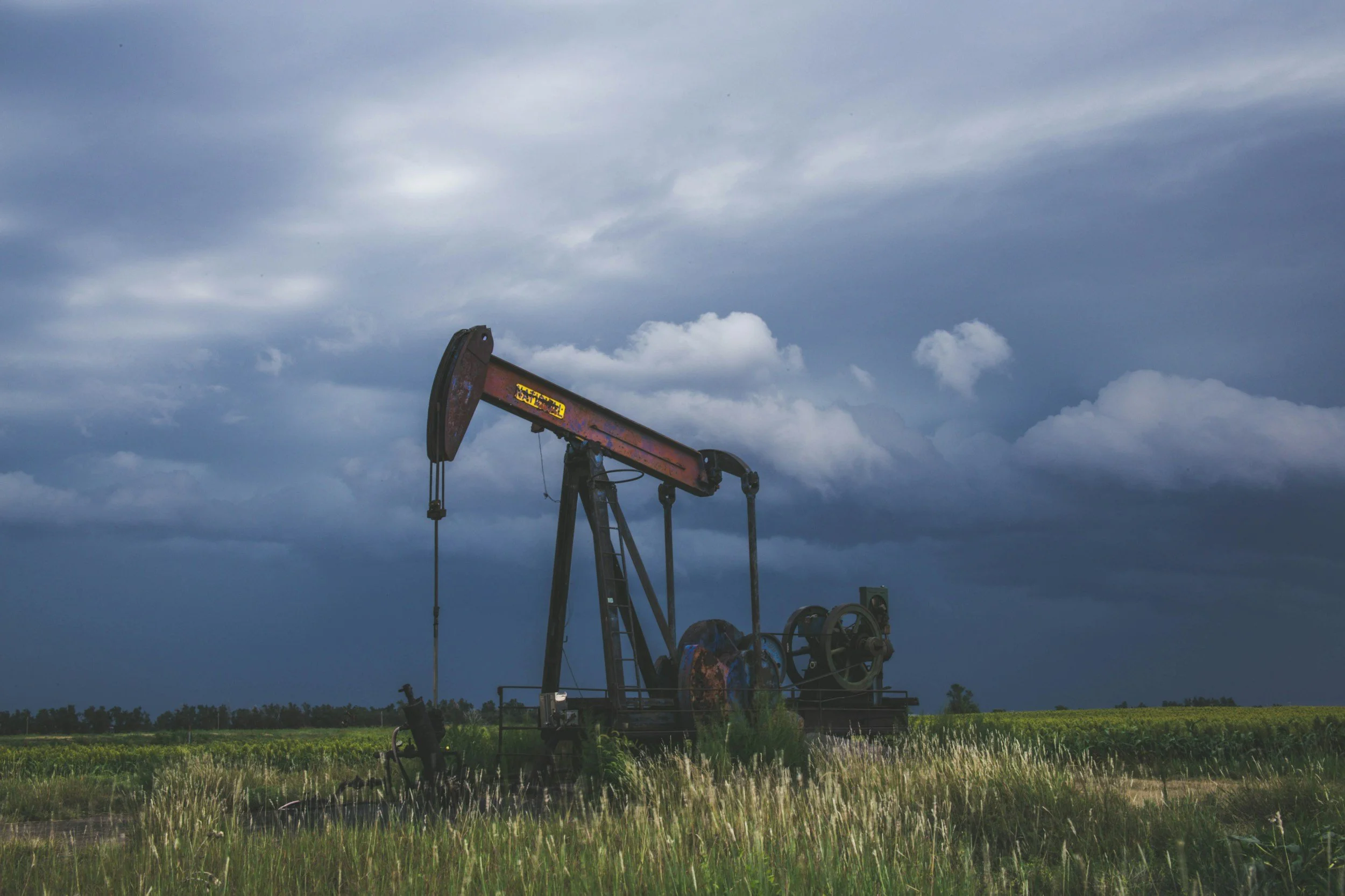
Why InSAR uplift and subsidence maps can mislead oil and gas operators
An uplift map is not an image of underground pressure. Common pitfalls when oil and gas operators interpret InSAR uplift and subsidence data.
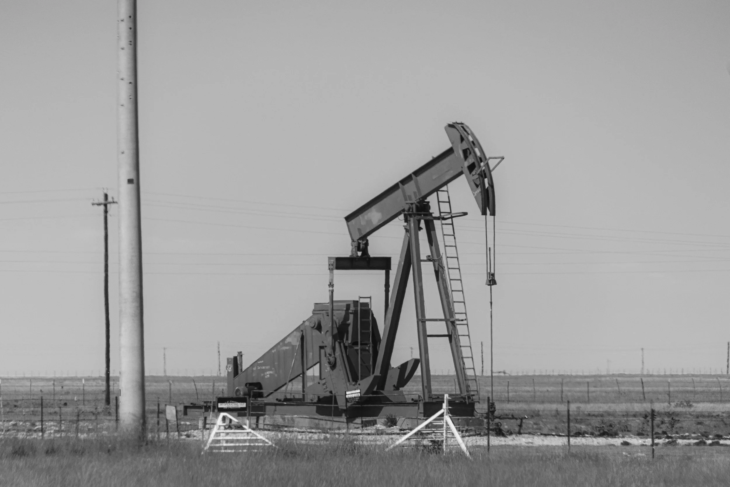
What surface uplift means for produced water disposal in the Permian Basin
What InSAR uplift and subsidence patterns in the Permian Basin can and cannot tell operators about produced water disposal, pressure and seismicity.
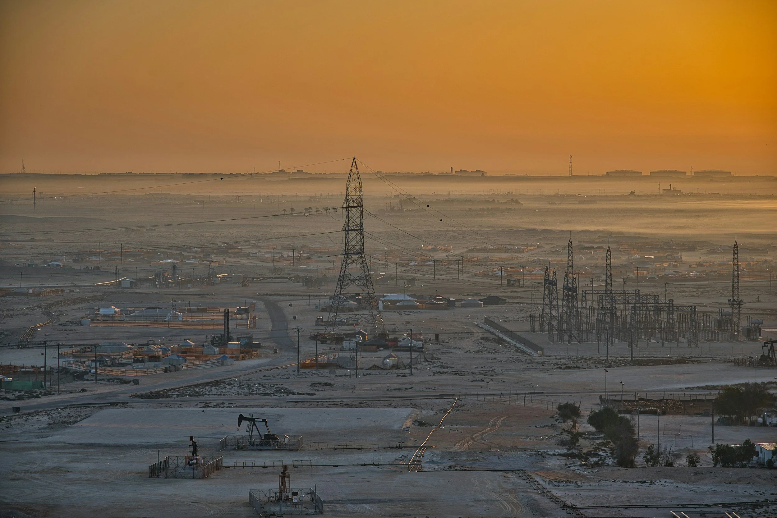
How InSAR complements oil and gas field monitoring
Satellite InSAR maps uplift and subsidence across oil and gas fields, disposal areas and pipeline corridors, complementing reservoir and well monitoring.