
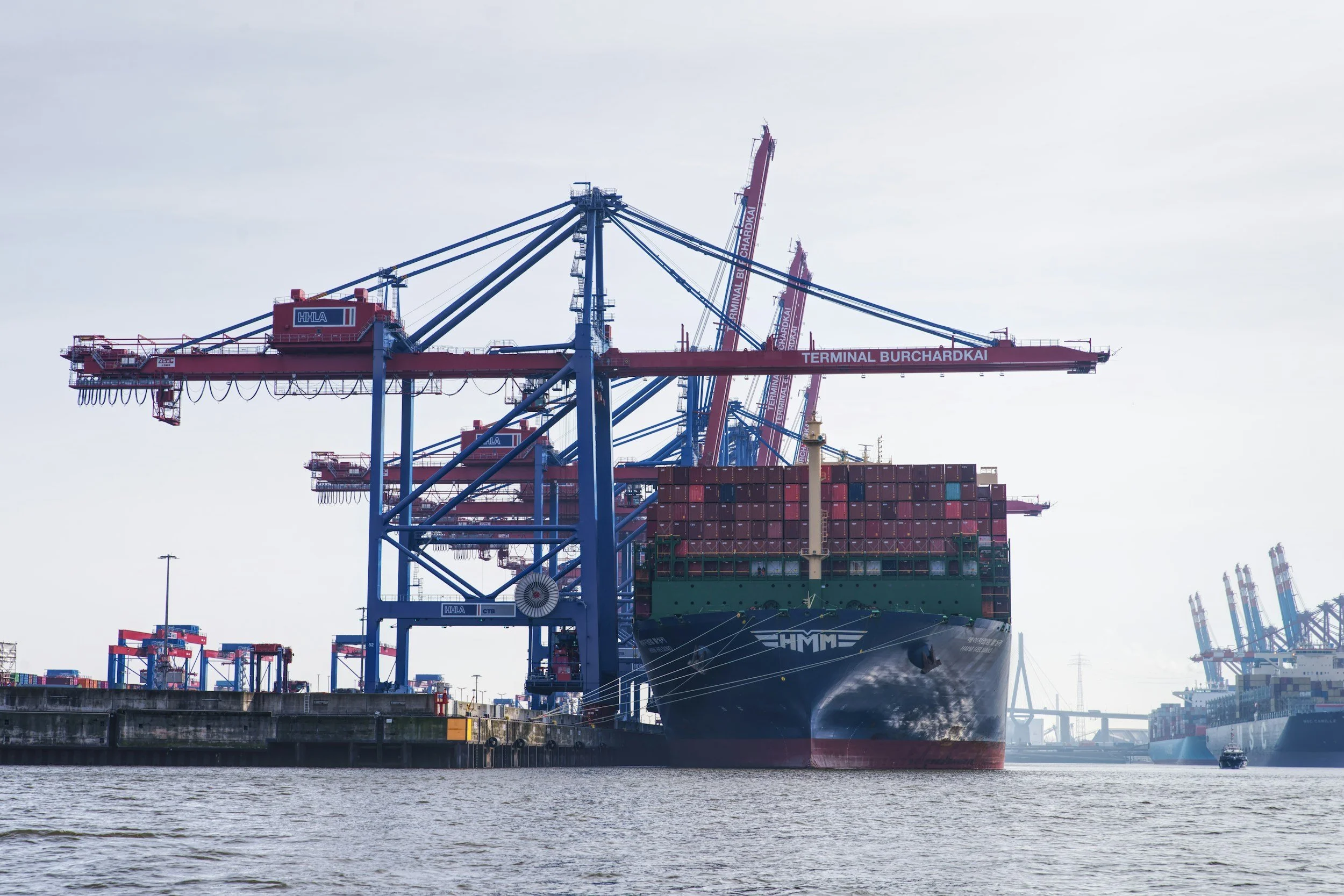
Ports combine heavy loads, aging retaining structures, transport links and reclaimed ground. Local deterioration can affect both safety and throughput. InSAR maps long-term settlement across paved yards, access routes and suitable quay structures, highlighting gradients and changes that deserve a closer survey.
Ports are built on changing ground
Quays, container yards, reclaimed land and access corridors can settle under changing loads and ground conditions. Differential movement may affect pavement levels, drainage and the interfaces between structures. Satellite measurements trace slow movement across hardstanding and buildings very effectively. Underwater foundations and the internal condition of quay walls are assessed by direct inspection, with operational use, construction history and the marine environment all part of the interpretation.
Compare the right operational areas
Divide the port into quays, yard blocks, roads, rail connections and reclaimed plots. Combine InSAR time series with level surveys, pavement maintenance, dredging records, changes in stacking operations, drainage records and ground improvement works.
Check whether trends are broad and uniform or concentrated near interfaces and particular assets. Points on buildings or pavements describe those surfaces, so they are related carefully to quay wall movement. Repeated resurfacing and yard alterations can change the radar targets, and analysts should be clear about continuity and gaps.
Prioritize surveys and renewal projects
A port engineer can use the findings to select areas for leveling, inspect drainage, review pavement design or investigate settlement near a quay approach. Longer histories also inform redevelopment and planning for changes in load. Each recommendation should state the location, confidence and engineering reason for attention. SkyGeo's research on Amsterdam's quay walls shows how InSAR is validated in waterfront settings. See also our article on port and reclaimed land settlement.
Frequently asked questions
-
Settlement across quays, reclaimed land, container yards and access routes.
-
Quay inspections, level surveys, loading, drainage and structural surveys.
-
Not on its own. It shows surface movement around the quay, while wall stability and underwater condition need direct inspection.
-
Periodically, alongside its statutory and engineering inspection plans.
-
An area with known pavement settlement or an aging quay, starting with a feasibility review.
