
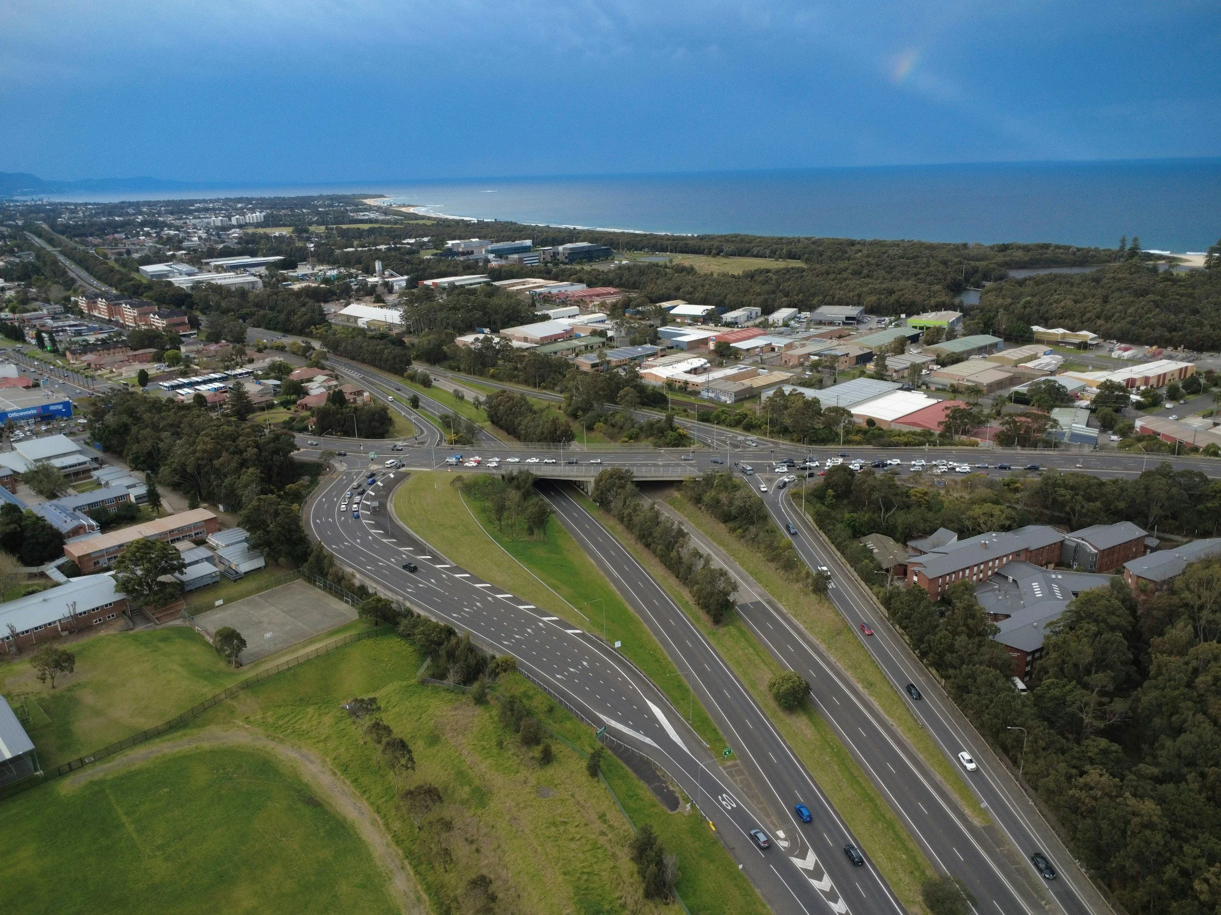
Inspecting every bridge, road, culvert and retaining wall with equal frequency is rarely possible. Network managers need to spend limited engineering time where the consequences of deterioration and the evidence of change justify it. InSAR provides a broad, repeatable record of ground movement across an entire network, which makes that prioritization far easier to do and to defend.
Start with asset criticality, not map colors
A busy urban interchange, a quiet rural road and a remote retaining wall should not be ranked only by how fast the ground around them moves. Combine movement evidence with traffic or passenger exposure, diversion options, repair cost, condition grades and the impact of restricted access. Criticality provides the business context, and InSAR adds an independent record of where the ground has been changing. Together they explain why two similar movement trends can lead to different inspection priorities.
Make the ranking auditable
Build an asset register with a stable ID, location, type, age, criticality and known defects for each asset. Link movement observations to the correct asset or its surrounding ground, rather than automatically assigning them to the nearest structure, and flag areas with few reliable measurements.
Then use pre-agreed rules to select candidates for engineering review. A reviewer should be able to see which rule triggered an inspection, what information was missing and who approved the decision. A good dashboard shows the reason for each recommendation, its confidence level and the outcome of the previous visit. Poor condition or high consequence can still justify an inspection where no movement signal is available.
Close the inspection loop
When an engineer visits a flagged site, record what they found: no defect, a drainage problem, known settlement, a survey discrepancy or a condition that needs further work. Feed that finding back into the ranking model. Repeated false positives may point to a poor radar target or a threshold that needs adjusting, while missed cases may show an asset type that needs another monitoring method.
The benefit is not just fewer visits. It is a clear, documented reason for every use of scarce specialist time. Learn more about InSAR for civil engineering and infrastructure, or see how one utility put this into practice in the Stedin case study.
Frequently asked questions
-
Yes. InSAR is well suited to screening large portfolios, showing movement patterns across thousands of assets in one consistent dataset.
-
Criticality scores, asset condition, incident history and inspection records.
-
Not necessarily. Some assets have few radar targets nearby, so the ranking should flag coverage gaps and rely on other evidence there.
-
Whenever a new validated monitoring delivery or batch of inspection results arrives.
-
Pilot the workflow on a manageable set of assets with well-maintained IDs, then scale it across the network.
