
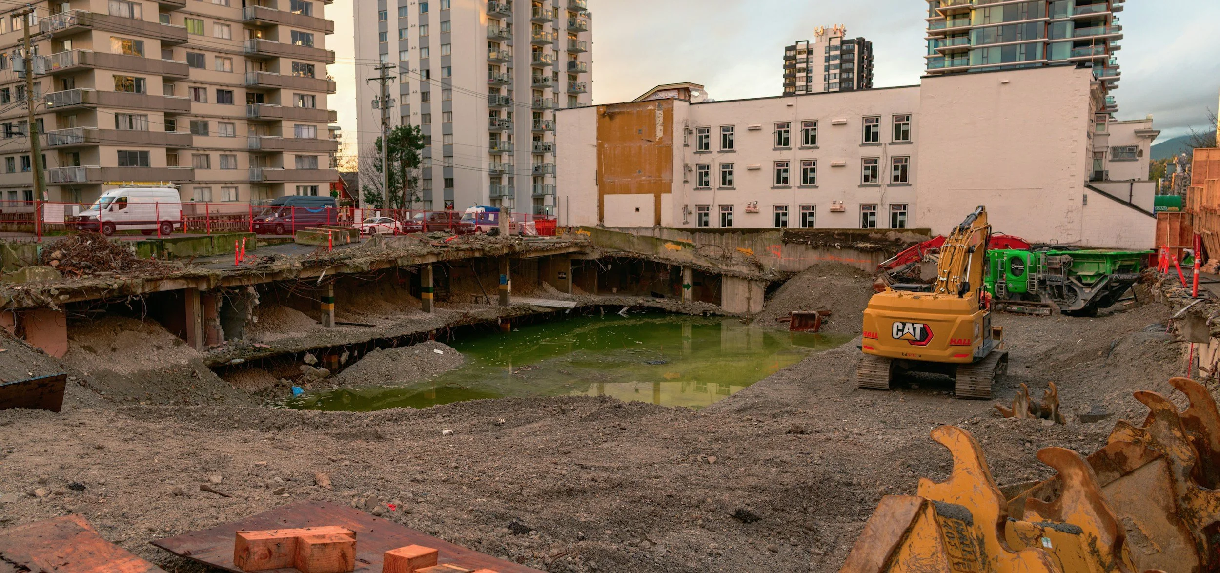
Excavation, dewatering and tunneling can affect buildings beyond the immediate works. The right starting point is a clear record of existing conditions and plausible ground response mechanisms. Historical InSAR documents long-term movement around neighboring properties and shows where closer baseline inspection is needed.
Define the buildings and possible mechanisms
Excavation, groundwater control and nearby foundations interact with soils and structures in different ways. A pre-construction assessment should map sensitive buildings, basements, retaining structures and utilities as well as the excavation itself. Historical satellite data reveals existing settlement patterns around these buildings, and site investigation and structural appraisal assess foundation strength and predict the response to the new works.
Combine the history with the construction plan
Compare movement records with ground investigations, building condition surveys, leveling, groundwater observations and the planned sequence of works. Identify buildings with reliable observations and those where satellite geometry or surface changes limit coverage.
Where a trend is already present, the designer may need a more detailed baseline or additional instruments. Structures with little tolerance for differential movement close to the excavation deserve particular attention. Decide which buildings need leveling, inclinometers, crack gauges or other direct monitoring during construction.
Write the plan so it works on site
Specify who reviews each monitoring stream, the thresholds derived from the engineering design and the action required when a reading is verified. Satellite observations remain a useful wide-area check, while automated instruments and site surveys cover shorter-timescale construction responses. Documenting existing movement separately from new project-period observations makes the plan easier to defend and easier for site teams to follow. See also our guide to pre-construction baselines and InSAR for civil engineering and infrastructure.
Frequently asked questions
-
Existing settlement patterns around neighboring buildings and streets, often going back many years.
-
Geotechnical investigations, foundation records and building condition surveys.
-
Not directly. They measure that part of the building, and engineers relate it to the foundations.
-
Before excavation begins, with more frequent on-site monitoring defined for the works themselves.
-
Map the buildings that could be affected and confirm historical radar availability.
