
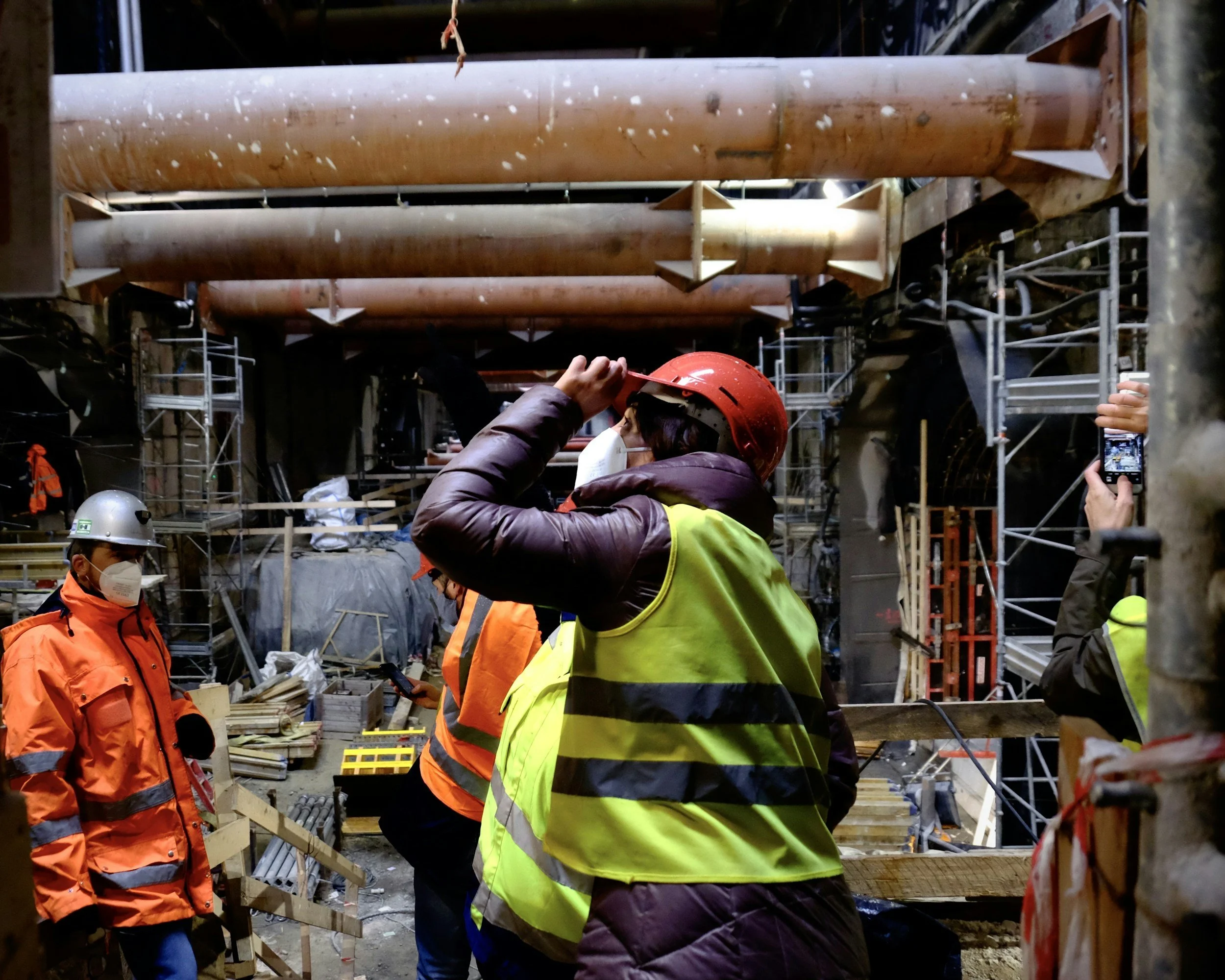
Tunneling projects need close control of ground movement as the tunnel boring machine advances. Prisms, leveling, inclinometers and other local systems measure conditions at the frequencies the construction monitoring plan requires. InSAR adds something different: a historical record and a wide-area view of movement, including places beyond the instrumented corridor.
Different instruments observe different things
Site instruments provide frequent local readings against engineering thresholds. Satellite InSAR provides a wider historical view of measurable surface movement, including surrounding streets and buildings outside the main instrument array. Because satellite acquisitions are periodic, construction alarms and stop-work triggers stay with the near real-time instruments, and InSAR supports background context, slower trends, post-construction monitoring and reviews of the wider urban area.
Make the measurements comparable
Agree which structures and ground areas will be compared, the dates for calculating trends and whether each measurement is vertical, horizontal or along the satellite line of sight. Use common coordinates and documented reference frames.
A prism on a facade and a radar target on a roof can respond differently, so a numerical difference is not automatically a data error. Where observations diverge, check location, reference, geometry and time interval before reaching a conclusion, rather than merging numbers that are not equivalent.
Use the combined view to find overlooked areas
A monitoring dashboard can show project instruments alongside satellite movement patterns and construction progress, while keeping their different precision and timing clear. Unexpected movement outside the planned instrument coverage may justify a field inspection or a new sensor. Historical trends help separate an established background pattern from a change during excavation. The result is a more complete engineering picture. Read more in how InSAR complements tunnel monitoring and InSAR for civil engineering and infrastructure.
Frequently asked questions
-
A wider-area, longer-term view of movement around the alignment, including areas without instruments.
-
Prisms, leveling, inclinometers, settlement markers and construction logs.
-
No. Live instruments handle construction control, and InSAR provides periodic context.
-
High-frequency local instruments for control, and satellite analysis for regular wider reviews.
-
Who reconciles the datasets and what each one is intended to measure.
