
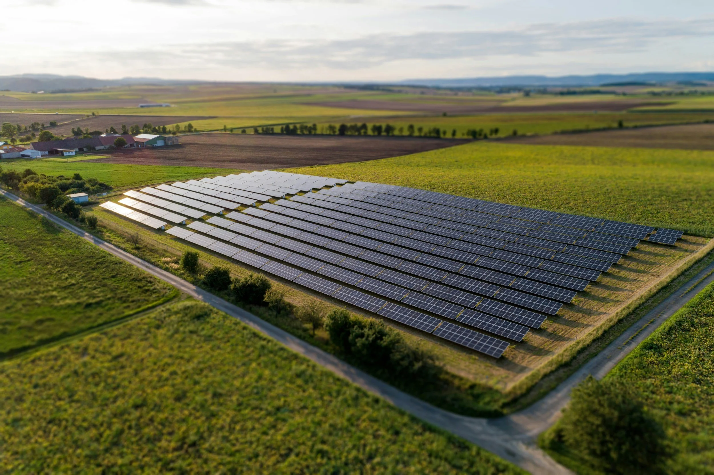
InSAR can help solar farm owners assess broad ground settlement and uplift across an entire site without installing instruments, wherever the site offers coherent radar targets. It is particularly useful for monitoring surrounding ground, hardstanding, roads and some fixed infrastructure. Interpreted by specialists, it shows where to investigate, although satellite displacement does not automatically indicate panel misalignment, pile damage or electrical performance problems.
Start with the ground and construction method
Utility-scale solar farms may sit on reclaimed land, former industrial sites, farmland or other ground with very different settlement behavior. The foundation and earthworks design determine which types of movement matter. A monitoring proposal should first set out the questions to answer, for example whether settlement is developing along access routes or around equipment, before a satellite product is selected. You can read more about the monitoring questions energy operators face on SkyGeo's InSAR for the energy industry page.
Recognize difficult surfaces
Vegetation, seasonal farming activity and changes in soil moisture can reduce radar coherence. Solar panels can produce strong, complex reflections that do not represent the ground beneath them. Construction phases change the population of radar targets, which makes comparisons before and after construction difficult. A coverage map should therefore show where satellite measurements are reliable and where site surveys are still needed.
Use displacement as context
A settlement pattern at a solar farm can justify comparing the finding with earthworks, drainage records, pile installation, foundation surveys and site inspections. It does not prove that an array has changed angle or that generation will be affected. The value lies in choosing where to investigate and providing a time history for engineering review, with the movement direction and reference stated. You can read more about how the method works in SkyGeo's introduction to InSAR.
Monitor the infrastructure around the array
Substations, access roads, cable routes and drainage structures can be easier to observe with radar than the panel field itself, and they may be more critical than general land cover. Prioritizing by asset lets the owner focus on places where a trend would have operational consequences, rather than treating every point equally. Follow-up can include targeted leveling, field observation or a specialist structural assessment.
Assessing your site
SkyGeo can provide the InSAR data and analysis to assess ground deformation at a solar development. The first step is a feasibility review of ground conditions, likely data coverage and the decisions you need to make, since every site is different. Get in touch to discuss a specific site.
Frequently asked questions
-
Not under every panel. Panels and changing vegetation affect radar reflections and some ground may have no reliable measurement points, but surrounding ground, roads and hardstanding can often be measured well.
-
Not directly. That requires operational performance data and engineering evidence, while surface displacement provides valuable context on ground conditions.
-
A site with a documented ground concern, suitable hard surfaces and existing survey data is a good test of whether satellite data adds value.
