
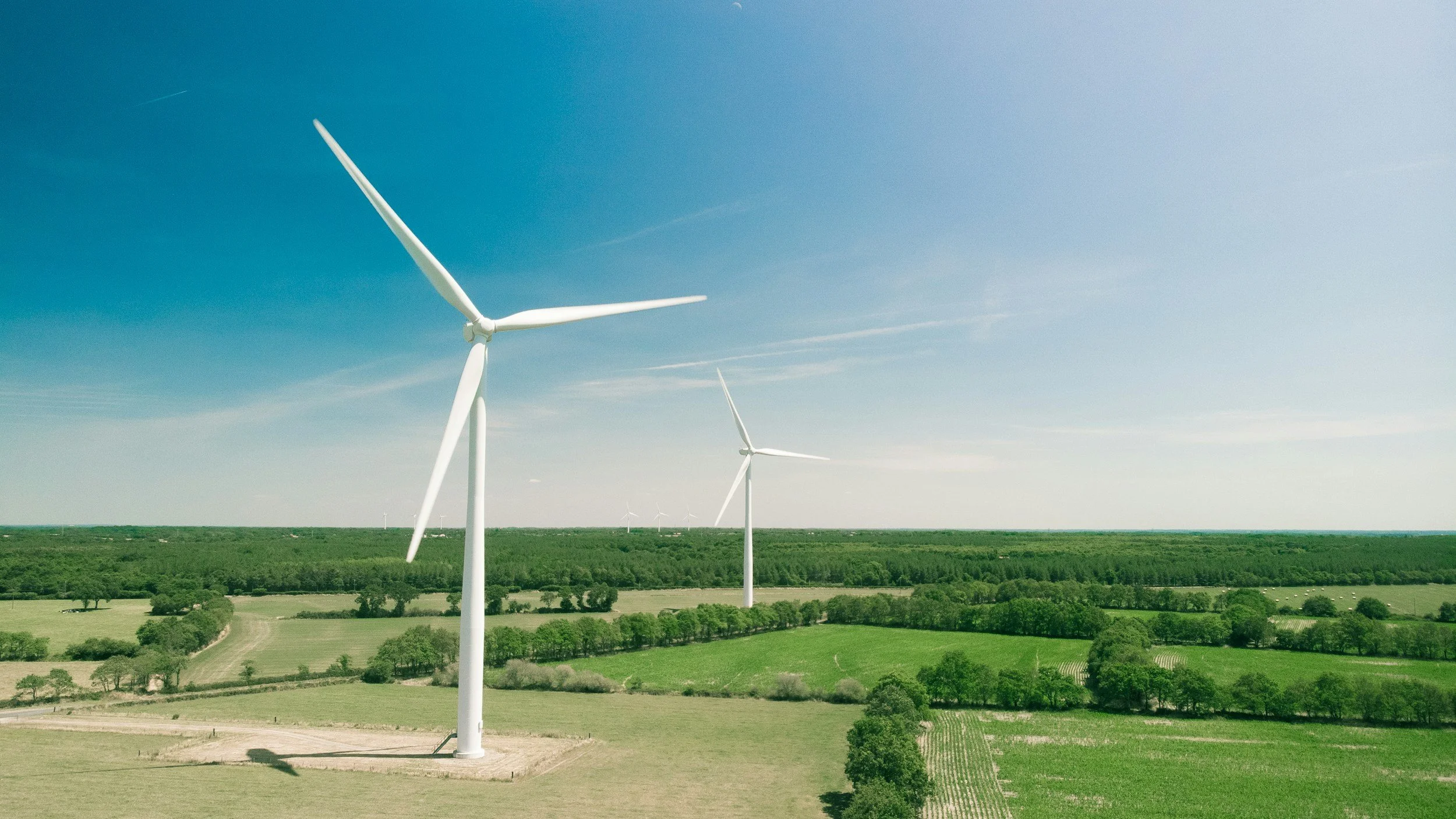
InSAR can help assess long-term ground deformation around onshore wind farms, screening access roads, surrounding ground and some fixed structures for settlement or uplift across the whole site. Where radar observations are suitable, it gives operators a consistent movement history without installing instruments. It complements, rather than replaces, structural inspections and foundation instruments for individual turbines.
Onshore and offshore projects are different
Onshore wind farms may have measurable ground, hardstanding or other persistent targets around foundations and site infrastructure. Offshore turbines are surrounded by water, where conventional ground InSAR faces very different conditions. An approach that works onshore will not necessarily transfer to offshore monopiles. Every project needs a feasibility review of targets, viewing geometry, timescales and the specific engineering question. You can read more about InSAR for energy assets on SkyGeo's InSAR for the energy industry page.
Focus on the ground behavior that matters
Relevant processes include consolidation after construction, settlement of access roads and changes in the surrounding ground. Movement across the landscape does not directly show turbine tilt, foundation damage or fatigue. A useful satellite observation is connected to site geology, construction records and the sensitivity of the asset. Any unusual trend needs corroboration before it changes an integrity conclusion.
Understand turbine and radar geometry
Moving blades and changing reflective surfaces can complicate radar interpretation around the turbine itself. A coherent point may represent nearby hardstanding, a structure or another object rather than the foundation. The analysis should state exactly which targets were used and what their measurement histories allow you to conclude. In some cases, the best role for satellite data is monitoring wider site conditions rather than individual turbines. You can read more about how the method works in SkyGeo's introduction to InSAR.
Connect observations to site maintenance
An operator could use long-term displacement evidence to guide surveys of land-based infrastructure or to investigate an unexpected settlement pattern. The monitoring schedule should match the timescale of movement and complement settlement markers, leveling, GNSS and other engineering methods. For a high-consequence structural concern, follow the wind farm's established inspection and safety process.
Getting started
SkyGeo provides InSAR data and expert analysis for ground deformation monitoring in suitable environments. To assess feasibility, we typically ask for the site layout, ground conditions, existing survey data and the decision you want satellite monitoring to support.
Frequently asked questions
-
Not as a routine assumption. Open-water coherence and structural reflections make any such application highly dependent on the site and method.
-
Not reliably from standard ground deformation measurements. Tilt assessment requires dedicated structural observations.
-
Onshore hardstanding, surrounding ground, access roads and suitable structures usually offer better opportunities than moving turbine components.
