
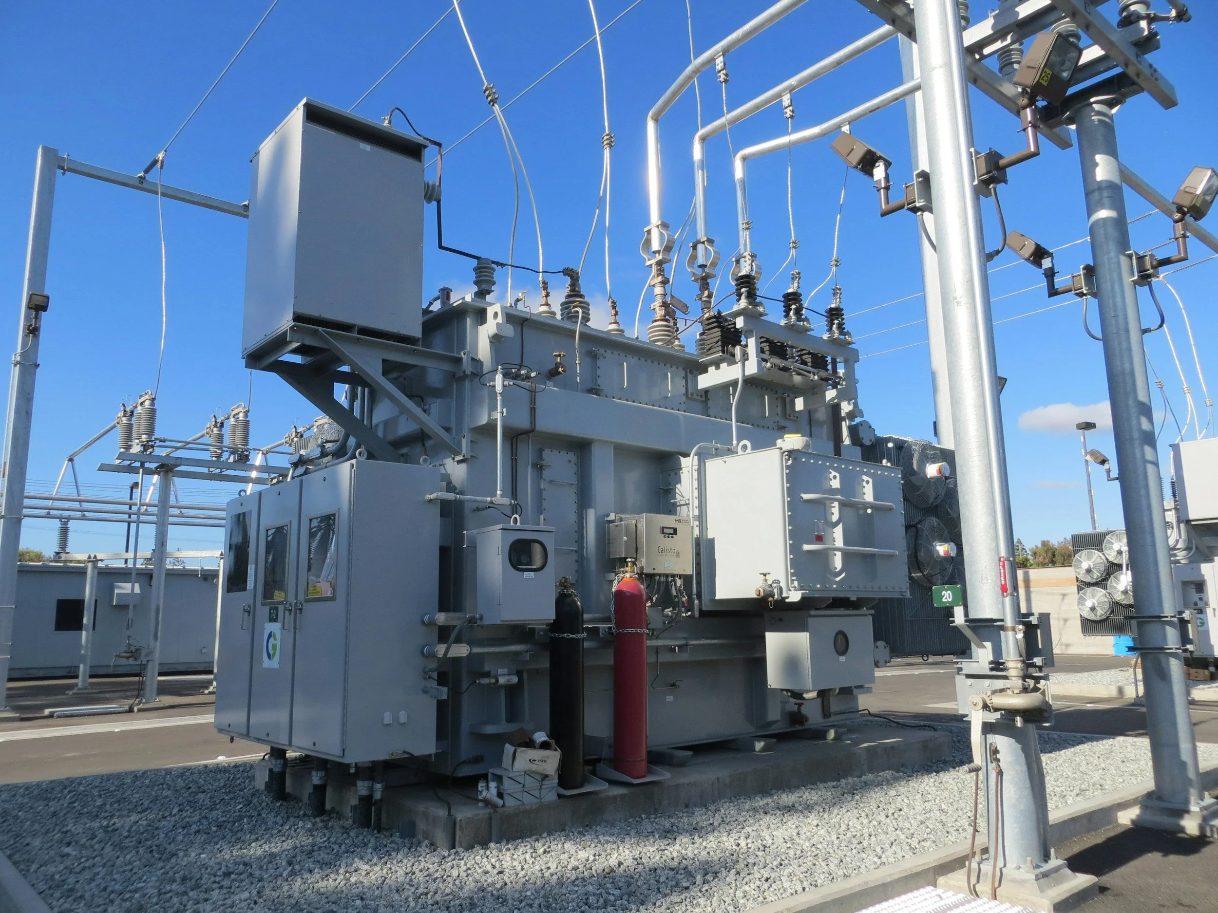
Substations combine foundations, switchgear, cable routes, access roads and drainage on sites where even modest movement may need investigating. Transmission networks add long corridors of assets spread over wide areas. InSAR lets utilities screen ground behavior across many sites and corridors at once, something that would be very costly to do with ground surveys alone.
Why utility sites are sensitive to differential movement
At a substation, a small area of differential settlement can matter more than a uniform regional trend, especially where rigid connections meet moving ground. Transmission lines face a different challenge, crossing varied soils, slopes and drainage conditions along their length.
Satellite monitoring shows the surrounding movement context and highlights places where a structural or geotechnical inspection would be useful, particularly on soft ground, reclaimed land or in areas of mining subsidence. The behavior of an individual pylon, transformer or cable termination is then confirmed with on-site measurements.
Build a site and corridor inventory
Map equipment compounds, tower foundations, access routes and known ground hazards against the available movement data. Separate measurements on buildings or hardstanding from those on natural ground. Compare persistent trends with asset inspections, foundation surveys, vegetation changes, cable maintenance and geotechnical records.
Locations with few satellite targets can be covered with leveling or other methods. A clear map of what is and is not observed makes a targeted inspection program easy to defend.
Support maintenance and investment planning
Where a confirmed trend overlaps critical assets, a utility may survey foundations, check drainage or plan remedial work alongside a scheduled outage. Network planners can also use historical movement when assessing extensions or replacement sites.
The result is a clear engineering question and a practical action. Transparent reporting of uncertainty matters here, because access restrictions and outage costs make unnecessary interventions expensive. Learn more about InSAR for civil engineering and infrastructure.
Frequently asked questions
-
Local movement around foundations and compounds, and settlement trends along entire corridors.
-
Foundation surveys, cable inspections, geology and groundwater data.
-
Not automatically. Equipment alignment and clearances are confirmed with on-site measurements.
-
As part of scheduled network risk reviews, and after major ground works nearby.
-
By screening a group of substations with varied ground conditions.
